Norway · Rogaland
Where to Stay in Utsira, Rogaland


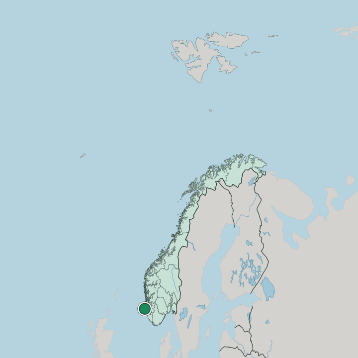
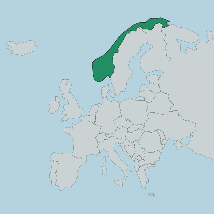
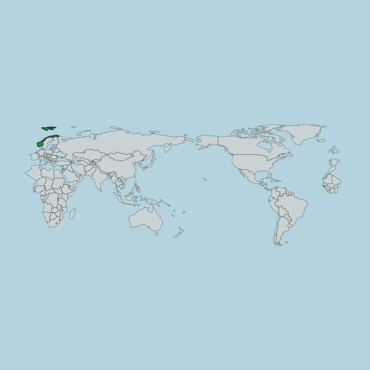
Utsira is a small island in Rogaland, in the north-western part of the county, in western Norway (Vestlandet).
Find your area →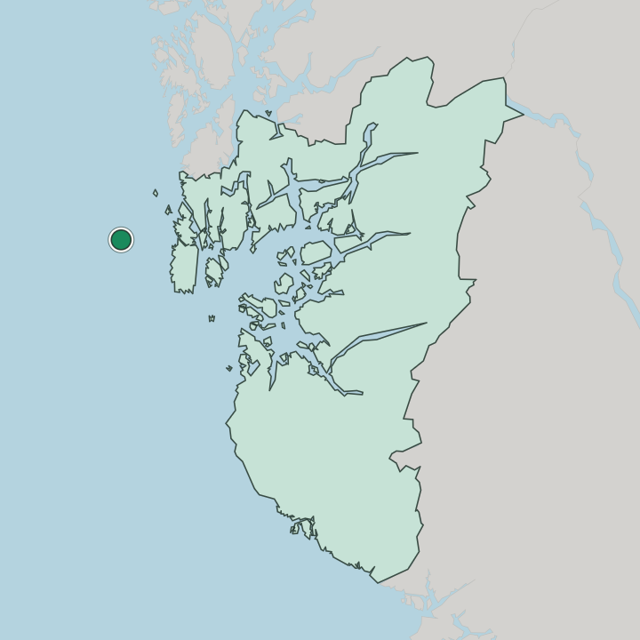
Where to stay in Utsira
Not every neighbourhood fits every trip — here's what each one is good for.
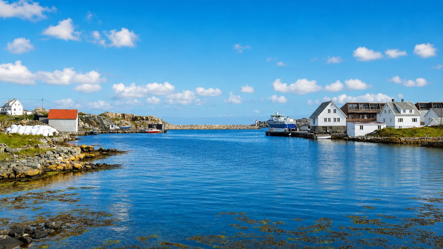
Beds are scarce on Utsira, the small island set far out in the north-western part of Rogaland. What lodging there is gathers near the harbour and Utsira kirke at the centre of the island, where the few houses cluster against the wind off the open sea. The island suits visitors who want quiet.
It draws those who come for the birds, the open water and the long views over the sea, and who do not mind that the choice of rooms is small. Plan ahead. The crossing from the mainland is by sea, and in the warm months the handful of rooms on this far western edge of western Norway (Vestlandet) fill quickly, so book well before the boat.
About Utsira
What is Utsira known for?
Utsira is the small island that lies furthest out in the north-western part of Rogaland. The open sea sets it apart. Utsira kirke stands at the centre of the island, a heritage church serving the few who live on this far western outpost, and the wind and the waves of the open water shape every part of the place.
Birds cross the island in their thousands, and Utsira keeps its name as the westernmost ground of western Norway (Vestlandet).
What are the main landmarks in Utsira?
Utsira kirke is the chief mark of the island, a heritage church standing at the centre of Utsira. The sea makes the rest. Wind-bent ground, low houses and the open water ring the church on every side, and the island carries little in the way of building beyond it.
The church holds the island together. It keeps the faith and the gathering place of this small ground in the north-western part of Rogaland, in western Norway (Vestlandet).
What is the history of Utsira?
Utsira grew as an island apart. A settlement took hold on the small ground set far out in the north-western part of Rogaland, where the open sea ringed the island on every side and drew fishers and farmers to a hard living off the wind and the water, in a place reached only by boat from the distant mainland coast. The church came to bind them.
Utsira kirke rose at the centre of the island as the gathering place of the few, a heritage church kept through the long years of the island's history. The sea ruled everything here. Fishing carried the island through the seasons, and the boats tied Utsira to the mainland across the open water.
The island kept to itself. Birds crossed it in great numbers on their long passages, and the island became known to those who watched them, while the small community held on around Utsira kirke, in the far western part of Rogaland, the outermost ground of western Norway (Vestlandet).
Where is Utsira?
Utsira lies far out in the north-western part of Rogaland, in western Norway (Vestlandet). The island sits alone in the open sea, set off the mainland coast with deep water on every side. Wind shapes the ground.
Low rises, bare rock and sheltered hollows make up the island, with Utsira kirke at its centre and the harbour drawing the houses to the calmer shore, the whole of it a single small island in the far west of the county.
What is the climate of Utsira?
Utsira keeps the raw, windswept weather of the open sea. The water around the island holds the winters mild, with hard frost rare, while gales and rain drive in off the sea through much of the year. The wind seldom rests.
Summers stay cool, grey more often than bright, with the salt air carried over the low ground, and the changeable weather of the open water reaches every corner of the island in the far western part of Rogaland.
How do you get to Utsira?
Utsira lies far out in the north-western part of Rogaland, reached only by boat across the open sea from the mainland coast. The crossing is the way in. From the harbour the few roads run up to Utsira kirke at the centre of the island and out to the shores, while the boat link carries every traveller over the open water to this far western island of western Norway (Vestlandet).
Good for
More cities in Rogaland
Updated July 2026