Sweden · Västerbotten County
Where to Stay in Nordmaling, Västerbotten County


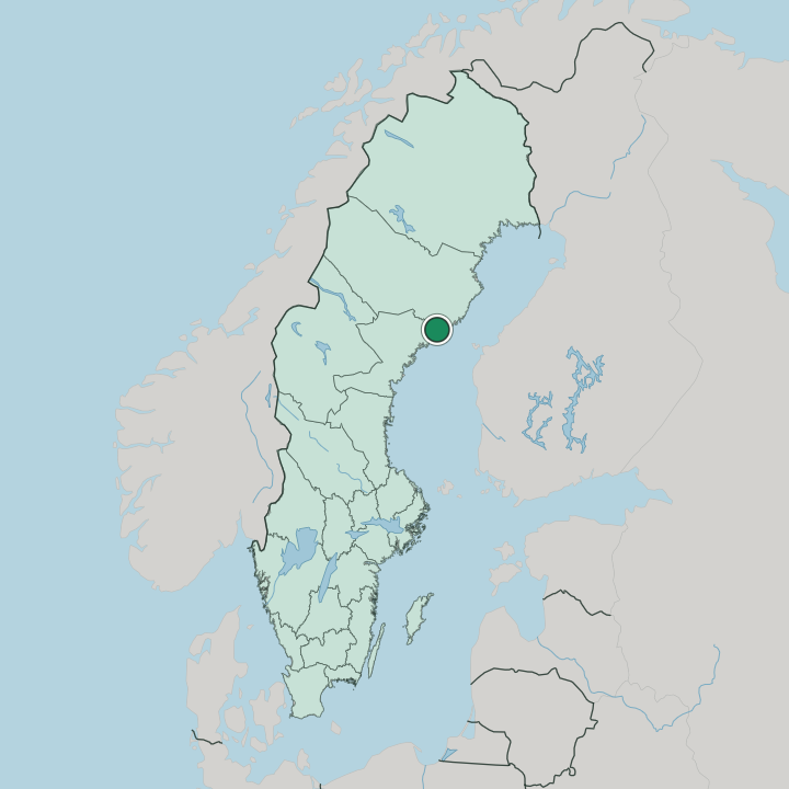
Nordmaling is a small town in south-eastern Västerbotten County, near the coast of the Gulf of Bothnia in northern Sweden.
Find your area →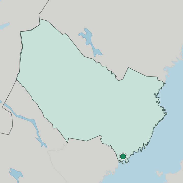
Where to stay in Nordmaling
Each area has its own feel; here's who each one suits.
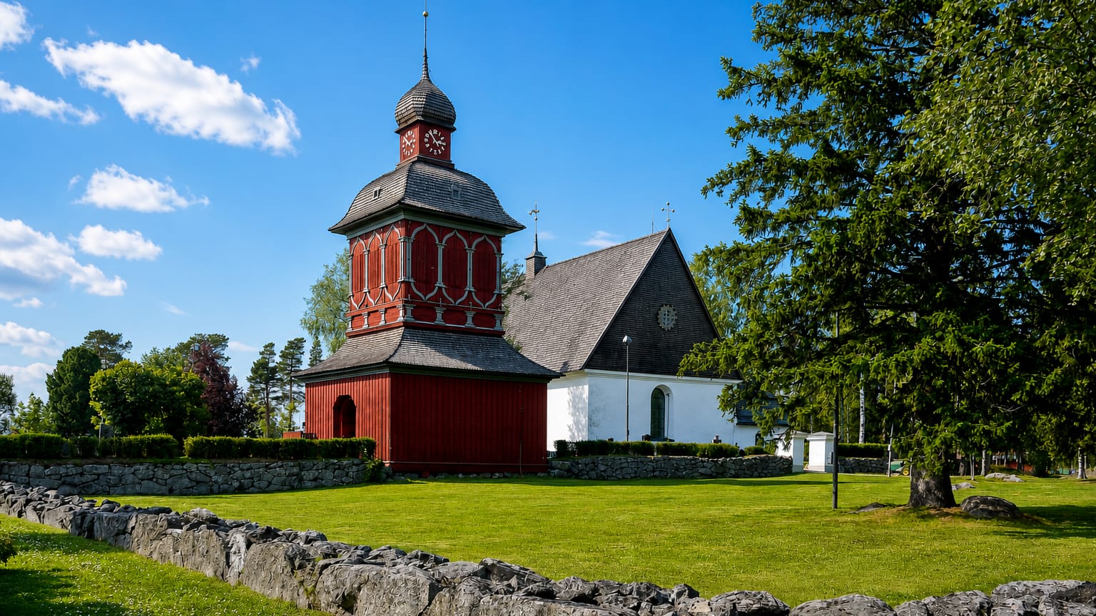
Most visitors stay in the town centre, where a hotel and guesthouses sit within an easy walk of Nordmalings kyrka, the shops, the station, and the road that carries coast traffic between Umeå and Örnsköldsvik. The centre suits travellers who want services close at hand and a short step to the railway and the shore. The centre holds only a few beds.
Along the Bothnian coast and the rivers of the surrounding municipality, cabins, campsites, and holiday cottages open through the warm months near the beaches, the harbours, and the fishing waters, drawing families, anglers, and boaters who come for the sea and the summer light. The forest interior holds farm stays and self-catering houses for those touring by car. Reserve ahead for the warm months.
The short warm season, the coastal draw, and the pull of the shore together press on the rooms across the brightest weeks of the year.
About Nordmaling
Nordmaling is a coastal parish.
What is Nordmaling known for?
The town sits near the shore of the Gulf of Bothnia in the south-eastern corner of Västerbotten, between the cities of Umeå and Örnsköldsvik, and travellers know it as a quiet stop on the coast road and railway of the northern Baltic. Nordmalings kyrka marks the centre. The surrounding district draws those after the Bothnian shore, the old ironworks at Olofsfors, and the forest and farmland of a calm coastal corner away from the larger towns.
What are the main landmarks in Nordmaling?
Nordmalings kyrka stands at the heart of the town, the parish church that gives the centre its landmark and its bell. Norrskenshallen serves the community as its hall. Sport and events fill the arena.
At Olofsfors the old ironworks keeps its preserved bruk buildings, and together with the Bothnian shore and its beaches and harbours and the rivers and forest of the surrounding parish it rounds out a landscape shaped by the sea, the woods, and the industry of an earlier age. The coast lies close at hand.
What is the history of Nordmaling?
The coast drew the first settlers. Farms and fishing camps gathered along the shore of the Gulf of Bothnia and the rivers running down to the sea in the south-eastern corner of Västerbotten, where fishing, farming, and the timber of the inland forests long sustained a scattered coastal people. Nordmalings kyrka rose as the gathering point for the growing parish.
The sea and the rivers shaped the early life. Ironworking marked a turning point. The bruk at Olofsfors was founded in the eighteenth century to work iron with charcoal from the surrounding forests and water power from the rivers, and it became one of the notable early industries of the coastal north.
Roads and rail then opened the shore. Nordmaling grew into the seat of its surrounding municipality as the coast highway and the railway tied it to Umeå and Örnsköldsvik, and through the modern age the town held its place as the market and administrative centre of a quiet coastal and forest district.
Where is Nordmaling?
Nordmaling lies in the south-eastern part of Västerbotten County, near the coast of the Gulf of Bothnia in northern Sweden. The town sits a short way inland from the shore, with the rivers of the district running down to the sea past wooded ridges and scattered coastal farmland in the surrounding municipality. The land is low and forested.
Roads and the railway tie the town north toward Umeå and south toward Örnsköldsvik, while the Bothnian shore with its bays and islets edges the district to the east.
What is the climate of Nordmaling?
Nordmaling keeps a cold coastal climate. Winters are long and snowy, with the Gulf of Bothnia freezing along the shore and snow lying over the coast and forest through much of the dark half of the year, a steady cold tempered a little by the nearby sea. Summers come short but bright.
The long daylight of high summer warms the shore and the water enough for bathing in the brightest weeks, drawing families and boaters before the autumn closes in. Sea winds reach the coast all year.
How do you get to Nordmaling?
Nordmaling sits on the coast road between Umeå and Örnsköldsvik, with the railway along the Bothnian shore running through the town. Drivers reach it easily along the coast highway. Trains call at the station.
The nearest large airport lies at Umeå to the north, which serves as the main gateway, while regional roads tie the town to the coastal and forest villages of the surrounding district along the Gulf of Bothnia.
More cities in Västerbotten County
Updated July 2026