Ukraine
Zaporizhzhya Oblast, Ukraine — Towns & Travel Guide


Zaporizhzhya Oblast is the Cossack heartland of south-eastern Ukraine, where the Dnieper cuts past Khortytsia toward the Sea of Azov.
Find your area →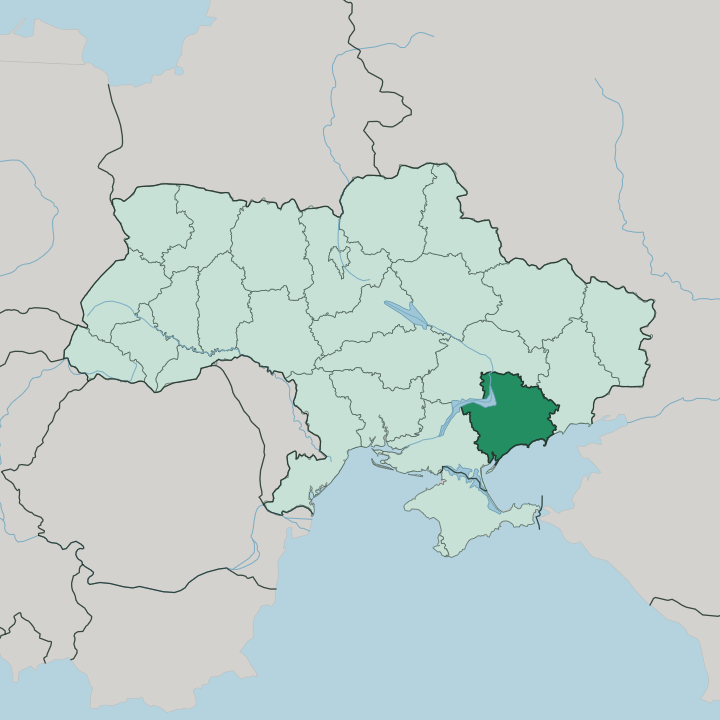
Towns & cities in Zaporizhzhya Oblast
Pick a town or city — each links to where to stay.
 Ukraine
Zaporizhzhya
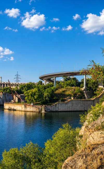
The Dnieper River runs wide past Zaporizhzhia, a city in southeast Ukraine and the seat of Zaporizhzhia Oblast, known for Khortytsia island and its…Where to stay →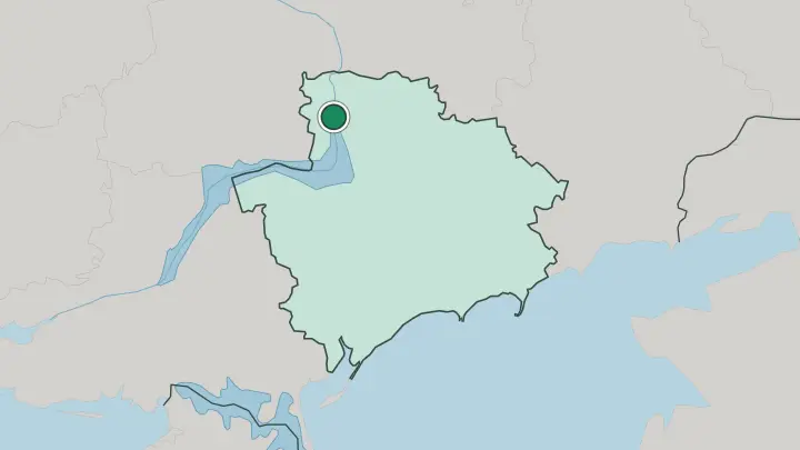
 Ukraine
Melitopol
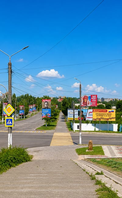
The Molochna River threads Melitopol, the second city of Zaporizhzhya Oblast, known for the Melitopol Museum and the Stone Grave nearby.Where to stay →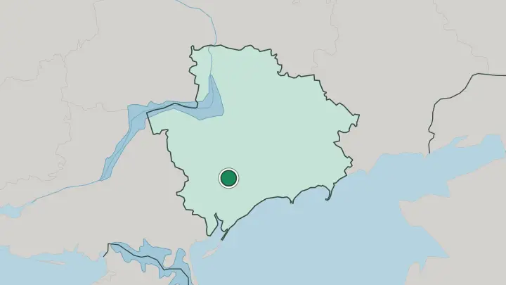
 Ukraine
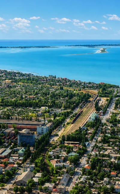
Berdyansk
Sand spits reach into the water at Berdyansk, a port and spa town on the Sea of Azov in Zaporizhzhya Oblast.Where to stay →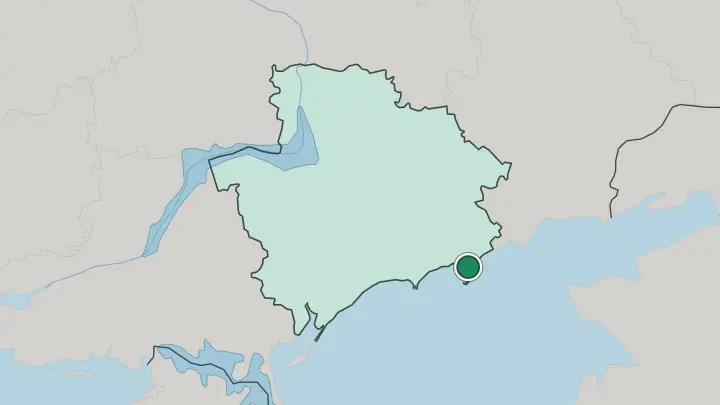
About Zaporizhzhya Oblast
This is Cossack country.
What is Zaporizhzhya Oblast known for?
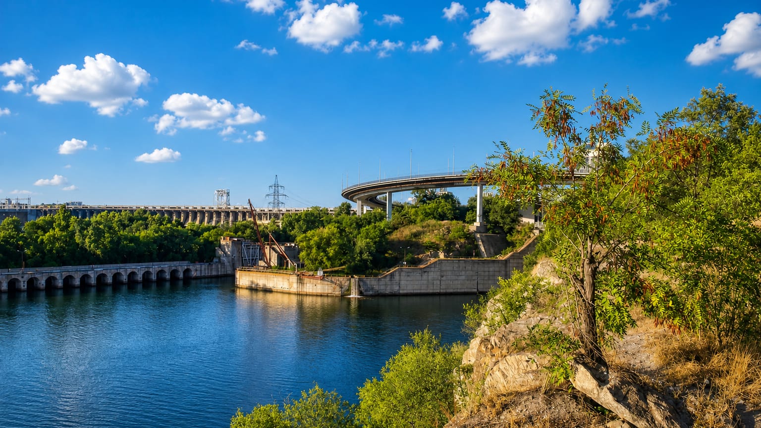
The name itself means "beyond the rapids," the stretch of the Dnieper where free horsemen once made their stand. Its symbol is Khortytsia, the largest river island in the Dnieper, long tied to the memory of the Zaporozhian Sich. The regional capital, Zaporizhzhia, grew up around the great DniproHES dam that harnessed the river in the 1930s and gave the industrial city its power.
South of the steppe the land runs down to the warm, shallow Sea of Azov, where Berdiansk draws swimmers to its long sandy spit.
Where is Zaporizhzhya Oblast?
Zaporizhzhya Oblast lies in south-eastern Ukraine, a wedge of open steppe running from the Dnieper down to the sea. The great river forms its western flank. It enters near the capital, where the DniproHES dam spans the channel and Khortytsia splits the current into two arms.
Below the dam the land flattens into the Pontic-Caspian steppe, the treeless grassland that once carried Scythian burial mounds and Cossack horsemen and now carries wheat and sunflower fields to the horizon. The south belongs to the Sea of Azov. Along that warm, shallow coast the shore breaks into sandy spits and lagoons, from the Molochna estuary to the long hook of sand at Berdiansk.
The terrain barely rises. Its highest ground is the low swell of Belmak-Mohyla, a hill in the eastern steppe rather than any mountain, and rivers such as the Molochna and the Konka thread south toward the Azov shore, many shrinking to a trickle through the dry summer.
What is Zaporizhzhya Oblast like?
Cossack identity sits at the centre of how this region sees itself. Khortytsia is its shrine. The island holds the reconstructed wooden fort and church of the Zaporozhian Sich, and the horsemen of its equestrian theatre still ride in the old style for the crowds who cross the Dnieper to watch.
That memory of free steppe warriors runs through the local songs, the museums and the statues of the capital. The other face of the region is Soviet and industrial. Zaporizhzhia was rebuilt around the DniproHES dam as a planned city of steel mills and constructivist workers' avenues, and that heavy-industry stamp shaped its music, its sport and its plain, hard-working character.
Ukrainian is the everyday language, spoken across the steppe villages and the coast alike. Down south the culture softens into a seaside one. Melitopol turns its cherry harvest into a summer festival, and the Azov resorts keep the older habit of the health cure, with mud baths and mineral springs drawing visitors to the shore.
What is the history of Zaporizhzhya Oblast?
Long before any oblast existed, these steppes were the domain of the Zaporozhian Cossacks, whose fortified Sich stood on and around Khortytsia from the sixteenth century. Catherine II of Russia crushed that self-governing host in 1775 and threw the grassland open to settlement. The modern region is far younger.
Zaporizhzhya Oblast was carved out as an administrative unit in 1939, by then anchored on the industrial boom that the DniproHES dam had touched off along the Dnieper a few years earlier.
What is the climate of Zaporizhzhya Oblast?
The steppe sets the weather. Summers here are hot and dry, baking the open grassland brown, while winters stay mostly mild with only thin, unreliable snow. Rain is scarce and comes in short bursts, so many of the smaller steppe rivers run low by late summer.
The Sea of Azov tempers the southern coast around Berdiansk, holding its shallow water warm enough for a long bathing season that reaches well past the peak of summer.
How do you get to Zaporizhzhya Oblast?
Rail is the backbone. Zaporizhzhia sits on the main line running down the Dnieper from Kyiv and Dnipro, and its station has long been the usual way in for travellers heading south. Roads fan out across the steppe from the capital toward Melitopol and the Azov coast.
In the warm months the pull is the sea, and the resort of Berdiansk fills up as holidaymakers ride the roads and rails down to its beach on the Sea of Azov.
Common questions
What is the best area to stay in Zaporizhzhya Oblast?
Melitopol: a stop between the steppe and the sea.
Good for
Updated July 2026