Ukraine
Ivano-Frankivsk Oblast, Ukraine — Towns & Travel Guide


Ivano-Frankivsk Oblast is western Ukraine's Carpathian corner, holding Hoverla, the country's highest peak, and the source of the Prut river.
Find your area →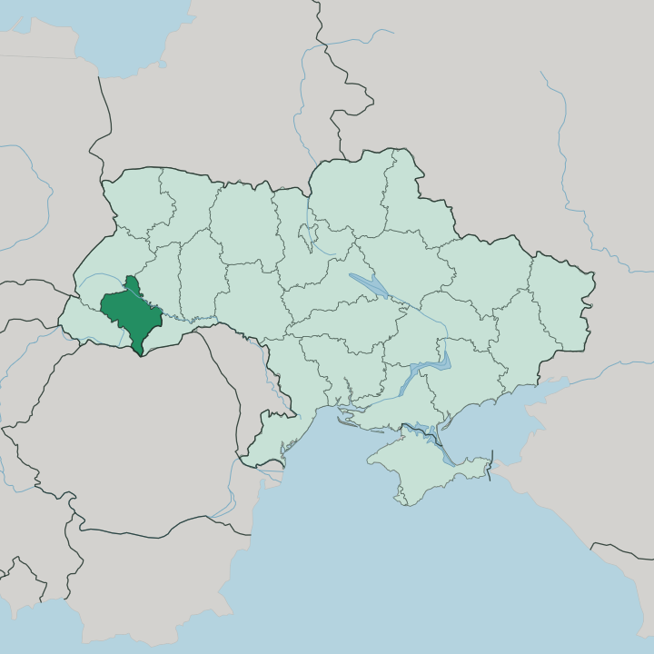
Towns & cities in Ivano-Frankivsk Oblast
Pick a town or city — each links to where to stay.
 Ukraine
Ivano-Frankivsk
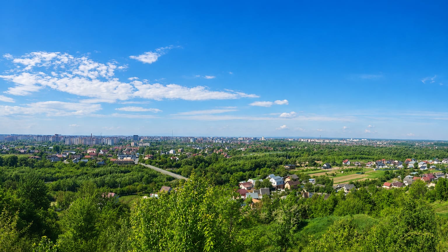
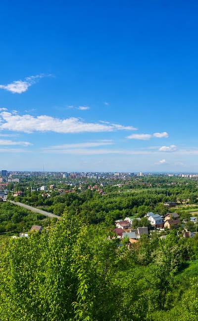
Church spires rise over the old core of Ivano-Frankivsk, a city in East Galicia in western Ukraine, known for the Ivan Franko monument and Christ the King…Where to stay →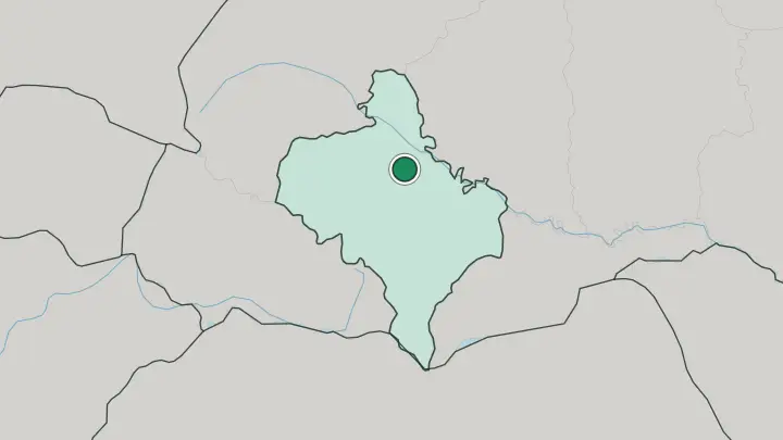
About Ivano-Frankivsk Oblast
Mountains, mostly.
What is Ivano-Frankivsk Oblast known for?
Almost half the oblast sits under the Carpathians, and the Chornohora range along its southern edge carries Hoverla, the highest summit in Ukraine at 2,061 metres. Bukovel, the largest ski resort in the country, fills its slopes each winter. The region is also the heart of Hutsul country, and Kolomyia keeps a museum shaped like a painted Easter egg to hold thousands of pysanky.
Ivano-Frankivsk, the hub city that gave the oblast its name, anchors the plains to the north.
Where is Ivano-Frankivsk Oblast?
Ivano-Frankivsk Oblast lies in western Ukraine, where the East European plain buckles up into the Carpathians. The land splits three ways. Flat farmland and the Podolian upland spread across the north, a belt of foothills follows, and then the mountains take over the whole southern half of the oblast.
The Carpathians here run in ranges to the south-east, and the Chornohora ridge along the southern rim carries Hoverla, the highest point in all of Ukraine at 2,061 metres. Two rivers organise everything below the peaks. The Dniester traces the northern edge, gathering tributaries like the Limnytsia and the Bystrytsia as it flows north-east.
The Prut rises on the eastern slope of Hoverla itself and cuts south-east through Yaremche and Kolomyia on its way to the Danube. Romania lies over the mountain crest to the south. Inside Ukraine the oblast borders Lviv, Ternopil, Chernivtsi and Zakarpattia, the last of these across the high Carpathian watershed.
That divide between plain and peak shapes almost everything else.
What is Ivano-Frankivsk Oblast like?
This is Hutsul land above all else. The Hutsuls are the mountain people of the high Carpathians, and their villages fill the southern ridges alongside the Boykos and other highland communities of the region. Their craft is the loud, living centre of the culture here.
Kosiv is the old capital of Hutsul folk art, known for its carved wood, glazed ceramics and a weekend fair that draws makers down from the hills. Kolomyia holds the other half of the story. The town keeps the Museum of Hutsulshchyna and Pokuttia folk art, and beside it a museum built in the shape of a painted Easter egg guards thousands of pysanky.
Pysanka, the wax-and-dye egg painting of these mountains, is the region's signature art. The oblast is Ukrainian-speaking Galicia through and through, a stronghold of the language and its literature. It even carries a writer's name.
Ivano-Frankivsk was renamed in 1962 for Ivan Franko, the poet whose work shaped modern Ukrainian letters. Mountain music, embroidery and church architecture round out a culture that stayed rooted while empires came and went.
What is the history of Ivano-Frankivsk Oblast?
It started as a fortress. The hub city began as Stanyslaviv, founded in 1662 by the Polish magnate Potocki, who named the new town for his son and walled it against Tatar raids. For centuries the surrounding land was eastern Galicia, ruled from Poland and then from Vienna after the Austrian Empire took the province.
Poland held it again between the world wars. The Soviet Union annexed the territory in 1939 and drew the oblast in that year. Its capital kept the old name until 1962, when it became Ivano-Frankivsk to honour the writer Ivan Franko on the town's three-hundredth anniversary.
What is the climate of Ivano-Frankivsk Oblast?
How high you stand decides the weather in Ivano-Frankivsk Oblast. The oblast has a mildly continental climate, but the split between plain and peak is sharp: the northern lowlands stay comparatively dry while the Carpathian slopes catch far more precipitation through the year. The Carpathians shape the weather.
Winters bring reliable snow to the high ground, which is what keeps Bukovel and the Chornohora resorts busy from cold months into spring. Summers turn mild and green in the valleys. The Prut and Dniester run high with meltwater once the ridges thaw.
How do you get to Ivano-Frankivsk Oblast?
Ivano-Frankivsk is the way in. The hub city runs an airport and sits on the rail line that ties the region to Lviv, the nearest big transit hub to the north. From Lviv the H09 highway drops south through Rohatyn, passes the capital, and climbs on through Yaremche toward the mountain crest.
Trains carry on from Ivano-Frankivsk into the foothills, reaching Yaremche and the Bukovel road for skiers. Romania lies over the high Carpathian passes to the south, but the everyday approach is from Lviv.
Common questions
What is the best area to stay in Ivano-Frankivsk Oblast?
Ivano-Frankivsk: arriving and basing in the lowland hub city.
Good for
Updated July 2026