Ukraine
Luhanska Oblast, Ukraine — Towns & Travel Guide


Luhanska Oblast is Ukraine's easternmost region, a coal-and-steppe country on the Siverskyi Donets in the Donbas.
Find your area →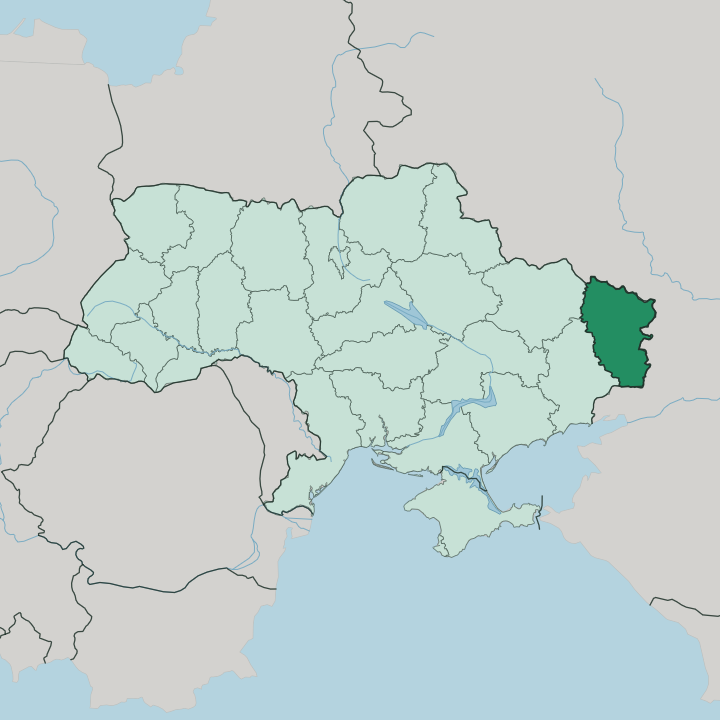
Towns & cities in Luhanska Oblast
Pick a town or city — each links to where to stay.
 Ukraine
Luhansk
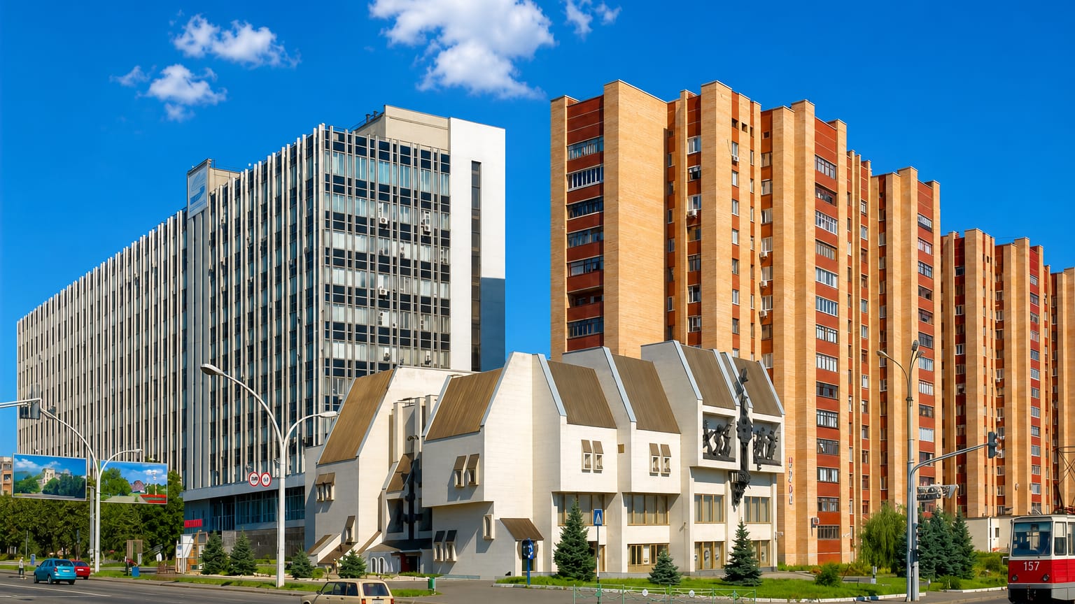
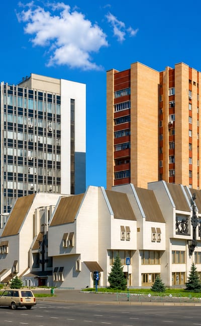
Foundry smoke shaped Luhansk, a city on the Donbas steppe in eastern Ukraine, known for its ironworking origins and Vladimir Dal's Literary Museum.Where to stay →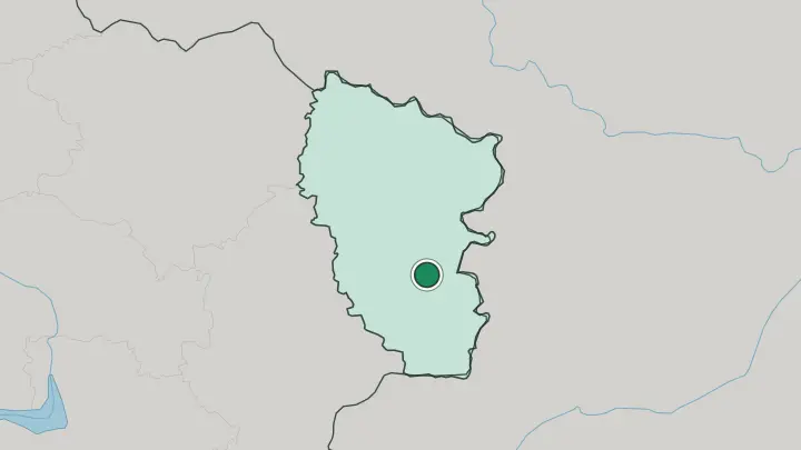
About Luhanska Oblast
Coal built this place.
What is Luhanska Oblast known for?
The southern half of Luhanska Oblast sits inside the Donbas, the mining and heavy-industry belt that grew up around the Siverskyi Donets in the 19th century. Mine headframes, chemical works, and steel towns line the river valley, and Luhansk itself stands on the smaller Luhan to the south. North of the Donets the ground changes to open Starobilsk steppe, grain fields and river meadows that feel a world away from the collieries.
It is the far eastern edge of Ukraine, pressed against the Russian border.
Where is Luhanska Oblast?
Luhanska Oblast fills the far eastern corner of Ukraine, a wedge of land roughly 250 km from north to south and 190 km across. Kharkiv Oblast lies to the west and Donetsk Oblast to the south. The rest of its edge is Russia. A long border, some 746 km of it, runs along Russia's Belgorod, Voronezh, and Rostov oblasts, so the region is bounded on three sides by another country.
The Siverskyi Donets is the spine of the whole place. It enters from the west, flows west to east, and splits the oblast into two unlike halves. North of the river the land opens into the Starobilsk plain, a gently rolling steppe of grain and pasture that climbs toward the Central Russian Upland, cut by the Aidar and other left-bank tributaries running down to the Donets.
South of the river the ground rises again into the Donetsk Ridge, the upland that carries the coal seams and lifts to Mohyla Mechetna at 367 metres, the highest point in the region. Luhansk sits down in that southern half on the Luhan, a smaller river that joins the Donets system. The Donets itself does not stop here.
It leaves the oblast eastward, crosses into Russia's Rostov Oblast, and eventually reaches the Don. That is the pattern of the land. River in the middle, steppe to the north, coal ridge to the south, and a foreign frontier wrapped around the east.
What is Luhanska Oblast like?
This is Russian-speaking, mining-town Ukraine, shaped by the pit and the works far more than by any old capital. The Donbas made the culture. Waves of miners and metalworkers settled the coal valley through the industrial century, and the towns they built are young and planned around the works rather than the merchant-and-cathedral kind found further west.
Luhansk grew from an 18th-century cannon foundry, and that founding logic, industry first, runs through the whole region. Russian is the everyday language across most of the oblast, a legacy of who came to dig and smelt. Yet the countryside tells an older story.
Out on the Starobilsk steppe the land was Cossack borderland long before the mines, wide grassland grazed and fought over on the edge of the settled world. Fragments of that original steppe survive as protected reserve, the Striltsivskyi and Provalskyi grasslands where feather-grass and wild tulips still hold. The Donets valley itself carries ribbons of oak and pine forest through the open country.
So the character pulls two ways. Colliery and chemical town on one side, Cossack grassland on the other, with the river threading between them.
What is the history of Luhanska Oblast?
The region became a distinct oblast in 1938, carved from Donetsk Oblast when the old Donbas province was split in two. For decades it wore a borrowed name. It was called Voroshilovgrad Oblast, after the Soviet marshal, until 1958, then again from 1970 to 1991, before settling as Luhanska Oblast at independence.
The land itself was worked long before that boundary was drawn, first as Cossack steppe frontier and then, from the 19th century, as one wing of the great coal basin along the Siverskyi Donets. Its modern story is the story of the Donbas.
What is the climate of Luhanska Oblast?
Luhanska Oblast has a humid continental climate, the hot-summer kind found across Ukraine's eastern steppe. Winter grips the Luhansk steppe hard. Snow lies for long spells and the open Starobilsk plain gives the wind nothing to break it, so January bites hard.
Summers swing the other way, dry and hot over the grassland, with July afternoons that have pushed past 40 °C on the worst days near Luhansk. Rain is thin and comes mostly as summer storms rather than steady fronts, which is why the steppe browns off by August. The Siverskyi Donets valley stays a little greener through it all.
How do you get to Luhanska Oblast?
Reaching the region means crossing eastern Ukraine to its farthest corner. Rail is the historic way in. The Donbas grew up around dense mining railways, and lines run east from Kharkiv Oblast and up from Donetsk Oblast toward Luhansk and the Donets valley towns.
Roads follow the same corridors, tracing the Siverskyi Donets across the region. Sievierodonetsk sits on the northern bank of that river, about 110 km north-west of Luhansk, and the two anchor the main routes through the oblast.
Common questions
What is the best area to stay in Luhanska Oblast?
Luhansk: the regional capital on the Luhan.
Updated July 2026