South Africa · Western Cape · Cape Town
Woodstock, Cape Town — Area Guide & Where to Stay


Woodstock is one of Cape Town's oldest suburbs, wedged between the central City Bowl and Salt River on the low ground below Devil's Peak. Once a working-class factory quarter, it has become the city's design and arts district, with converted warehouses along Albert Road. Its walls carry some of Cape Town's largest street murals. The Old Biscuit Mill pulls weekend crowds.
About Woodstock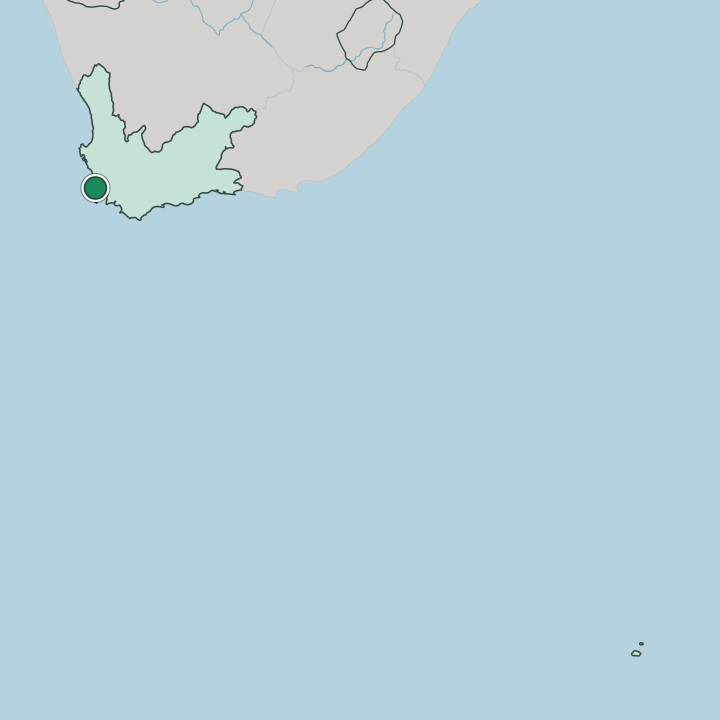
Where to stay in Woodstock
Not every neighbourhood fits every trip — here's what each one is good for.
Woodstock rewards a certain kind of visitor. Its beds sit in loft apartments, guesthouses, and small design hotels carved from old factories and warehouses along Albert Road. Choose the suburb for the weekend market at the Old Biscuit Mill, the mural-covered walls, and a quick run into the City Bowl for sightseeing.
It leans workshop-and-cafe rather than beach. For sand, Sea Point and Camps Bay sit a short drive west, while the bed count stays modest enough that you should book ahead or fall back on the wider city.
About Woodstock
What are the main landmarks in Woodstock?
Woodstock's landmarks are made, not monumental. The Old Biscuit Mill, a former factory on Albert Road, gathers food stalls, craft studios, and design shops under one roof and draws its biggest crowds on Saturdays. A few blocks on, the Woodstock Exchange keeps a similar mix of makers and galleries.
The suburb's best-known sight is the street itself: large painted murals cover gable-ends and warehouse walls along Albert Road and Sir Lowry Road. Trafalgar Park breaks the industrial grid with lawns near the District Six edge.
What is the history of Woodstock?
The suburb began as Papendorp, a farm settlement named after Pieter van Papendorp on the flats east of the old town. Its name changed to Woodstock around 1867, reportedly after a hotel on the shore road, and factories and worker cottages soon filled the low ground behind the harbour. A bathing beach once fringed the shore.
Harbour reclamation later buried the sand and pushed the sea back beyond the railway. Under the Group Areas Act, Woodstock stayed a mixed working-class quarter and largely escaped the forced removals that emptied neighbouring District Six.
Where is Woodstock?
The suburb runs east from the edge of the City Bowl, climbing gently from the harbour flats toward the lower slopes of Devil's Peak. Albert Road is the spine. Victoria Road and Sir Lowry Road run parallel to it, feeding in from the central city, while cross-streets drop toward the railway line and the docks.
District Six lies to the west, Salt River to the east.
Good for
More areas in Cape Town
Updated July 2026