South Africa · Western Cape · Cape Town
Hout Bay, Cape Town — Area Guide & Where to Stay


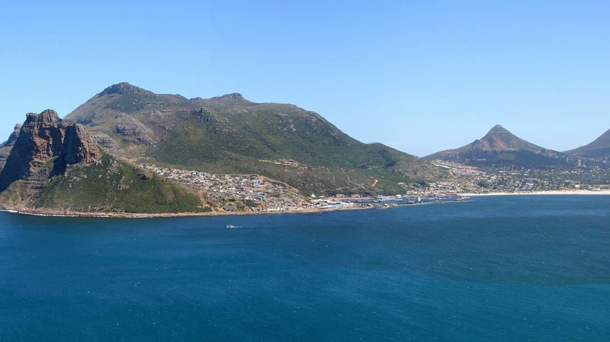
Hout Bay is a coastal valley on the Atlantic seaboard of the Cape Peninsula, one of the outlying parts of Cape Town in the Western Cape. Mountains ring it on three sides. A working fishing harbour occupies the western shore, sheltered by the blunt peak known as the Sentinel, while the bay itself opens west onto the Atlantic Ocean. Locals half-jokingly call the valley the Republic of Hout Bay.
About Hout Bay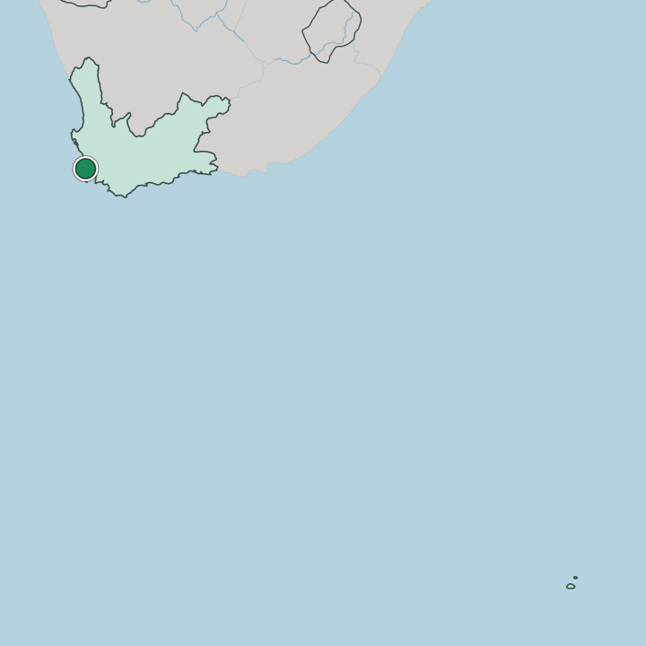
Where to stay in Hout Bay
The right area depends on your trip — here's what each neighbourhood is best for.
Staying in Hout Bay puts you in a self-contained seaside village rather than the middle of Cape Town, a half-hour drive from the city centre over Constantia Nek. Most beds are guesthouses and self-catering flats near the beach and along the valley floor, with a few larger places on the slopes above the harbour. The harbour sets the pace.
It suits travellers who want sea air, quiet nights and quick access to the Cape Peninsula's beaches and mountain trails, and it makes a natural base for driving Chapman's Peak Drive. Nightlife is thin, so anyone wanting a dense hotel district and late bars is better placed in the City Bowl or along the Atlantic Seaboard.
About Hout Bay
What are the main landmarks in Hout Bay?
The valley's sights are mostly outdoor ones. Boats leave the fishing harbour for Duiker Island, a rocky islet off the Sentinel where Cape fur seals haul out in the hundreds. Inland, the World of Birds Wildlife Sanctuary and Monkey Park keeps one of Africa's largest collections of aviaries in the valley below the mountains.
The small Hout Bay Museum, on the road up from the beach, traces the valley's forestry, fishing and mining past. Higher up the slopes stands Lichtenstein Castle, a private mock-medieval house that looks out over the bay, and beyond it the cliff run of Chapman's Peak Drive is a sight in its own right.
What is the history of Hout Bay?
Dutch settlers named the bay Houtbaai, meaning wood bay, after the forests the Dutch East India Company felled here for timber in the mid-seventeenth century. The first farms in the valley were granted in 1681, and for generations it stayed a remote farming and woodcutting outpost reached only by mountain track. Gun batteries later guarded the entrance.
Fishing slowly became the mainstay, and a harbour was cut into the western shore to land snoek and rock lobster. That harbour, and the forestry and mining history recorded in the Hout Bay Museum, still shape the character of the valley.
Where is Hout Bay?
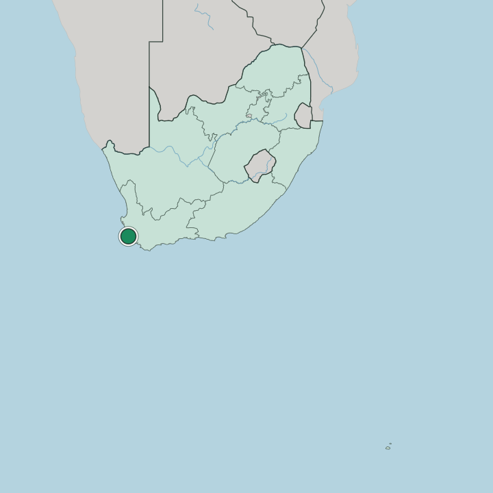
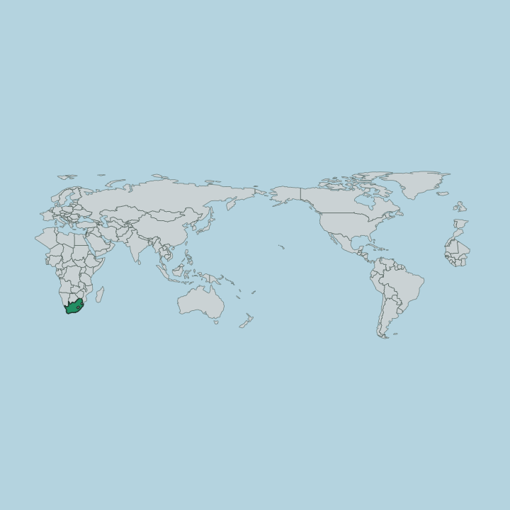
The valley sits in the far southwest of Cape Town, walled off from the city bowl by the Table Mountain range. Three passes are its only land links. Chapman's Peak Drive threads south along the cliffs toward Noordhoek; the road over Constantia Nek drops east into the Constantia valley; and the coast road north runs past Llandudno toward Camps Bay.
A broad beach lines the head of the bay, closed off at its western end by the harbour and the Sentinel.
More areas in Cape Town
Updated July 2026