Austria · Wien · Vienna
Pötzleinsdorf, Vienna — Area Guide & Where to Stay
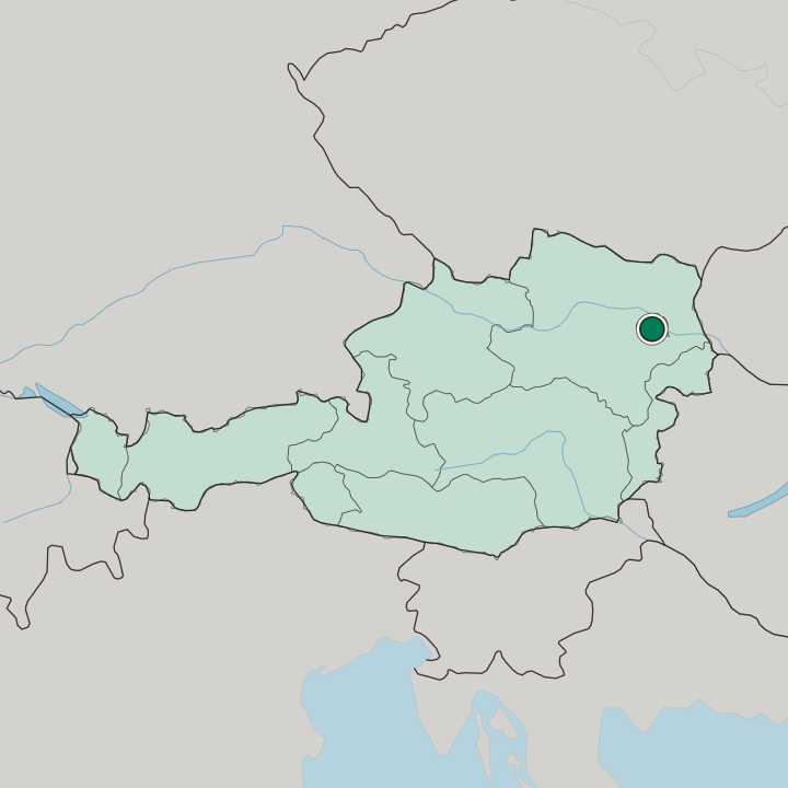
Pötzleinsdorf is a part of Währing, Vienna's 18th district, and one of the city's 89 Katastralgemeinden, with a small piece of it lying in Döbling.
Hotel links are affiliate links: booking through them may earn us a commission, at no extra cost to you. It never affects how places are ranked. How this works


Where to stay in Pötzleinsdorf
Where visitors usually base themselves, and why.
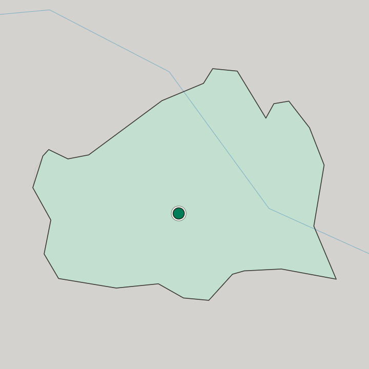
It straddles two districts. Most of Pötzleinsdorf, 222.12 hectares of it, lies in the west of the 18th district, and 34 hectares lie in the south of the 19th, where that piece goes by the name Glanzing. Woods and vineyards ring it. Neustift am Walde and Sievering adjoin to the north, Währing and Gersthof to the east, Dornbach to the south and Neuwaldegg to the west, which puts it against the Vienna Woods on two sides.
The statistical district is drawn differently.
About Pötzleinsdorf
What are the main landmarks in Pötzleinsdorf?
Boundaries here come in two versions that do not match. The Katastralgemeinde covers 256.12 hectares in all, and the statistical district of the same name is made of five Zählsprengel whose outline runs differently, so the answer to how big Pötzleinsdorf is depends on which register you open. Glanzing is the outlier.
That is the name for the part lying in the 19th district, which is administratively Döbling rather than Währing. The Vienna Woods edge is the setting. Neustift am Walde, Sievering and Neuwaldegg are wooded on their far sides, which is what gives the quarter its character.
What is the history of Pötzleinsdorf?
Pötzleinsdorf is one of the old village cores Vienna absorbed. It is counted among the 89 Katastralgemeinden of the city, which is the register that records those villages, and it kept its own name and outline through the absorption. The 18th district took most of it.
Währing holds 222.12 hectares of the Katastralgemeinde in its western part, which is where the village centre lies. Döbling took the remainder. Another 34 hectares fell into the 19th district in the south, and that piece has carried the separate name Glanzing since.
Registers disagree about the rest. The Katastralgemeinde adds up to 256.12 hectares while the statistical district of the same name is built from five Zählsprengel on a different outline, which is the kind of double bookkeeping a village leaves behind when a city grows over it.
Where is Pötzleinsdorf?
Pötzleinsdorf covers 256.12 hectares across Währing and Döbling in western Vienna, bordering Neustift am Walde and Sievering to the north, Gersthof to the east, Dornbach to the south and Neuwaldegg to the west.
More areas in Vienna
Updated September 2026