Where to stay in Ähtäri
The right area depends on your trip. Here's who each one suits — pick the place, then the hotel.
Most visitors to Ähtäri base themselves near the lakeside centre, where hotels and guesthouses sit within reach of Ähtärin kirkko and the shops of the town. This base suits you if you want an easy walk to the centre and a short drive out to the forest and the water that ring the town across South Ostrobothnia. The lake is close at hand.
Beds run thinnest in deep winter and fill again across the bright Ostrobothnian summer, when walkers and anglers come for the woods and the long northern light. Beyond the centre the town spreads into forest and shore. Cottages and self-catering cabins stand among the lakes and timber of Ähtäri, a calm setting for travellers who want quiet over the small bustle of the centre.
A car helps out here. Those after a wider choice of hotels often stay in nearby Seinäjoki and drive the road south-east to Ähtäri for the lakes, the art of Pirkanpohjan taidekeskus, and the railway heritage of Myllymäen rautatieasema.
Things to do in Ähtäri
Ranked by global recognition; descriptions from Wikidata (CC0).
Museums & Galleries
1- Pirkanpohjan taidekeskus
Churches & Religious Sites
3- Ähtärin kirkko
- Ähtärin helluntaiseurakunta
- Honkiniemen kirkko
Nature & Outdoors
1- Ruumissaari Heritage
Landmarks & Notable Places
1- Tuomarniemen metsäoppilaitoksen johtajan asuinrakennus Heritage house
worth knowingacross 4 categories in Ähtäri
About Ähtäri
What is Ähtäri known for?
Ähtäri is known as a forest and lake town of South Ostrobothnia. The old mill works of Inhan tehtaat and the railway heritage of Myllymäen rautatieasema speak to its working past, while Tuomarniemen metsäoppilaitos trained foresters for the surrounding woods. Forest runs deep here.
The art of Pirkanpohjan taidekeskus and the spire of Ähtärin kirkko give the lakeside town its quieter face, south-east of Seinäjoki across the timbered country of the region.
What are the main landmarks in Ähtäri?
Ähtäri keeps a strong run of heritage sites. The wooden station of Myllymäen rautatieasema and the smaller Inhan rautatieasema mark the old rail line, while Inhan tehtaat and the board mill of Vääräkosken kartonkitehdas recall the industry that worked the forest. Heritage stands all around.
Tuomarniemen metsäoppilaitos still teaches forestry, the art of Pirkanpohjan taidekeskus draws visitors, and Ähtärin kirkko anchors the town in South Ostrobothnia.
What is the history of Ähtäri?
Ähtäri took shape as a forest parish on the lakes of South Ostrobothnia, and was chartered in the 19th century, in 1867. Its early wealth came from the woods and water around it, worked at sites such as Inhan tehtaat and the board mill of Vääräkosken kartonkitehdas. Timber built the town.
The forest schooling of Tuomarniemen metsäoppilaitos grew from the same root, training the foresters who managed the timbered country of the region. Then the railway bound Ähtäri to the wider land. The stations of Myllymäen rautatieasema and Inhan rautatieasema, both now heritage sites, opened the lake town to trade and travel, and the line drew people and goods across the woods.
Rail reshaped the place. Around the older core, Ähtärin kirkko held the parish together while the mills and the line carried the town through its working century in South Ostrobothnia.
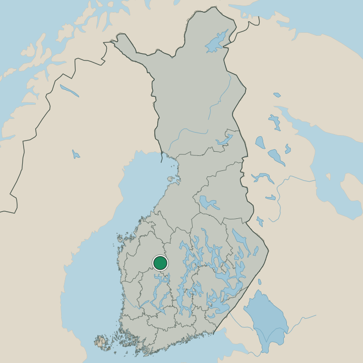
Where is Ähtäri?
Ähtäri lies among lakes and forest in South Ostrobothnia, in western Finland. Water threads through the town across a broad area of lake and timber, set in the wooded country south-east of Seinäjoki where the Ostrobothnian plain gives way to higher, watered ground. Lakes break up the land.
The shores and woods of Ähtäri ring the small centre, and the town sits well inland from the coast of the region.
What is the climate of Ähtäri?
Ähtäri has the cold, snowy winters of inland South Ostrobothnia. Ice locks the lakes around the town from early in the year and holds through the long dark months, while frost settles deep in the surrounding forest. Winters are hard and white.
The short summer turns warm and bright over Ähtäri, and the long northern days open the lakes and woods to walkers and anglers across the region south-east of Seinäjoki.
How do you get to Ähtäri?
Most travellers reach Ähtäri by road. The town lies south-east of Seinäjoki in South Ostrobothnia, and a car carries you in across the wooded country to the lakeside centre and on to the shores beyond. Forest lines the route.
An old rail line still threads the town at the heritage stations of Myllymäen rautatieasema and Inhan rautatieasema, a reminder of the track that once carried most of the traffic to Ähtäri.
Where Ähtäri sits
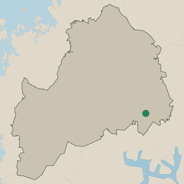
Boundaries © geoBoundaries (CC BY) & Wikidata (CC0); water & neighbours: Natural Earth.