United Kingdom · England · Manchester
Castlefield, Manchester — Area Guide & Where to Stay


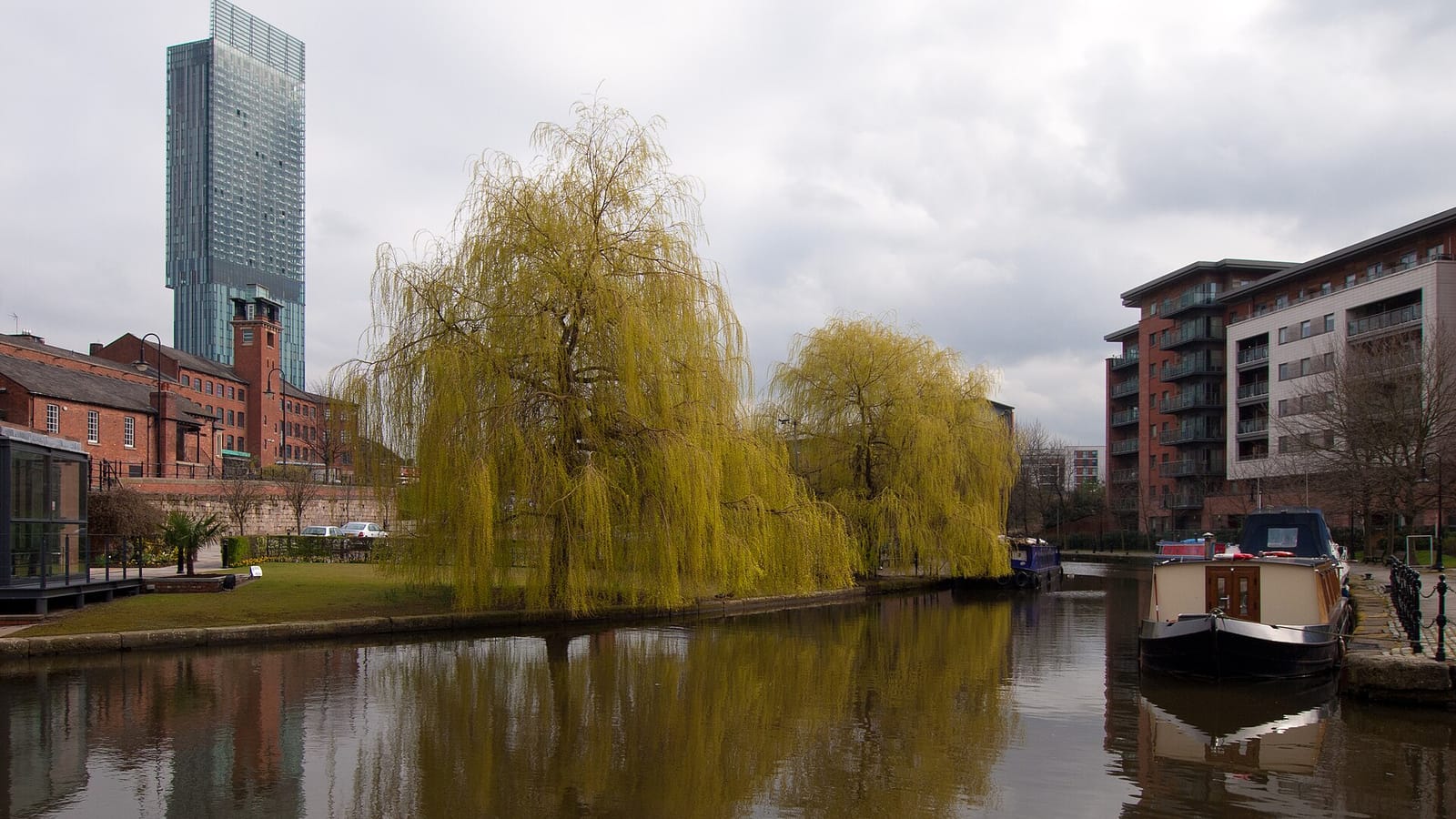
Castlefield sits at the south-western edge of central Manchester, an inner-city conservation area wrapped by the River Irwell and Chester Road. The canals define it. It grew up around the terminus of the Bridgewater Canal, and its restored basin of locks, towpaths and brick warehouses draws most visitors. The Roman fort of Mamucium once stood here, and that fort gave Manchester its name.
About Castlefield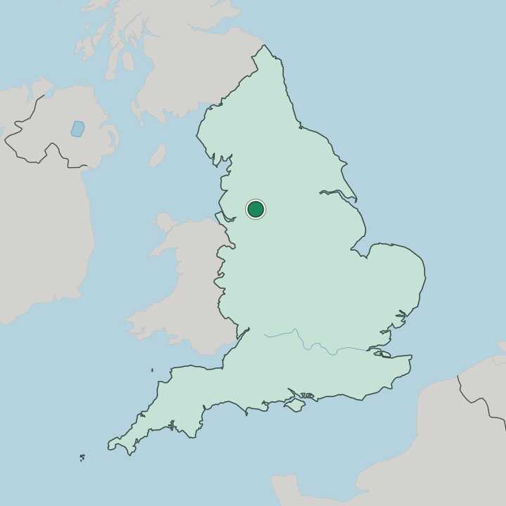
Where to stay in Castlefield
Where you base yourself shapes the visit — here's the character of each area.
Staying in Castlefield means canal-side calm within a short walk of the city centre. The basin's converted warehouses now hold apartments, aparthotels and a handful of bars, so evenings here run quieter than in the Northern Quarter across town. It suits sightseers.
The Science and Industry Museum sits on the doorstep, and the towpaths of the Bridgewater Canal lead straight back into the centre along Deansgate. Beds are fewer than in the central core, so visitors who want a wide choice of large hotels often stay closer to the centre and come to Castlefield for the water and the evenings out.
About Castlefield
What are the main landmarks in Castlefield?
The reconstructed Roman fort of Mamucium is Castlefield's oldest sight, its rebuilt gateway and stretch of wall marking where Manchester began. A few steps away, the Science and Industry Museum spreads across the site of Liverpool Road railway station, the terminus of the world's first passenger railway. The canal basin is the other draw.
Here the Bridgewater Canal reaches its end among locks, iron footbridges and the oldest surviving canal warehouses. Together they make the district an open-air record of the city's industrial firsts.
What is the history of Castlefield?
Castlefield's story starts with the Romans, who built the fort of Mamucium here; the name they gave it became Manchester. The Bridgewater Canal, the world's first industrial canal, reached its terminus here in 1764, and the oldest canal warehouse opened in 1779. In 1830 the world's first passenger railway ended its line at Liverpool Road railway station, and the first railway warehouse rose beside it the next year.
Coal, cotton and cargo moved through the basin for a century. Then the wharves fell quiet.
Where is Castlefield?
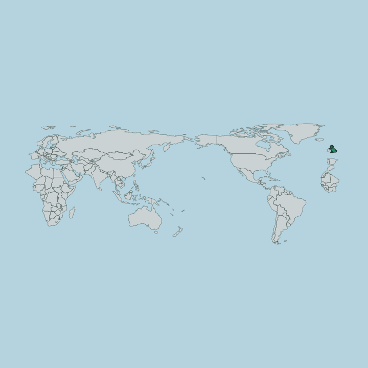
The conservation area is bounded by the River Irwell to the west, Quay Street to the north, Deansgate to the east and Chester Road to the south. Deansgate, the long spine of the city centre, forms its busiest edge. West of Quay Street the district merges into Petersfield, and the two locales are usually paired.
Railway viaducts stride across the basin overhead.
Good for
More areas in Manchester
Updated July 2026