United Kingdom · England · Manchester
Whalley Range, Manchester — Area Guide & Where to Stay


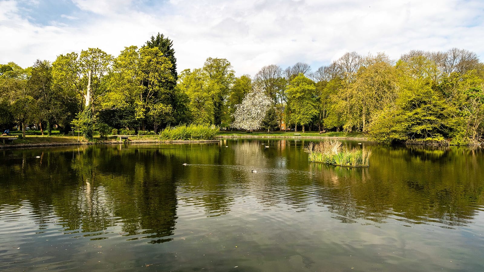
Whalley Range is a Victorian villa suburb of south Manchester. The banker Samuel Brooks laid it out from the 1830s as a middle-class enclave of large detached houses along tree-lined roads. Leafy streets still define it. Its best-known building is the British Muslim Heritage Centre, on College Road.
About Whalley Range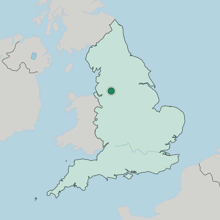
Where to stay in Whalley Range
Not every neighbourhood fits every trip — here's what each one is good for.
Whalley Range is mostly a residential district, so hotel beds here are scarce. Visitors who do stay find quiet Victorian streets, guest houses in the old villas, and a short bus ride up Withington Road into central Manchester. Quiet suits it more than nightlife.
The British Muslim Heritage Centre and its gardens sit within walking distance. For a wider choice of rooms, the city centre and nearby Chorlton hold far more.
About Whalley Range
What are the main landmarks in Whalley Range?
The suburb's one true landmark is the British Muslim Heritage Centre, which occupies the Victorian former Lancashire Independent College on College Road. Its chapel, hall and gardens survive intact. Otherwise the sights are the streets: long rows of stucco and brick villas built for Victorian merchants.
Many carry local heritage listing. The mature trees and set-back front gardens that Samuel Brooks planned still give the district its distinctive grain.
What is the history of Whalley Range?
Whalley Range was laid out in the 1830s by Samuel Brooks, a Manchester banker. He bought low mossland south of the city, drained it, and named the new estate after Whalley in Lancashire, near his birthplace. Merchants and manufacturers followed.
They built the large detached villas that made this one of Manchester's first planned middle-class suburbs. In later decades many of the big houses were divided into flats, though the Victorian street plan survived.
Where is Whalley Range?
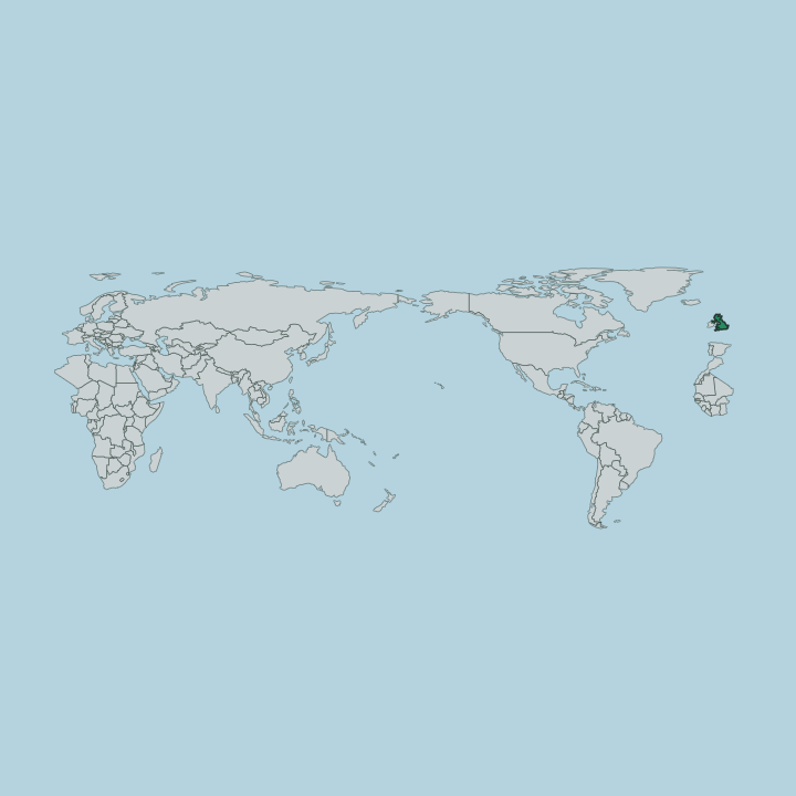
The suburb lies between Moss Side to the east and Chorlton-cum-Hardy to the south-west, with Old Trafford beyond its northern edge. Its main roads are Withington Road and Upper Chorlton Road, which meet the older streets at Brooks's Bar, the junction named for the district's founder. Wilbraham Road runs west toward Chorlton.
The core is a quiet lattice of villa-lined avenues rather than a high street.
Good for
More areas in Manchester
Updated July 2026