Poland · Masovian Voivodeship · Warsaw
Młociny, Warsaw — Area Guide & Where to Stay
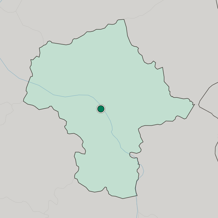
Młociny is the north corner of Bielany in Warsaw, a wedge of the Vistula's left bank ending at gmina Łomianki. It was the seat of gmina Młociny until 1951.
Hotel links are affiliate links: booking through them may earn us a commission, at no extra cost to you. It never affects how places are ranked. How this works


Where to stay in Młociny
Where visitors usually base themselves, and why.
Młociny holds almost no commercial beds, so the real choice here is between quiet and connection. The southern third, the old garden-city plots of Miasto Ogród Młociny along Trylogii, Wóycickiego and Michaliny, is low villas and university buildings beside the UKSW campus, with Park Młociński a walk to the north. The connected option comes with a warning worth reading twice: Młociny metro station, the northern terminus of line M1 and the largest transfer node in the city, is not in Młociny.
It sits about 2.3 km south, in the Huta area, beside the steelworks. The terminus opened in October 2008. A park-and-ride for about 900 cars and the regional bus loops feed it, and ulica Pułkowa runs the same corridor north for anyone driving in from Łomianki.
Find hotels in Młociny
Direct booking searches for these neighbourhoods.
Miasto Ogród Młociny
The southern third of Młociny, laid out from 1912 as a garden city on the triangle between Wóycickiego, Trylogii and Michaliny, with Park Młociński and Dęby Młocińskie on either side and almost no hotel stock. Rooms are few around here — worth securing early.Find hotels in Miasto Ogród Młocinytravellers who want the M1 terminus and the park-and-ride on the doorstepMetro Młociny interchange
Warsaw's largest transfer node, but it stands about 2.3 km south of Młociny in the Huta area, so this is a base near the district rather than inside it. Lodging is scarce in this area; reserve in advance.Find hotels in Metro Młociny interchangeHotel links are affiliate links: booking through them may earn us a commission, at no extra cost to you. It never affects how places are ranked. How this works
About Młociny
What are the main landmarks in Młociny?
Brühl Palace at Młociny sits on the Vistula escarpment at ulica Muzealna 1, raised between 1752 and 1758 for Heinrich von Brühl to a design by Johann Friedrich Knöbel and nicknamed the Wilanów of the North. Szymon Bogumił Zug remodelled it in 1786 for Alois Friedrich von Brühl, and the front portico still carries six Tuscan columns under the family arms. Ulica Muzealna was named for its tenant.
The palace held the Museum of Folk Cultures after the restoration of 1947 to 1949, and that collection became the National Museum of Ethnography and left for ulica Kredytowa in 1973. Dęby Młocińskie, protected since 1 July 2002, keeps 9.26 hectares of monumental pedunculate oaks with hornbeam and chestnut alleys planted by the last owner before the First World War; a memorial on ulica Michaliny commemorates the Home Army soldiers killed attacking the Bielany airfield in August 1944. The seminary church of Our Lady Queen of Poland at ulica Heroldów 12 belongs to the Redemptoris Mater missionary seminary.
What is the history of Młociny?
The village enters the record in the fourteenth century as Młoszczyny, a ducal settlement in the Puszcza Młocińska whose name came from młaka, a wet meadow, and by 1580 it was a royal village in the Warsaw county of Mazovia. A royal menagerie was fenced out of that forest in the sixteenth century, and Augustus II hunted in it. General Alois Friedrich von Brühl founded a powder and cannonball works, the Prochownia, on the estate later in the eighteenth century.
The city magistrate bought roughly 110 hectares of woodland in 1907 for a public park, and in 1912 Władysław Ołtuszewski helped buy more than sixteen hectares of waste ground from the Młociny estate for a garden city on the model Ebenezer Howard had published; the Miasto-Ogród-Gaj cooperative drew up its building plan between 1936 and 1939. Bielany airfield was cut in 1938 between Wrzeciono and Młociny. On 3 and 4 May 1944 the Osjan unit of Kedyw destroyed five Junkers Ju 52 transports there.
Warsaw absorbed Młociny in 1951. The blocks of the present estate went up between 1961 and 1967.
Where is Młociny?
Młociny drops from the Warsaw escarpment to the Vistula floodplain at the city's northern edge, and the ground is wooded rather than built for most of its width. Białołęka faces it across the river, while Wrzeciono and Wólka Węglowa press on the southern and western sides. Park Młociński, the municipal forest also called Las Młociny, fills the north between ulica Papirusów, ulica Pułkowa, ulica Dziwożony and the bank itself, and falls inside the buffer zone of Kampinos National Park. Kanał Młociński cuts through it.
Pine, oak, alder and ash make up the stands, and elk and boar come in from the Kampinos Forest. Stawy Młocińskie lie east of the estate blocks.
Common questions
What is the best area to stay in Młociny?
Miasto Ogród Młociny: a quiet base among the garden-city villas beside the UKSW campus. Metro Młociny interchange: travellers who want the M1 terminus and the park-and-ride on the doorstep.
More areas in Warsaw
Updated October 2026