Sweden · Gävleborg County
Where to Stay in Söderhamn, Gävleborg County


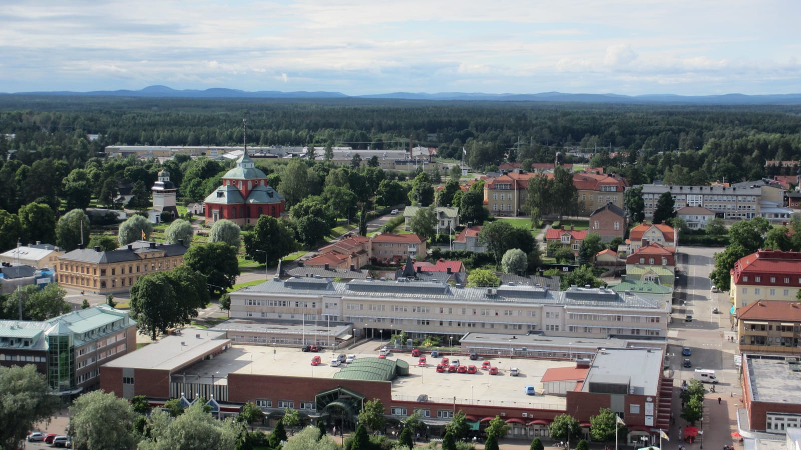
Söderhamn is a coastal town in the north-eastern part of Gävleborg County, set where a river valley opens onto the Bothnian Sea in Hälsingland.
Find your area →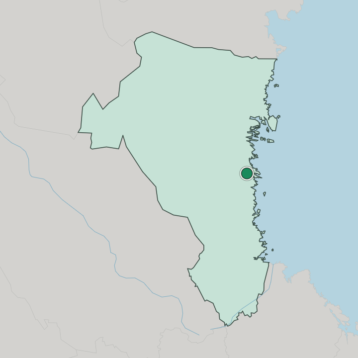
Where to stay in Söderhamn
Each area has its own feel; here's who each one suits.
Most visitors stay in the town centre, the grid of streets along the canalised river where the hotels, the shops, and the services sit within an easy walk of the harbour and the station. It suits anyone arriving by train who wants to explore on foot. Rooms run from town hotels to small guesthouses.
Beds can tighten in the short summer season, so book ahead if you travel then. Out toward the coast and the archipelago, cottages, marinas, and a campsite give a greener base for travellers with a car who want islands and open water over a town address. Around the Ulrika Eleonora kyrka and the old streets, the centre keeps a settled, historic feel close to the river.
The recreation area at Hällåsen offers trails and a bathing spot a short way out. Stay central first. The islands reward a boat and a clear day.
Things to do in Söderhamn
Ranked by global recognition; descriptions from Wikidata (CC0).
Museums & Galleries
1- Fiskaremuseet Gäddan working life museum
Churches & Religious Sites
3- Ulrika Eleonora kyrka Heritage
- Stugsunds kyrka Heritage
- Vågbrokyrkan Heritage
Castles & Historic Sites
1- Faxeholm Heritage
Stadiums & Sports
2- Hällåsen
- Faxevallen
worth knowingacross 4 categories in Söderhamn
About Söderhamn
Söderhamn began as a weapons town.
What is Söderhamn known for?
The crown founded it to supply muskets to the navy and army, and that arms-making past still colours the town's identity and its place in Swedish history. A wooden hilltop tower, Söderhamns oscarsborg, gives sweeping views over the harbour and the coastal islands. The town sits among a wide archipelago.
Air-force history lingers here too, from the long-running fighter wing once based nearby.
What are the main landmarks in Söderhamn?
Ulrika Eleonora kyrka anchors the old centre. Its bell tower and the church beside it have stood through fires and rebuilding to remain the town's clearest historic landmark, a fixed point above the canal and the harbour streets. The medieval site of Faxeholm castle marks the district's much older seat of power, the fortified base from which the crown once held this stretch of coast.
Parish churches ring the town. Among them stand Stugsund and Norrtull, while Hällåsen and the islands draw walkers and boaters out of the centre.
What is the history of Söderhamn?
Söderhamn was chartered in 1620 by King Gustav II Adolf as a weapons town. The crown set up a musket factory here to arm its forces, and the new town grew around that royal industry on a sheltered inlet of the Bothnian coast, well before the harbour silted and the shoreline crept outward over the centuries. War shaped its early life.
Russian raids burned the town during the Great Northern War. Later the timber trade took over. Sawmills and shipping along the river and the coast carried Söderhamn into the industrial age, and the rebuilt centre, fires and all, settled into the form it keeps.
The medieval Faxeholm recalls an even older power. The town later hosted a fighter wing of the Swedish air force for many decades.
Where is Söderhamn?
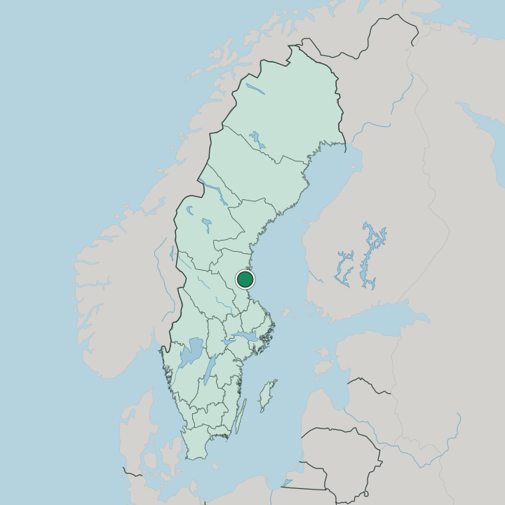
Söderhamn lies in the north-eastern part of Gävleborg County, set where the Söderhamnsån reaches the Bothnian Sea on the Hälsingland coast. The town sits along the canalised river and the inner harbour, with low wooded hills behind and a broad archipelago of islands, skerries, and inlets spread out to the east. Water threads through bays and skerries everywhere here.
Forest and farmland fill the hinterland, while the coast breaks into countless bays and channels beyond the last streets. It is a town facing the water.
What is the climate of Söderhamn?
Söderhamn has a humid continental climate, eased a little by the Bothnian Sea. Winters are long and cold, with snow and often sea ice along the sheltered inlets from December into early spring. Summers stay mild and bright, and around midsummer the northern daylight lingers so late that the harbour and the islands barely darken before the short night turns again to dawn.
Spring comes slowly. Autumn brings grey skies and Baltic winds.
How do you get to Söderhamn?
Söderhamn sits on the East Coast Line, the main railway up the Bothnian coast. Trains link it south toward Gävle and Stockholm and north toward Hudiksvall and Sundsvall, with regional services threading the smaller coastal towns. The E4 motorway runs close by.
Drivers reach Gävle in around an hour, and a former military airfield nearby once served the town, though the nearest scheduled flights now go from the larger coastal cities. Buses cover the islands and parishes.
Good for
More cities in Gävleborg County
Updated July 2026