Ukraine
Khmelnytskyi Oblast, Ukraine — Towns & Travel Guide


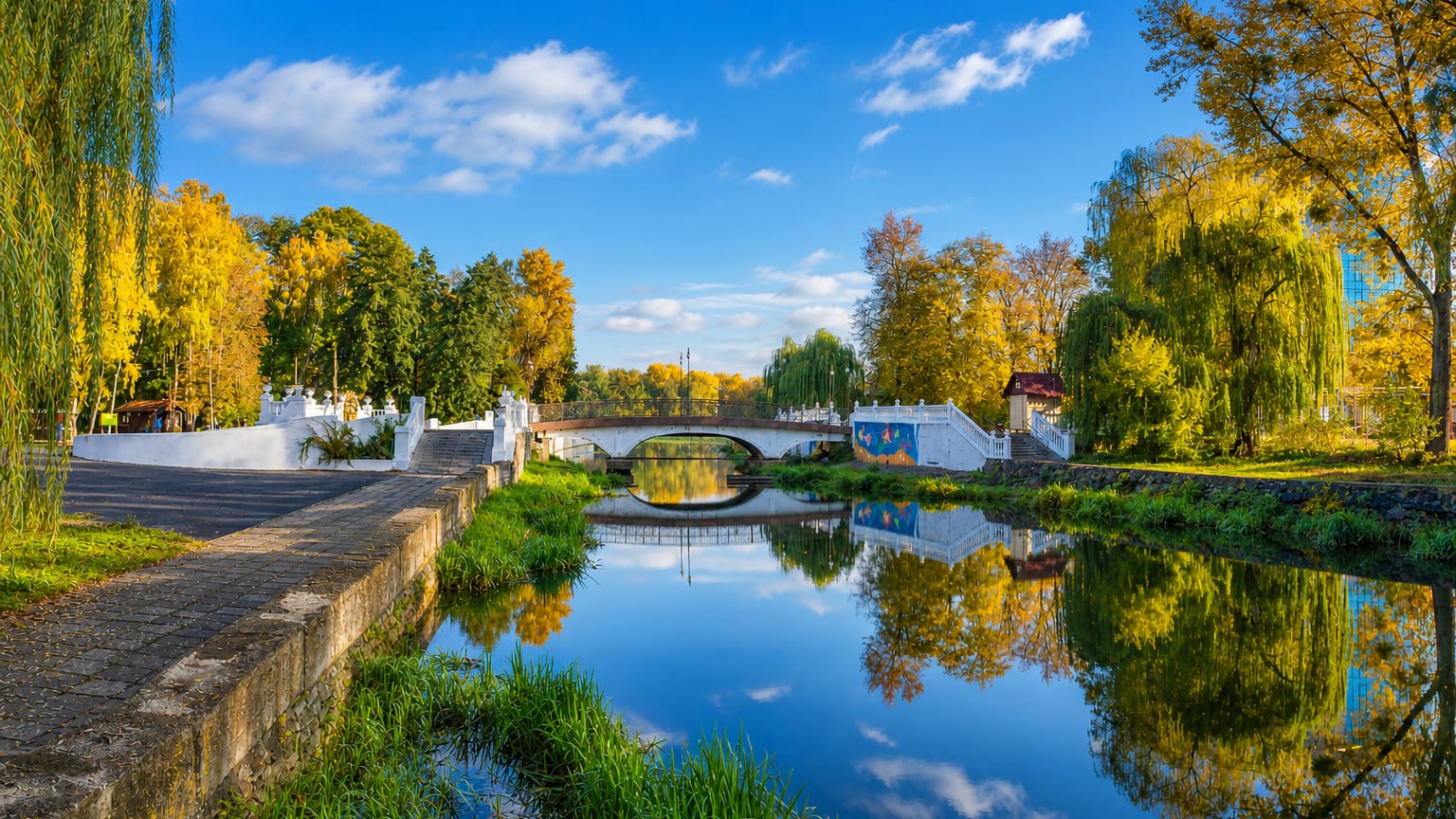
Khmelnytskyi Oblast spreads across the Podolian Upland of western Ukraine, castle country split between Volhynia and Podolia.
Find your area →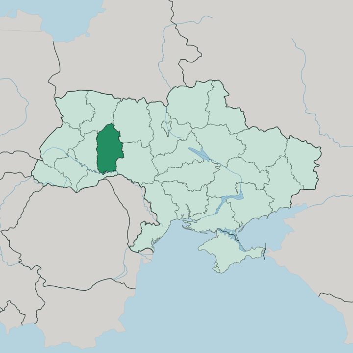
Towns & cities in Khmelnytskyi Oblast
Pick a town or city — each links to where to stay.
 Ukraine
Khmelnytskyi
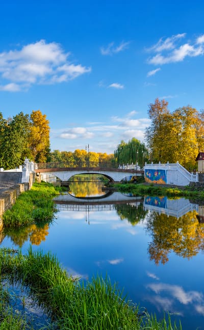
The Southern Bug runs through Khmelnytskyi, a city in the Podillia region of western Ukraine and the seat of Khmelnytskyi Oblast, founded in 1431.Where to stay →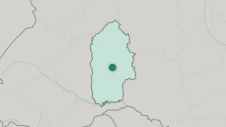
 Ukraine
Kamyanets-Podilskyi
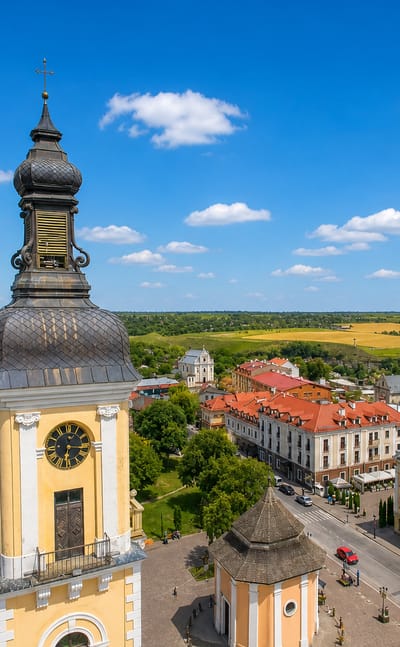
The Smotrych River loops around the old town of Kamianets-Podilskyi, a historic city in western Ukraine known for its clifftop castle.Where to stay →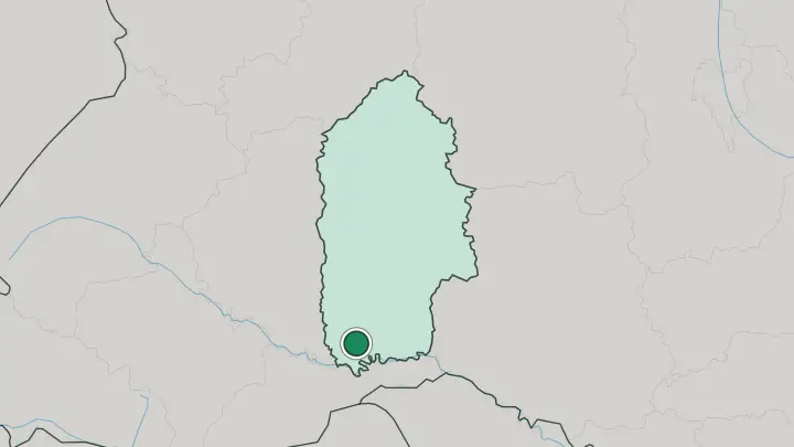
About Khmelnytskyi Oblast
Fortresses define it.
What is Khmelnytskyi Oblast known for?
The oblast holds Podolia's densest run of medieval strongholds, and Kamianets-Podilskyi is the reason most travellers come. Its castle sits on a rock island wrapped almost entirely by a loop of the Smotrych River, and the old town it guards carries a UNESCO listing and more than 150 architectural monuments. North of there, the fortress at Medzhybizh stands where the Southern Bug meets the Buzhok, and its grounds hold the tomb of the Baal Shem Tov, drawing Hasidic pilgrims each year.
Where is Khmelnytskyi Oblast?
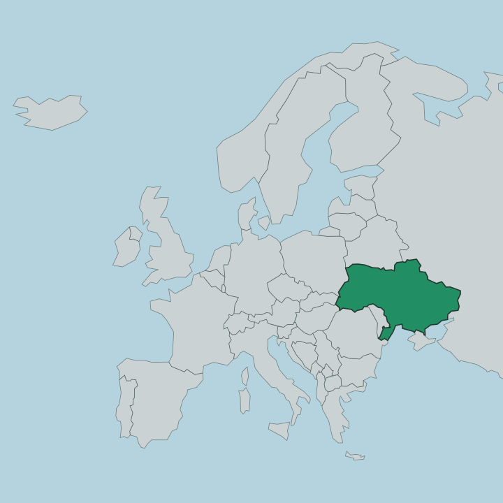
Khmelnytskyi Oblast lies in western Ukraine, drawn out long from north to south across the Podolian Upland. The land is a dissected plateau of rolling hills, steep ravines and river valleys, rising to low uplands and falling away into the gorges the rivers have cut. The territory splits almost in half.
Its northern reach belongs to Volhynia, a lower, more forested country, while the south is Podolia proper, and the two halves give the oblast its double character. The Southern Bug runs for some 120 km inside the borders, gathering tributaries like the Buzhok on its way. In the far south the Smotrych, a tributary of the Dniester, carves the deep canyon that loops around Kamianets-Podilskyi.
Elevations are modest. Most of the plateau sits a few hundred metres up, and the drama comes from the valleys rather than the peaks. Ternopil Oblast borders it to the west and Vinnytsia Oblast to the east, with Rivne and Zhytomyr along the north and Chernivtsi to the south.
Around Kamianets-Podilskyi the limestone ridges of the Podilski Tovtry National Park run across the land, a fossil reef turned into low wooded hills. It is a landscape of water and stone more than of height.
What is Khmelnytskyi Oblast like?
Podolia is border country, and its culture carries every hand that ruled it. Polish nobles, the Ottomans, the Russian Empire and the Soviet state each left a mark on the towns of the south, and Kamianets-Podilskyi wears the whole sequence in its churches, its Turkish minaret beside a cathedral, and its Armenian and Ruthenian quarters. This was a frontier of faiths.
The oblast holds one of the deepest strands in Jewish religious history, for the shtetl of Medzhybizh is where the Baal Shem Tov settled around 1740 and taught the ideas that grew into Hasidic Judaism. Each spring, before Shavuot, pilgrims come to his tomb by the fortress. The living culture is Ukrainian, in language and in the folk traditions of Podolia, its embroidery, its songs and its food.
Kamianets-Podilskyi leans into that heritage with ethnographic, historical and music festivals through the year. The capital at Khmelnytskyi is the workaday counterweight, a rail-and-market city rather than a museum town. Faith and fortress run through all of it.
Few regions this size hold so many layers of belief in stone.
What is the history of Khmelnytskyi Oblast?
The oblast is younger than the land it covers. Soviet authorities created it in 1937 as Kamianets-Podilskyi Oblast, carving it from border districts of Vinnytsia Oblast. Its centre moved to Proskuriv in 1941, and in 1954 that city was renamed Khmelnytskyi after the Cossack leader Bohdan Khmelnytskyi, with the oblast taking the same name soon after.
The ground beneath is far older. Kamianets-Podilskyi appears in an Armenian chronicle from the 11th century, and for a spell in 1919 and 1920 it even served as the temporary capital of the short-lived Ukrainian People's Republic. Old strongholds, a modern name.
What is the climate of Khmelnytskyi Oblast?
The climate is moderately continental, the ordinary rhythm of inland Podolia. Summers are warm, with July averaging around 20 to 22 degrees on the plateau, while January settles below freezing across the whole oblast. Snow lies over the Podolian Upland through the cold months.
This is plateau country. Rain falls mainly in the warmer half of the year, greening the forest-steppe and feeding the Southern Bug and the Smotrych. The shoulder seasons over Podolia are brief and unsettled.
There is no sea to soften the edges here, so winters bite and summers can turn hot.
How do you get to Khmelnytskyi Oblast?
Most arrivals come by rail. Khmelnytskyi sits on the main line and is the region's transport hub, tied to Kyiv and the wider Ukrainian network by train and long-distance bus. Reaching Kamianets-Podilskyi in the south takes a further leg, a slow branch train or a bus of a few hours from the capital.
There is no working passenger airport in the oblast, so onward travel is overland. Distances are short but the roads are rural. Trains and buses do the heavy lifting between the capital and the castle towns.
Common questions
What is the best area to stay in Khmelnytskyi Oblast?
Khmelnytskyi: a base on the Southern Bug.
Good for
Updated July 2026