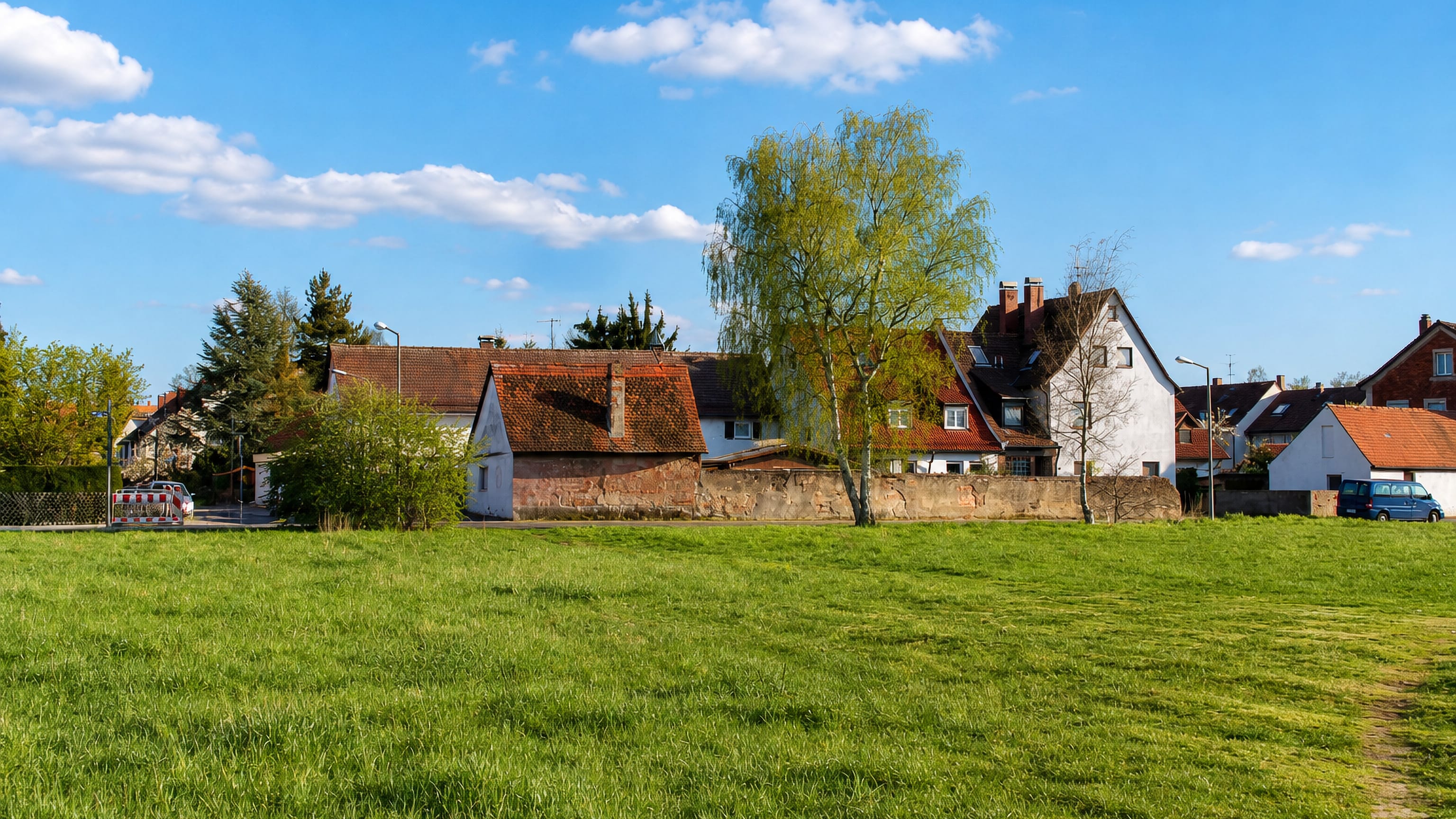
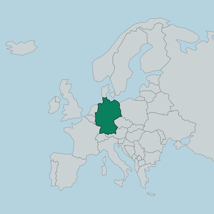
Germany · Bavaria · Nuremberg
Ziegelstein, Nuremberg — Area Guide & Where to Stay
Ziegelstein is a Stadtteil northeast of the Nuremberg centre, first written down in 1370 as Zygelstein, named for the town brickworks it grew beside.
Hotel links are affiliate links: booking through them may earn us a commission, at no extra cost to you. It never affects how places are ranked. How this works


Where to stay in Ziegelstein
Where the beds are, and what that means for the visit.
The airport is the nearest landmark of any size. Ziegelstein lies immediately southeast of it, with Buchenbühl to the north, Schafhof to the southeast, Loher Moos and Herrnhütte to the south and southwest, and Marienberg and Mooshof to the west. A stream crosses the whole of it.
The Hirschsprunggraben runs east to west through the Gemarkung, which covers 9.77 square kilometres and holds the Stadtteile Buchenbühl, Loher Moos and Ziegelstein between them. This is suburb rather than destination.
About Ziegelstein
What are the main landmarks in Ziegelstein?
One castle stands and one does not. The Nuremberg patrician family Haller held a castle here that was destroyed in 1642 and never rebuilt, and the Imhoff castle survives, though American soldiers destroyed its tower in the Second World War and later modernising badly disfigured the building. The village name came off the castle.
In the 15th century the name Ziegelstein passed from the castle to the whole settlement, which was destroyed in both Margrave wars and again in the Thirty Years War. War came back in the 20th century. Weapons were made during the Second World War on the ground east of Ziegelstein that is now the Nordostpark technology park, the factories were bombed toward the end of it, and the craters some of those bombs left in the Reichswald to the east are still there.
What is the history of Ziegelstein?
It began beside a brickworks. The place grew next to a municipal Ziegelhütte and appears in writing as Zygelstein in 1370, and it was destroyed in the Second Margrave War. Ownership passed along a line of Nuremberg families.
The Haller held it with their castle until 1642, the Schlüsselfelder took it in 1647, and the Imhoff held it from 1666 until 1848, exercising manorial rights over every property while the imperial city of Nuremberg claimed the high court and Brandenburg-Bayreuth disputed the claim. Late in the 18th century it was twenty-eight properties. A castle, an inn, a brickworks, a herdsman's house, a schoolhouse, eleven farms, seven smallholdings, five houses and two brandy distilleries made up the whole of it.
Then the state kept moving it. Ziegelstein went to Prussia in 1796 and to the kingdom of Bavaria in 1810, was assigned to the Großreuth hinter der Veste tax district in 1813, became a rural commune of its own with Herrnhütte under the second communal edict of 1818, passed to the Landgericht Nürnberg in 1826 and the Bezirksamt Nürnberg in 1862, and covered 2.48 square kilometres by 1904. Nuremberg took it on 1 August 1920.
Where is Ziegelstein?
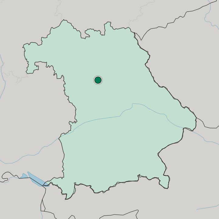
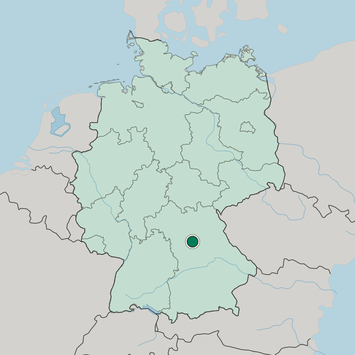
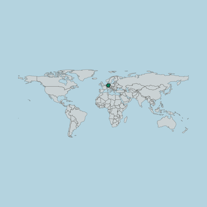
Ziegelstein lies northeast of the Nuremberg centre and immediately southeast of the airport, its Gemarkung covering 9.77 square kilometres and holding Buchenbühl and Loher Moos as well, with the Hirschsprunggraben running east to west through it.
Good for
More areas in Nuremberg
Updated October 2026