Where to stay in Karijoki
The right area depends on your trip. Here's who each one suits — pick the place, then the hotel.
Karijoki holds almost no beds of its own, a small farming municipality of South Ostrobothnia where a rented cottage or a farm room is the usual lodging rather than a hotel. The centre around the Karijoen kirkko suits visitors who want the church, the village shops and the Karijoen kotiseutumuseo within an easy walk, with the ridge of Paarmanninvuori close behind. It is the simplest base.
Out along the ridge and the forests below it, cabins and holiday cottages stand near the ski jumps of Paarmanninvuoren hyppyrimäet and the slopes of Susivuori, a quiet base for walkers in this corner of western Finland. Stock is thin everywhere. Travellers drawn to the cave of Susiluola often visit on a day trip, and many instead sleep in the larger towns of South Ostrobothnia and drive in to see the parish.
Book ahead in summer.
Things to do in Karijoki
Ranked by global recognition; descriptions from Wikidata (CC0).
Churches & Religious Sites
2- Karijoen kirkko Heritage
- Karijoen kirkko
Castles & Historic Sites
1- Susiluola Heritage prehistoric site in Kristinestad, Finland
Stadiums & Sports
1- Lähiliikuntapaikka, Karijoki Exercise place and outdoor gym of Karijoki school
Landmarks & Notable Places
10- Paarmanninvuoren hyppyrimäet
- Karijoen kirjasto public library
- Karijoen kotiseutumuseo Regional Museum
- Kivipuiston kota
- Liisan koulu Liisa's school
Show 5 more →
- Paarmanninvuoren kivipuisto
- Paarmanninvuori hill
- Susivuoren kota
- Susivuoren näkötorni
- Susivuori
worth knowingacross 4 categories in Karijoki
About Karijoki
What is Karijoki known for?
Karijoki is known as a small inland municipality of South Ostrobothnia, a farming parish gathered around the wooden Karijoen kirkko. The cave of Susiluola gives it fame. Diggings there have argued for some of the oldest human traces in northern Europe, the ski jumps of Paarmanninvuoren hyppyrimäet rise from the ridge above the village, and the Karijoen kotiseutumuseo keeps the local past in this corner of western Finland.
What are the main landmarks in Karijoki?
The Karijoen kirkko is the landmark of the village, the wooden parish church at the heart of Karijoki in South Ostrobothnia. A cave outshines it. The grotto of Susiluola, dug into the rock above the valley, is argued to hold traces of the oldest human dwelling in the north, while the ski jumps of Paarmanninvuoren hyppyrimäet and the ridge of Paarmanninvuori rise over the parish.
Local memory has a home too. The Karijoen kotiseutumuseo keeps the past, and the hill of Susivuori carries its watchtower above this corner of western Finland.
What is the history of Karijoki?
Karijoki begins far deeper than its village. The cave of Susiluola, cut into the rock above the valley, has been argued to hold traces of human shelter from a time before the last ice covered the north, making the parish a name in the long debate over the first people of Finland. The ground here is old.
In recorded time the place grew as a farming settlement of South Ostrobothnia, its households scattered across the fields and the forest below the ridge of Paarmanninvuori, and the community gathered around the Karijoen kirkko at the centre of the parish. The parish kept the marks of harder centuries. Memorials raised in the village recall the wars and the famine years that swept this corner of western Finland, and the local past was gathered into the Karijoen kotiseutumuseo for the generations that followed.
Sport came to the ridge too. The ski jumps of Paarmanninvuoren hyppyrimäet were cut into the slope above the church, and Karijoki settled into its long, quiet life as a small inland municipality of farmland, forest and rock in South Ostrobothnia.
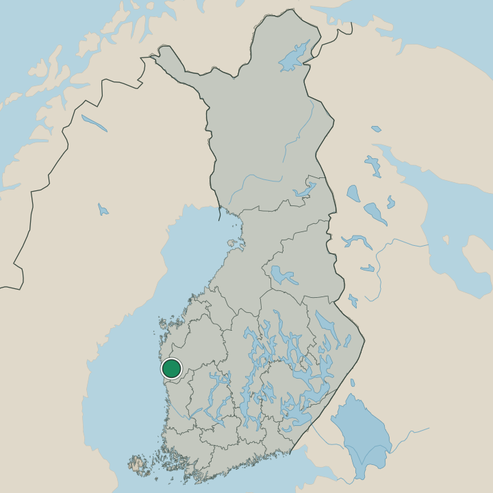
Where is Karijoki?
Karijoki lies in the farm-and-forest country of South Ostrobothnia, in western Finland. The ridge of Paarmanninvuori rises over the parish, the village centre gathered by the Karijoen kirkko on the lower ground while fields and pinewoods spread out around it. Rock breaks the plain.
The cave of Susiluola is cut into the hillside, the hill of Susivuori carries its tower above the woods, and the ski jumps of Paarmanninvuoren hyppyrimäet line the ridge over this corner of western Finland.
What is the climate of Karijoki?
Karijoki has the cold inland weather of South Ostrobothnia, its winters long and snowbound over the farms and the ridge of Paarmanninvuori. Snow lies deep for months. Summers run mild and short across the fields and the pinewoods around the Karijoen kirkko, the long northern light drawing out the warm season on the high ground, before the dark and the hard frost close back over this corner of western Finland.
How do you get to Karijoki?
Karijoki is reached by road through the farmland of western Finland, a village with no station of its own. Most arrive by car. The roads run from the larger towns of South Ostrobothnia, threading the fields and forests to the church centre by the Karijoen kirkko under the ridge of Paarmanninvuori.
Buses link it to the wider region, and from there the Finnish road network reaches across the inland country toward the cave of Susiluola and the rest of the parish.
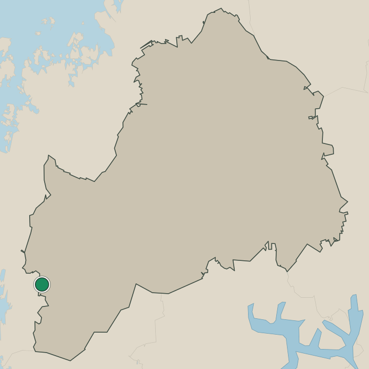
Where Karijoki sits
Boundaries © geoBoundaries (CC BY) & Wikidata (CC0); water & neighbours: Natural Earth.