India
Union Territory of Chandigarh, India — Towns & Travel Guide


Chandigarh is India's first planned city, a grid of numbered sectors laid out by Le Corbusier below the Shivalik foothills.
About Union Territory of Chandigarh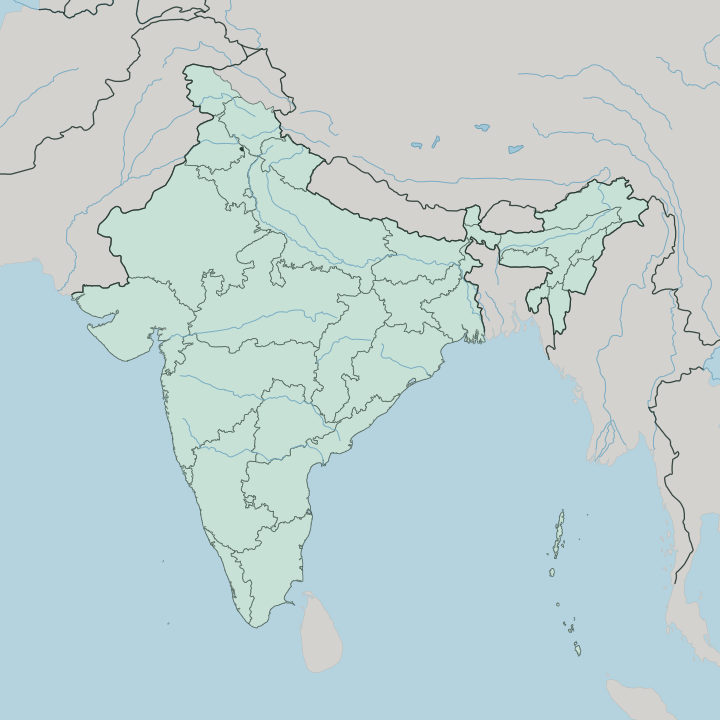
Towns & cities in Union Territory of Chandigarh
Pick a town or city — each links to where to stay.
 India
India
Chandigarh
Below the Shivalik foothills sits Chandigarh, India's first planned city and a union territory, laid out by Le Corbusier and known for its Rock Garden and…Where to stay →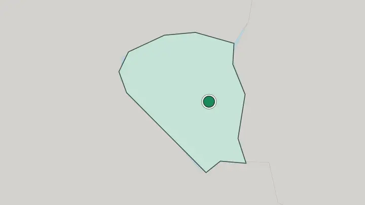
About Union Territory of Chandigarh
What is Union Territory of Chandigarh known for?
Chandigarh is the capital both Punjab and Haryana share, and a union territory of its own. It is known first for its plan. Le Corbusier drew the whole city as a grid of numbered sectors, each meant to hold its own shops, schools and homes within walking reach.
The concrete Capitol Complex he designed at the head of the grid now carries a UNESCO listing. Away from the government buildings, most people come for Sukhna Lake, the Rose Garden and Nek Chand's Rock Garden of scrap and stone.
Where is Union Territory of Chandigarh?
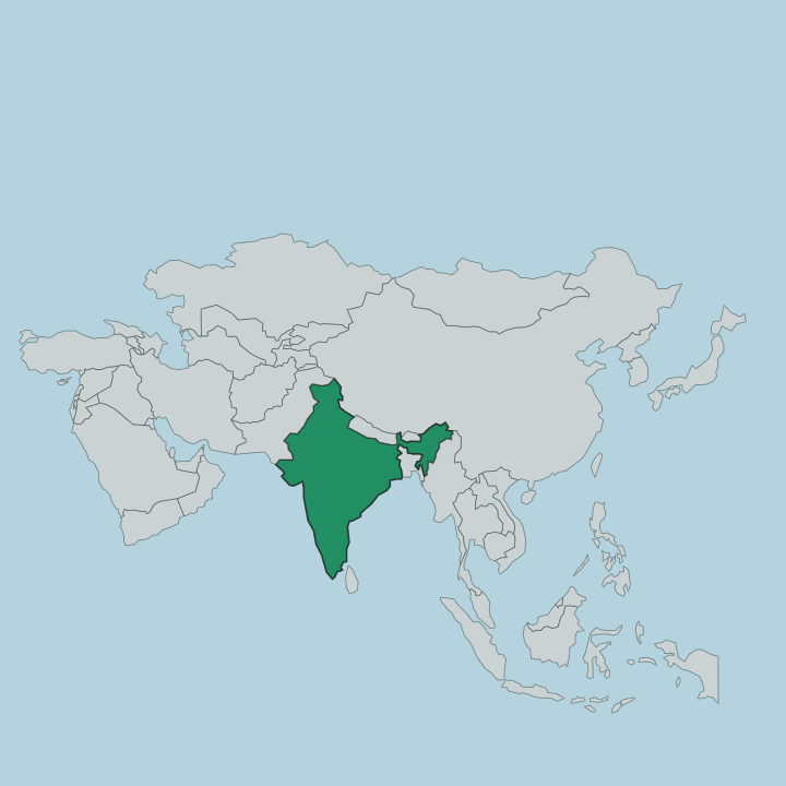
Chandigarh sits in northern India, at the point where the plains rise into the Shivalik foothills of the outer Himalayas. Chandigarh's territory is compact. The whole union territory is little more than the planned city and a thin margin of land around it.
Punjab wraps around it to the north, west and south, and Haryana bounds it to the east, so the territory is an island of federal ground pressed between the two states whose capital it serves. The land tilts gently down from the wooded hills in the north-east toward the plains in the south-west, and that slope was no accident of siting. Le Corbusier used it, letting rainwater and two seasonal streams drain the sectors without much engineering.
Those streams are the Sukhna Choe on the east and the Patiala-Ki-Rao Choe on the west, both dry for much of the year and full in the rains. Damming the first of them in the north-east created Sukhna Lake against the base of the hills. The Sivalik ridge closes the horizon there.
Behind that first ridge the land keeps rising toward Shimla and the greater Himalayas beyond. Everything in the territory is close together. You can cross the built city end to end in well under an hour.
What is Union Territory of Chandigarh like?
Chandigarh carries a double identity: a Punjabi city in its food, language and festivals, and a modernist experiment in its bones. The grid shapes daily life. People give directions by sector number, and each sector's market is its own small centre of shops, dhabas and evening crowds.
Punjabi and Hindi fill the streets, and the calendar runs on both, with Baisakhi in spring and the harvest bonfires of Lohri in the depth of winter. What the city exports best is design. Le Corbusier's raw concrete and the Open Hand monument at the Capitol Complex made Chandigarh a pilgrimage for architects the world over.
Right beside that austere modernism sits its opposite. Nek Chand, a road inspector, spent nearly two decades secretly building the Rock Garden from broken tiles, bangles and industrial waste, a folk-art labyrinth the planners never sanctioned. The Rose Garden adds another register again, thousands of bushes across dozens of acres, host each spring to a rose festival.
Order and improvisation share the same city. That tension is the real character of the place.
What is the history of Union Territory of Chandigarh?
Chandigarh was born of Partition. When British India split in 1947 and Lahore, the old provincial capital, passed to Pakistan, Indian Punjab needed a capital of its own. Jawaharlal Nehru wanted a wholly new one, unshadowed by the past.
The foundation stone was laid in 1952, and the government moved down from Shimla by 1953. Le Corbusier took over the master plan from earlier American and Polish architects and built the city that stands. When Punjab was split again along language lines in 1966, Chandigarh became a union territory and the shared capital of both new states.
The name is older than all of this, taken from the Chandi temple in the hills nearby.
What is the climate of Union Territory of Chandigarh?
Chandigarh runs through a sharp cycle of hot, wet and cool. Summers scorch. From April into June the plains bake under dry heat before the monsoon arrives, and July and August drop heavy rain that fills the choes and Sukhna Lake against the Shivalik hills.
Autumn clears the air, and winters turn genuinely cold for a city on the northern plains, with foggy mornings and nights that dip toward freezing. Spring and autumn are the kind seasons, which is when the roses bloom and the sectors are pleasant to walk.
How do you get to Union Territory of Chandigarh?
Most visitors come up from Delhi, a few hours south. The fastest way is the rail line: the Shatabdi Express runs the Delhi-Chandigarh-Kalka route in a morning or evening, and Chandigarh is where many break the journey before the narrow-gauge climb on to Shimla. Chandigarh's own airport handles domestic flights and some regional international ones.
The road up from Delhi is a straight, busy highway. Inside the territory everything is close, and taxis, autos and city buses reach every sector.
Good for
Updated July 2026