India
State of Haryāna, India — Towns & Travel Guide


Haryāna wraps around Delhi across the plains of northwestern India, holding Kurukshetra, the Yamuna, and the tech hub of Gurgaon.
About State of Haryāna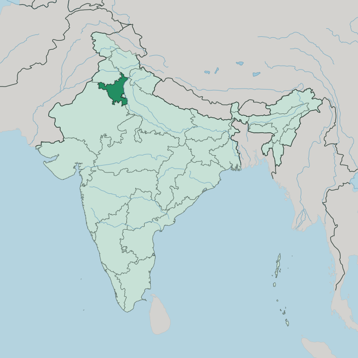
Towns & cities in State of Haryāna
Pick a town or city — each links to where to stay.
 India
India
Gurugram
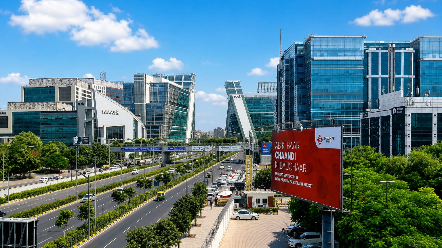
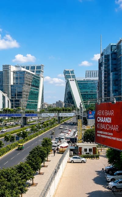
Glass office towers rise from the plains at Gurugram, a satellite city of Delhi in the State of Haryāna, long known as Gurgaon.Where to stay →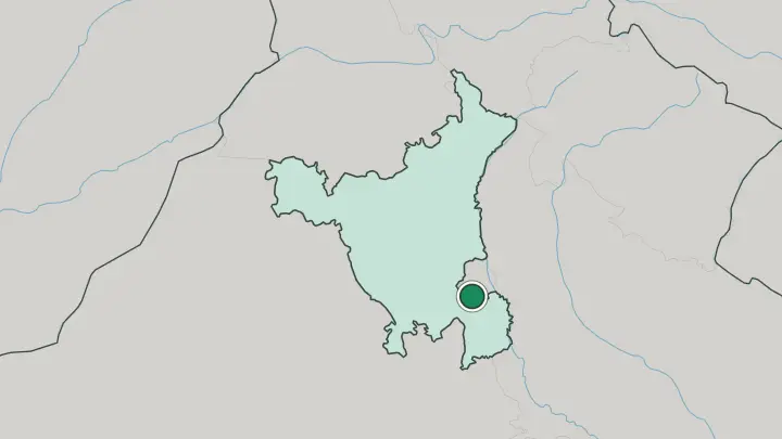
About State of Haryāna
What is State of Haryāna known for?
Haryāna is the wheat-and-wrestling plain that curls around Delhi on three sides. Two things pull travellers in. Gurgaon, on the southern edge, has grown into one of India's biggest finance and technology centres, a skyline of glass towers a short drive from the capital's airport.
The older draw sits to the north at Kurukshetra, the battlefield of the Mahābhārata, where Hindu pilgrims gather at the bathing tanks. Faridabad anchors the industrial belt, and the Yamuna traces the state's eastern edge.
Where is State of Haryāna?
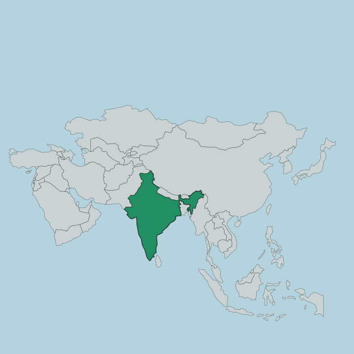
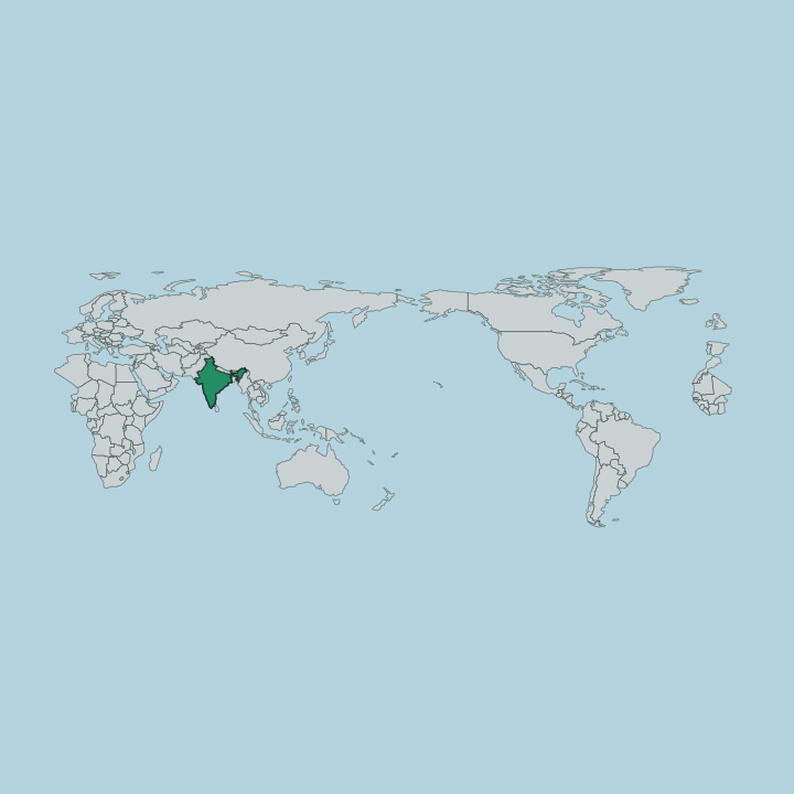
Haryāna sits in northwestern India, a wedge of flat plain that curves around Delhi on three sides. The land is overwhelmingly level. Most of the state is the alluvial plain of the Yamuna basin, farmland stretching flat to the horizon and broken only at the margins.
In the northeast, a strip of the Shivalik foothills rises toward Himachal Pradesh, the first crumpling of the ground before the Himalaya. In the south, worn stubs of the ancient Aravalli Range push up near Delhi, the tail end of a chain that runs down into Rajasthan. Punjab lies to the north and Rajasthan to the west and south. The Yamuna forms the whole eastern boundary, dividing Haryāna from Uttar Pradesh.
Seasonal streams like the Ghaggar-Hakra thread the north, filling in the monsoon and drying to sand in the heat. Chandigarh, the shared capital of Haryāna and Punjab, stands at the northeastern corner where the plain meets the hills. Delhi is never far.
The capital's territory bites into the state's southeastern edge, and the two are stitched together by the sprawl of the National Capital Region.
What is State of Haryāna like?
Haryāna is a farming state at heart, and the land shows it. Wheat and rice run to the edge of every road. The state was a heartland of India's Green Revolution, and its buffalo dairies, its rivers of hand-churned ghee, and its bullock-cart villages still shape daily life beyond the tech towers of Gurgaon.
People speak Haryanvi, a blunt, rhythmic dialect of Hindi with a reputation for plain speaking. The other passion is wrestling. Village akharas, the mud-floored pits where boys train from dawn, have sent more wrestlers to the Olympic mat than any other Indian state, and the sport is woven into local pride.
Faith runs alongside the fields. Kurukshetra draws pilgrims to the plain named in the Mahābhārata, and Panipat carries the memory of three battles that turned the history of northern India. The food is unfussy and generous.
Thick rotis, home-made white butter, and buttermilk anchor a table built for people who work the land, and the roadside dhabas along the Delhi highways have carried that cooking to every passing traveller.
What is the history of State of Haryāna?
Haryāna's plain is old ground. Kurukshetra is named in the Mahābhārata as the field where the Pāndavas and Kauravas fought their war, and Panipat saw three battles that decided who would rule northern India, the first in 1526 when Bābur founded the Mughal empire. The modern state is young by comparison.
It was carved out of Punjab on 1 November 1966, when the Punjab Reorganisation Act split the old province along language lines, gathering the Hindi-speaking, Haryanvi-speaking south into a state of its own. Chandigarh became the capital both new states would share.
What is the climate of State of Haryāna?
Haryāna runs hot and dry, a semi-arid plain of hard extremes. Summers scorch. From April into June the air over the flatland climbs toward 45°C, and dust hazes the horizon before the rains break.
The southwest monsoon arrives around July and drops most of the year's water in a few weeks, greening the wheat country before it fades. Winters swing the other way, with cold nights near the Shivalik foothills and morning fog thick along the Delhi highways. Little rain falls between the monsoons.
How do you get to State of Haryāna?
Most travellers arrive through Delhi. Indira Gandhi International Airport, just over the boundary in the capital, is effectively Haryāna's airport, and Gurgaon lies only a short drive from its runways. Trains fan out from the Delhi hub across the plain to Panipat, Ambala, and Hisar.
The great national highways north and west out of Delhi run straight through the state, past the Murthal dhabas toward Punjab and Chandigarh. Inside Haryāna, road ties the cities of the National Capital Region tightly together.
Updated July 2026