Lebanon
Mohafazat Mont-Liban, Lebanon — Towns & Travel Guide


Mohafazat Mont-Liban is the mountain governorate wrapped around Beirut, where Lebanon's coast climbs fast into cedar-topped ridges.
About Mohafazat Mont-Liban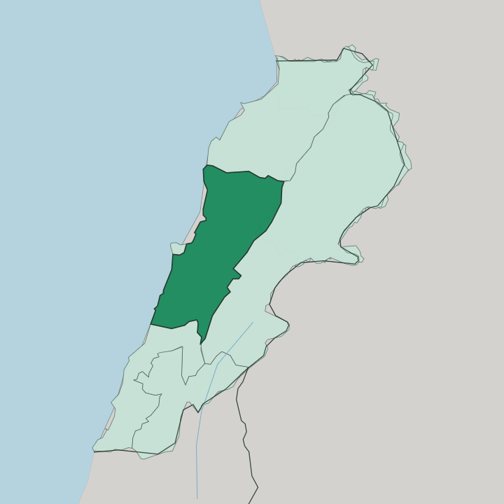
Towns & cities in Mohafazat Mont-Liban
Pick a town or city — each links to where to stay.
Base yourself off Beirut. The governorate surrounds the capital on three sides. Baabda sits just above the city, close in but already climbing.
For the mountain proper, Aley is the classic cool-air base on the Damascus road, while the Chouf to the south gathers Druze villages around the cedar reserve and the old emirs' town of Deir el Qamar. The Matn hills to the north hold Bikfaya and Beit Mery below Mount Sannine. Pick the shoulder-of-Beirut towns for access; head into the Chouf or up the Matn when you want the quieter high country.
About Mohafazat Mont-Liban
This is the range that gave Lebanon its name.
What is Mohafazat Mont-Liban known for?
The governorate rings the capital, Beirut, and stacks its towns up the western wall of the Mount Lebanon range, from the shore to peaks near 3,000 metres. Baabda is the seat of government. Higher up, Aley, Bikfaya and Beit Mery draw people out of the summer heat, and the Al Shouf Cedar Nature Reserve holds the country's densest surviving cedar groves.
Druze and Maronite villages sit close together across these slopes, a mix that has shaped the mountain for centuries.
Where is Mohafazat Mont-Liban?
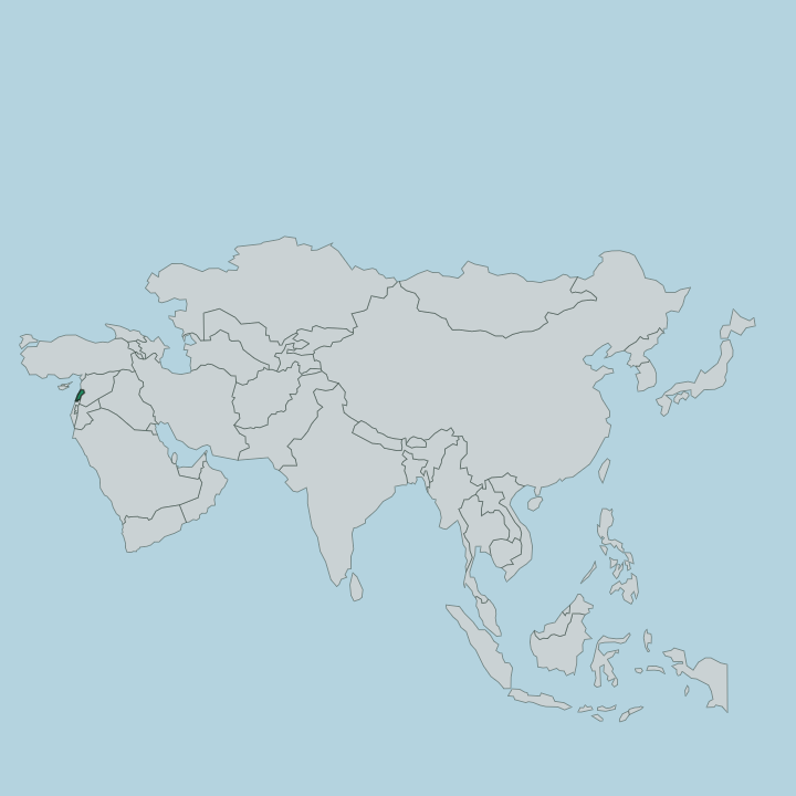
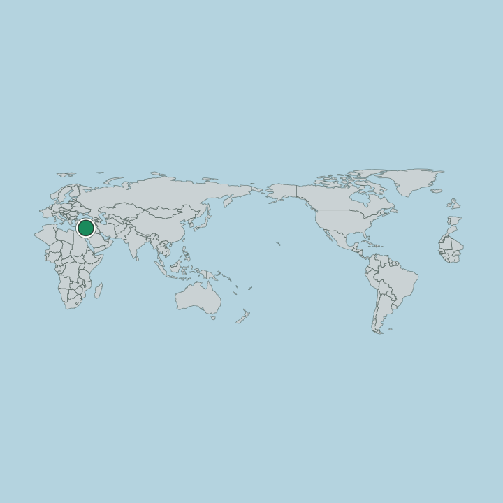
Mohafazat Mont-Liban runs down the middle of Lebanon, along the Mediterranean coast and up the range that shares its name. It wraps almost entirely around the small Beirut Governorate, which sits like an island of city inside it. The land does not ease inland gently.
From a narrow coastal strip it rises hard to the crest of the Mount Lebanon range, reaching close to 3,000 metres at Mount Sannine in the north. That climb is the whole character of the place. South of Beirut the slopes fold into the Chouf highland, cut by the Damour river on its way to the sea.
Closer to the capital the Nahr El Kalb and the Nahr Beirut drop through short, steep valleys to the Mediterranean. The Al Shouf Cedar Nature Reserve spreads across the Barouk ridge in the south, the largest protected area in the country and the stronghold of its remaining cedars. To the east the mountain wall gives way to the Bekaa valley beyond the watershed.
Every road here is a road that climbs.
What is Mohafazat Mont-Liban like?
The mountain is a mosaic of communities living side by side. Druze villages hold the heights of the Chouf and Aley, and Maronite towns cluster through the Matn and the slopes around Baabda, often within sight of one another across a single valley. That closeness is the governorate's defining social fact.
It has meant both long coexistence and, at times, bitter conflict. Arabic is the everyday language, though French and English are widely understood in the hill towns that have long taken in summer visitors. Life here has always had two seasons.
In the warm months families move up from the coast to Aley, Bikfaya and Beit Mery, and the mountain restaurants and terraces fill. Deir el Qamar in the Chouf keeps the stone houses and palaces of the old emirs who once ruled the whole range. The cedar is more than a tree on the flag.
In the Al Shouf reserve it is a living forest that people climb up specifically to walk among.
What is the history of Mohafazat Mont-Liban?
The mountain has long been a refuge. Its steep valleys sheltered Maronite and Druze communities who held out where flatter land could not protect them. Under the Druze emir Fakhr al-Din II, who died in 1635, the range was drawn together and Maronites were encouraged to settle the Chouf alongside their Druze neighbours.
That balance later broke. The Druze-Maronite conflict of 1860 killed thousands and drew in the European powers, and in 1861 the mountain was made an autonomous Ottoman province, the Mount Lebanon Mutasarrifate. That self-ruling mountain is the direct ancestor of the modern governorate and of Lebanon itself.
What is the climate of Mohafazat Mont-Liban?
Climate here is a question of altitude. The narrow coastal strip has hot, dry Mediterranean summers and mild, wet winters, much like Beirut below. Climb the range and everything cools.
In the hill towns of Aley and Bikfaya the summer air stays fresh where the coast bakes, which is exactly why families have gone up there for generations. Winter brings real snow to the high ground around Mount Sannine and the Chouf ridges, and the cedar forests of the Al Shouf reserve sit under it for months. The wet season runs from autumn into spring.
How do you get to Mohafazat Mont-Liban?
The governorate has no airport of its own. It does not need one. Beirut's international airport sits on the coast at the edge of the capital that Mohafazat Mont-Liban surrounds, so most visitors land there and drive straight up into the mountain.
Baabda is only a short climb from the city. From the coast, roads switchback up to Aley on the old route toward Damascus, and other roads thread south into the Chouf and north into the Matn hills. Once you are off the shore, the going is all uphill and slow.
Good for
Updated July 2026