Russia
Krasnoyarskiy Kray, Russia — Towns & Travel Guide


Krasnoyarsk Krai stretches from the Sayan Mountains north along the Yenisei to the Arctic, the largest krai in Russia.
Find your area →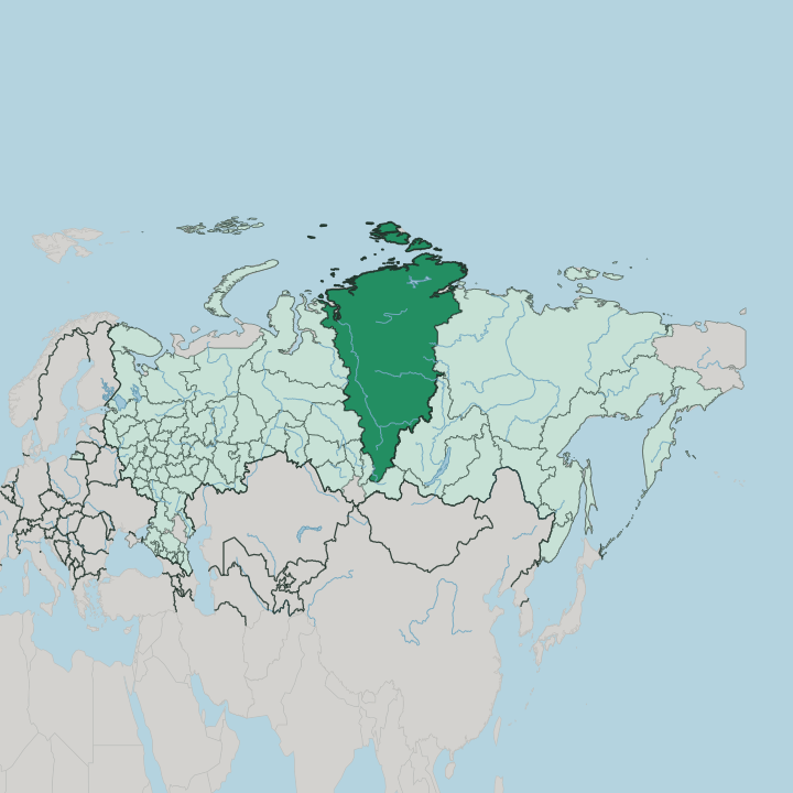
Towns & cities in Krasnoyarskiy Kray
Pick a town or city — each links to where to stay.
 Russia
Krasnoyarsk
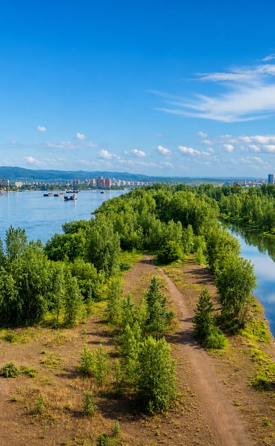
Krasnoyarsk sits in a mountainous basin in Krasnoyarsk Krai, a Siberian city known for the Surikov homestead museum and the wild country around it.Where to stay →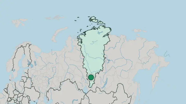
 Russia
Norilsk
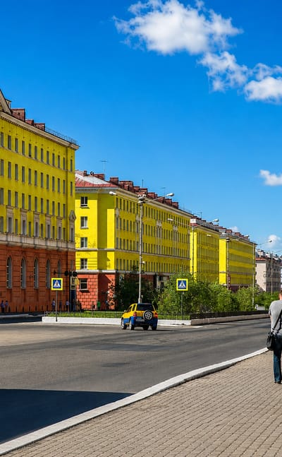
Frost grips the tundra at Norilsk, a nickel-processing city on the Taymyr Peninsula in Krasnoyarsk Krai, one of the northernmost cities in the world…Where to stay →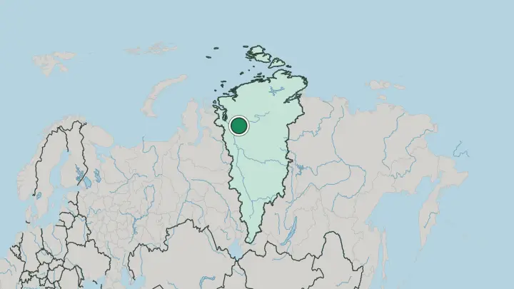
About Krasnoyarskiy Kray
One river defines the whole territory.
What is Krasnoyarskiy Kray known for?
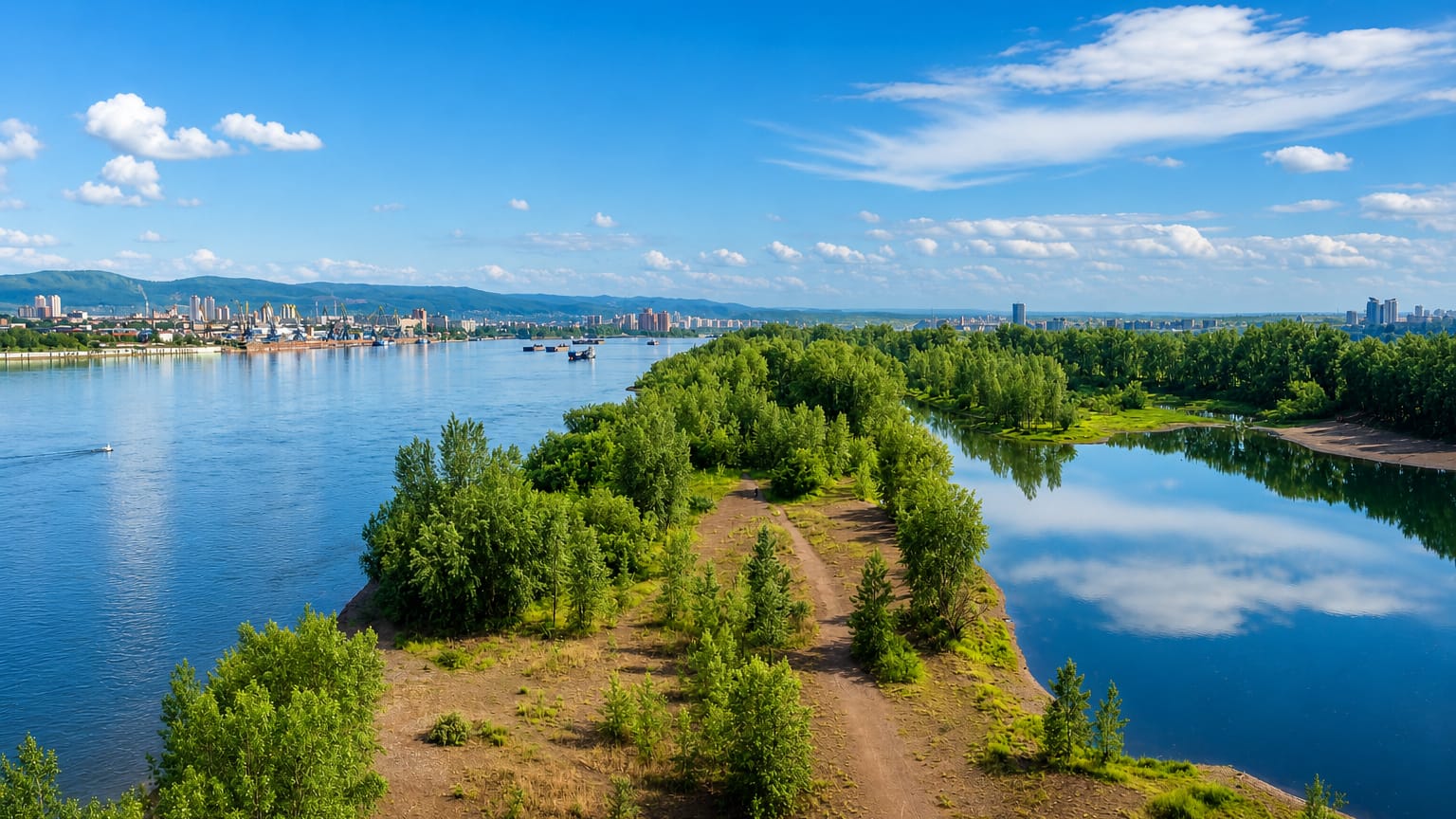
The Yenisei runs the length of Krasnoyarsk Krai from the Sayan Mountains in the south to the Kara Sea in the north, dividing the flat West Siberian Plain from the higher Central Siberian Plateau to the east. The city of Krasnoyarsk sits on its banks, and just south of it the Krasnoyarsk Pillars raise weathered granite towers out of the taiga. Far north lie Norilsk and the Putorana Plateau.
Few places pack in so much distance.
Where is Krasnoyarskiy Kray?
Krasnoyarsk Krai fills the centre of Siberia, a band of land roughly three thousand kilometres deep. It is the largest krai in Russia and covers about a seventh of the whole country. The Yenisei is the axis of it all.
The river enters from the Sayan Mountains in the far south, passes the capital at Krasnoyarsk, and runs north through taiga and tundra to empty into the Kara Sea. West of the river the ground is the flat West Siberian Plain; east of it rises the Central Siberian Plateau, cut by the Angara, the Kan and the Podkamennaya Tunguska. The plateau climbs to its highest ground in the Putorana Plateau of the far north-west.
The south is different country again. There the Sayan Mountains wall off the warm Minusinsk basin, the mildest corner of the krai and its oldest farmland. Follow the Yenisei the other way and the land empties out.
Norilsk stands on permafrost near the Arctic coast, and beyond it the Taymyr Peninsula reaches the northernmost point of the Asian mainland. Almost everyone lives in the southern third, close to Krasnoyarsk and the railway.
What is Krasnoyarskiy Kray like?
The krai carries two cultures at once. In the south the life is that of a Siberian railway city, and Krasnoyarsk is its centre. The painter Vasily Surikov was born there, and the museum that holds his work sits near the opera and ballet theatre on the Yenisei embankment.
Russian is the everyday language across the settled south, spoken along the whole Trans-Siberian corridor. Summer brings people down to the river. The Yenisei Ukha festival gathers cooks along the banks to boil vast pots of fish soup over open fires, a plain celebration of the river that feeds the region.
The north tells another story entirely. Across the tundra of the Taymyr Peninsula the Evenki, the Dolgans and the Nenets still herd reindeer and follow the old seasonal routes, and their languages carry hunting knowledge and a shamanic memory that predate the Russian towns by centuries. Reindeer, fish and the migrating herds set the calendar up there.
Two worlds share one map.
What is the history of Krasnoyarskiy Kray?
Russians reached the Yenisei in the seventeenth century, and Yeniseysk grew up in 1619 as a fur-trade fort on the river, years before Krasnoyarsk was founded downstream as a frontier stockade in 1628. Both guarded the water route into Siberia. That krai in its present form is far younger.
It was drawn up in 1934, when the Soviet state split the older Siberian territories and gave Krasnoyarsk the whole Yenisei basin, from the Sayan Mountains to the Taymyr Peninsula, under one administration. The borders followed the old Yeniseysk province almost exactly.
What is the climate of Krasnoyarskiy Kray?
The krai runs through three climate belts, and no single word covers it. Winters are long and hard everywhere. Around Krasnoyarsk in the settled south the January cold is sharp but bearable, and summers turn genuinely hot in the sheltered Minusinsk basin behind the Sayan Mountains.
Push north and the readings collapse: on the Taymyr Peninsula and around Norilsk the ground stays frozen year-round and January sits far below anything the south sees. The Yenisei freezes over for months, then breaks up in a rush each spring.
How do you get to Krasnoyarskiy Kray?
Most travellers land at Krasnoyarsk. Krasnoyarsk International Airport sits north-west of the city and carries the flights that link the krai to Moscow and the rest of Russia. The other classic approach is by rail, since the Trans-Siberian Railway runs straight through Krasnoyarsk on its long line east from Moscow.
The Arctic north keeps to itself. Norilsk has no road or railway to the outside world, so reaching it means flying in or taking a river ship down the Yenisei to the port at Dudinka.
Common questions
What is the best area to stay in Krasnoyarskiy Kray?
Krasnoyarsk: first base for the whole krai.
Good for
Updated July 2026