Russia
Samara Oblast, Russia — Towns & Travel Guide


Samara Oblast follows the Volga's great loop around the Zhiguli Mountains, in the middle-Volga country of western Russia.
Find your area →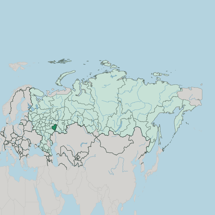
Towns & cities in Samara Oblast
Pick a town or city — each links to where to stay.
 Russia
Samara
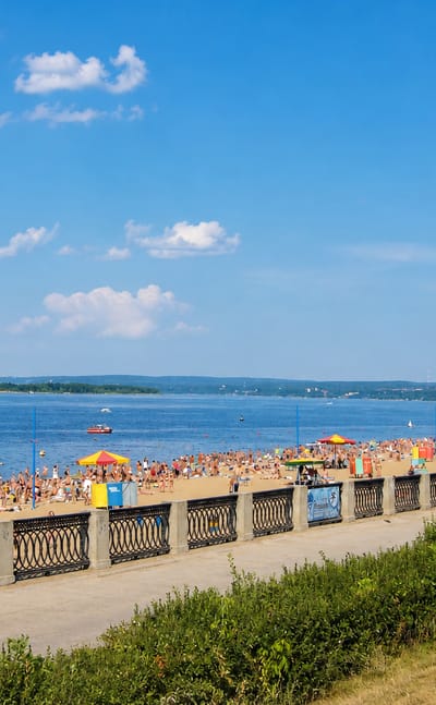
Art Nouveau mansions crowd the old streets of Samara, a city in Samara Oblast known for the Samara Art Museum and the neo-Gothic Sacred Heart Church.Where to stay →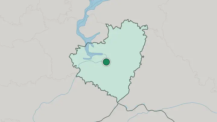
 Russia
Tolyatti
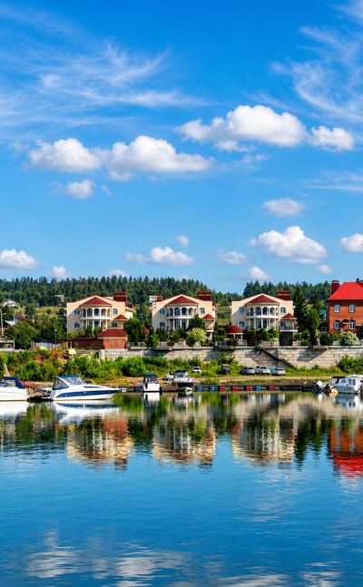
Broad avenues and monuments mark Tolyatti, a city in Samara Oblast founded in 1737 as Stavropol and rebuilt in the Soviet century.Where to stay →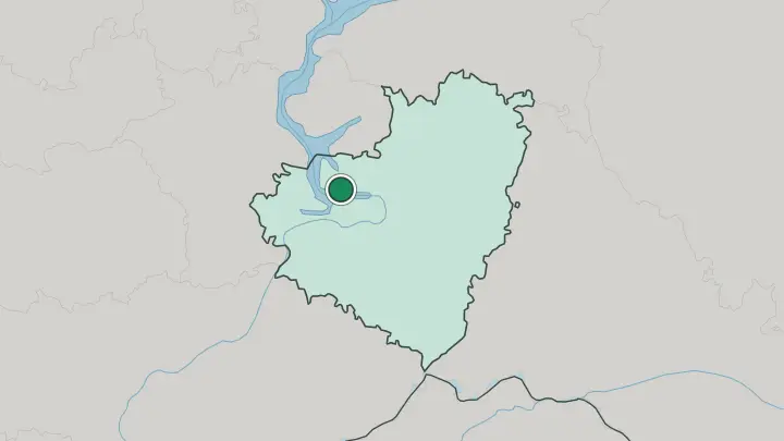
About Samara Oblast
The Volga defines it.
What is Samara Oblast known for?
The river swings into a wide hairpin loop here, the Samara Bend, wrapping right around the wooded Zhiguli Mountains before straightening out again downstream. Samara, the capital, sits where the Samara river meets the Volga. It is a city of more than a million people.
Upstream stands Tolyatti, built beside the Kuybyshev Reservoir around the AvtoVAZ works that turn out Lada cars. Cars, oil, and the river together made this one of the Soviet Union's great industrial corridors.
Where is Samara Oblast?
Samara Oblast lies in the middle-Volga country of western Russia, where the great river turns east and then doubles back on itself in a wide loop. That loop is the Samara Bend. The Volga curls almost 200 kilometres around the Zhiguli Mountains, a range of wooded limestone hills on the right bank that rise to roughly 381 metres, a real break in an otherwise level land.
Most of the oblast is the low, flat plain of the Volga's left bank. The river splits it. West of the water the ground climbs into the Zhiguli; east of it the plain runs out toward the steppe.
The capital, Samara, stands on that left bank where the Samara river empties into the Volga. Upstream lies Tolyatti and the Kuybyshev Reservoir, the vast pool held back by the dam near Zhigulyovsk and the largest reservoir in Europe. Ulyanovsk Oblast borders it to the west and Tatarstan to the north, with Orenburg to the east and Saratov to the south.
The peninsula caught inside the Volga's loop is protected as Samarskaya Luka National Park. Everything here bends around that one river.
What is Samara Oblast like?
This is Volga industrial country, and the river runs through its self-image as much as its landscape. Samara grew up as a grain-trading town on the water before oil and engineering reshaped it. During the Second World War the capital, then called Kuybyshev, became the reserve seat of the Soviet government when Moscow was threatened in 1941.
Ministries, embassies, and the Bolshoi's dancers all decamped here. Deep beneath the city they dug Stalin's bunker, a command shelter sunk far below the streets, opened to the public only after the Soviet Union ended. Tolyatti tells the other half of the story.
Its AvtoVAZ plant built the Lada, the car that put much of the country on wheels, and the town still runs on that industry. The Zhiguli name is everywhere, borrowed by a beer and a car alike from the hills across the river. Away from the factories the region keeps a quieter face.
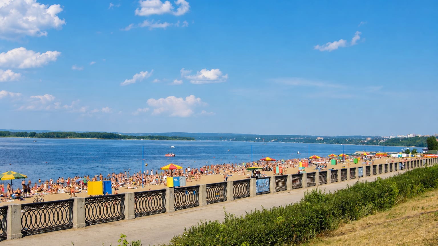
Fishermen work the reservoir, hikers walk the wooded ridges of the Samara Bend, and the long Volga embankment in Samara fills on summer evenings. Russian is the working language throughout.
What is the history of Samara Oblast?
Samara began as a frontier fortress in 1586, guarding the Volga trade against raiders from the steppe. For centuries the town lived off grain and river commerce. Then the twentieth century remade it.
The oblast in its present borders dates to 1936, oil and engineering arrived, and in 1941 wartime Kuybyshev took in the evacuated Soviet government. The 1950s brought the dam near Zhigulyovsk and the Kuybyshev Reservoir behind it, whose rising water drowned old Stavropol and forced Tolyatti to be rebuilt on higher ground.
What is the climate of Samara Oblast?
The climate is sharply continental. Winters bite hard, freezing the Volga and the Kuybyshev Reservoir into solid ice roads that hold traffic for months. Summers turn warm and dry over the steppe.
The wooded forest-steppe of the north gives way to open, drier grassland in the south and east, and rain is never generous away from the river. Snow lies deep and long.
How do you get to Samara Oblast?
Kurumoch International Airport is the way in for most. It stands on the plain north of Samara, between the capital and Tolyatti. Trains matter as much: Samara sits on the main line running east out of Moscow toward the Urals and Central Asia, and long-distance services stop right in the city.
Boats work the Volga. Roads bridge the river near the dam at Zhigulyovsk to reach the Zhiguli side and the Samara Bend.
Common questions
What is the best area to stay in Samara Oblast?
Samara: a first stay and the Volga riverfront. Tolyatti: the reservoir shore and the car-industry towns.
Good for
Updated July 2026