Sweden · Dalarna County
Where to Stay in Vansbro, Dalarna County


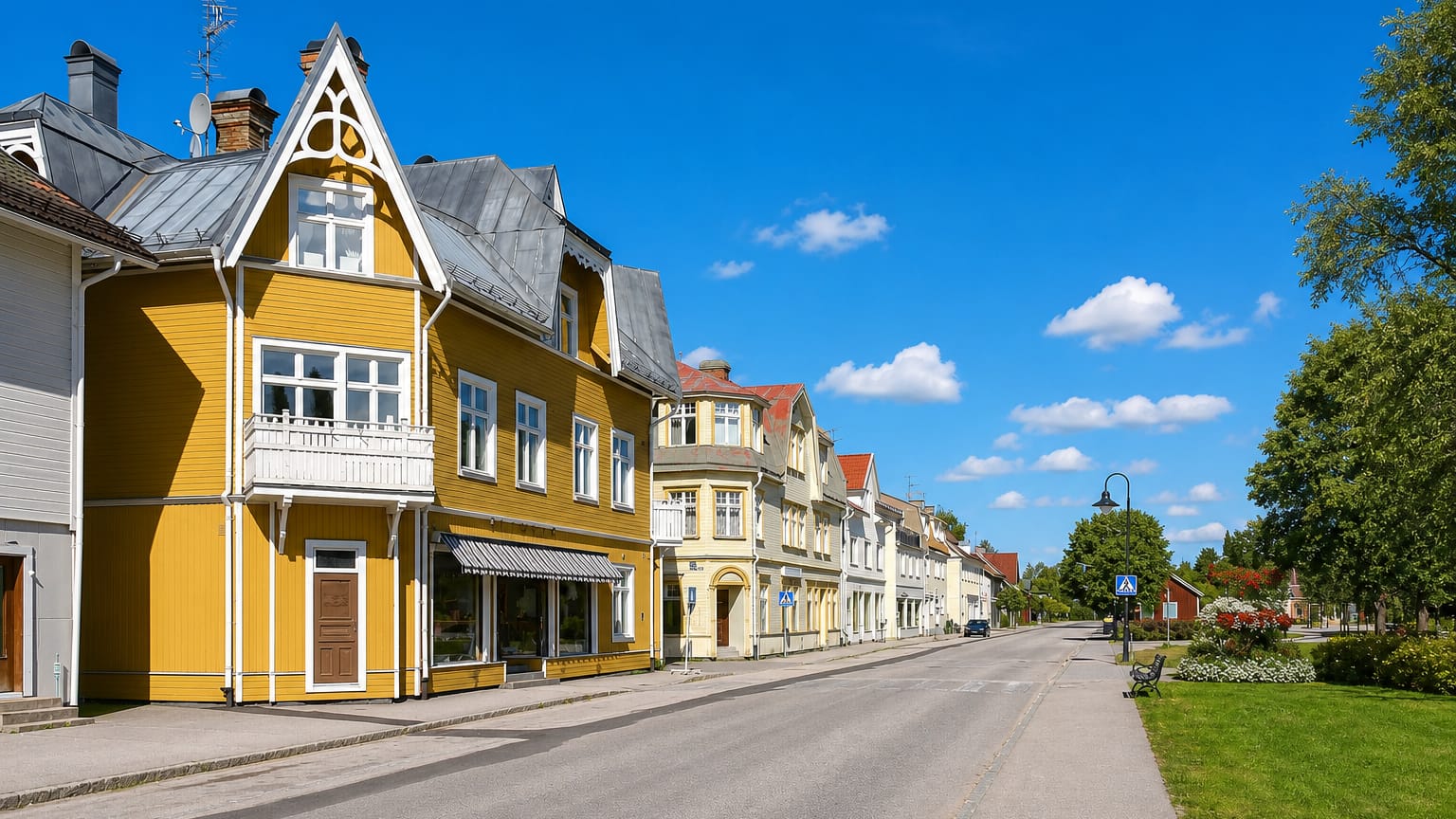
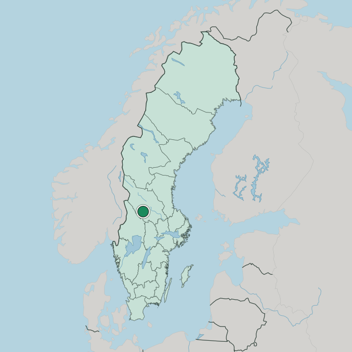
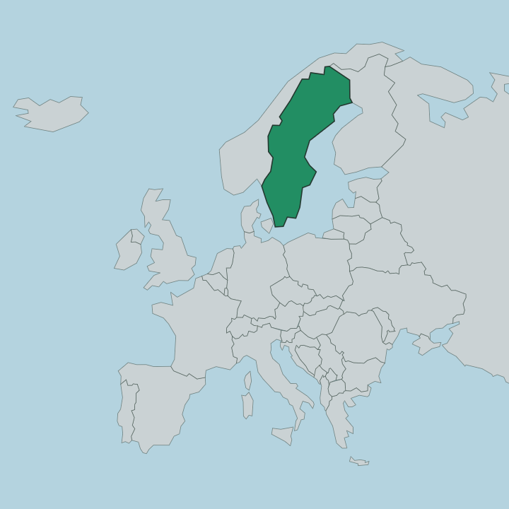
Vansbro is a river town in the western part of Dalarna County, set where the Vanån flows into the Västerdalälven in central Sweden.
Find your area →
Where to stay in Vansbro
The right area depends on your trip — here's what each neighbourhood is best for.
Most visitors stay in the small town centre, the compact cluster of streets near the church and the river crossing that keeps shops, the station, and cafes within an easy walk. It suits travellers who arrive by train. Rooms here run from a modest local hotel to guesthouses and rented apartments that fill quickly when the swimming race draws its crowds each summer.
The riverside and outlying villages offer the other option for anyone who wants the water at the door. Lodging along the Västerdalälven and Vanån leans toward cabins, campsites, and self-catering stuga rentals, a calm setting for families and river fishers who plan to spend their days on or beside the river. Beds turn scarce around race weekend.
For a base with quick road access to the wider valley, the practical choices sit out near Route 26, handy for drivers touring the western Dalarna forests. Book early for July. The town empties again by autumn.
About Vansbro
Vansbro is known for swimming.
What is Vansbro known for?
Each summer the Vansbrosimningen open-water race fills the Vanån and the Västerdalälven with thousands of swimmers, a long-running event that has put this small Dalarna town on the map for endurance athletes from across the country. The race defines the place. Around it the town keeps a quiet forest-and-river character, with Vansbro kyrka anchoring the centre and the surrounding valleys drawing anglers and cyclists through the warmer months.
What are the main landmarks in Vansbro?
Vansbro kyrka is the town's main landmark, a parish church standing near the meeting of the two rivers. The waterways themselves are the other draw. The Vanån and the Västerdalälven thread through the settlement, their banks lined with the routes that the famous swimming race follows each summer, and the old railway crossing marks the spot where road, rail, and river all converge.
Forest trails climb the surrounding ridges. Together these features give the place its plain, water-bound shape.
What is the history of Vansbro?
Vansbro grew up around water and timber. Long before the town took shape, this stretch of the Västerdalälven carried logs down from the forests of western Dalarna toward the mills and markets of the south, and the river crossing here made a natural gathering point for the scattered farming villages of the valley. The settlement stayed small and rural for generations.
The railway changed its fortunes. When the line reached the valley, Vansbro became a junction where the iron road met the river route, and a proper town began to form around the station with shops, workshops, and a church to serve the growing community. Industry leaned on the forests that still ring the place.
In the modern era the town found a second identity in sport, as the open-water swimming race grew from a local contest into a national fixture that now shapes the town's calendar and its reputation far beyond the borders of Dalarna.
Where is Vansbro?
Vansbro lies in the western part of Dalarna County, where the Vanån joins the Västerdalälven among forested hills. The land is wooded. River valleys cut through the surrounding uplands, and the town sits low on the flats where the two waterways meet, hemmed in by ridges that rise toward the Norwegian border country to the north and west.
Lakes and bogs dot the forest beyond. It is deep inland Sweden, far from any coast.
What is the climate of Vansbro?
Vansbro sits deep in the cold inland forest. Far from the sea among the forests of western Dalarna, the town sees long, snowy winters with hard frosts and short daylight, while summers turn mild and bright enough to warm the rivers for the swimming season. Snow lingers into spring.
The forests hold the cold. Autumn comes early and sharp, painting the birch and pine slopes around the valley before the first deep freeze settles over the water.
How do you get to Vansbro?
Vansbro sits on a rail line. Trains running through western Dalarna stop at the town's station, linking it toward Borlänge and the wider network, and the platform leaves you a short walk from the centre. By road, Route 26 and Route 71 meet near the town, carrying drivers up the valley and on toward the mountains.
The nearest airports lie well to the south. Most travellers arrive by car or train, since the forests here stretch far between settlements.
More cities in Dalarna County
Updated July 2026