Dominican Republic: Regions, Cities & Travel Guide
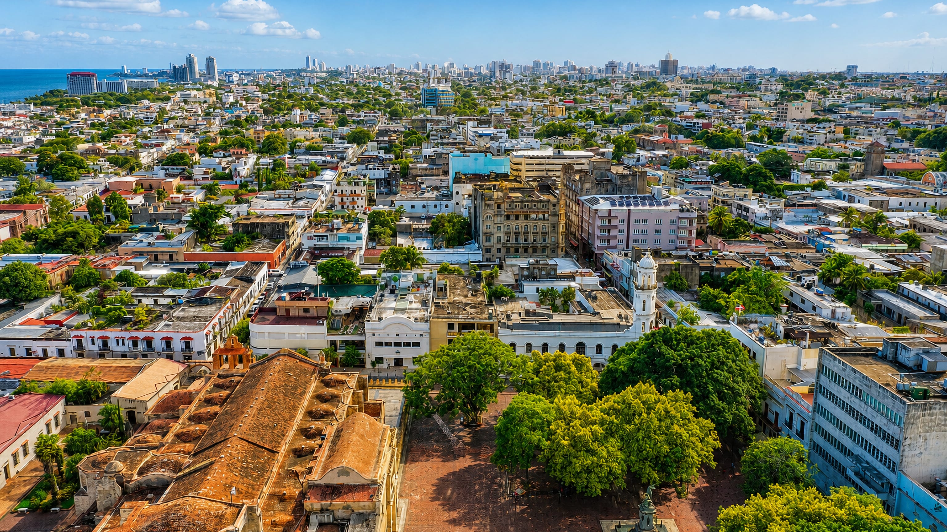
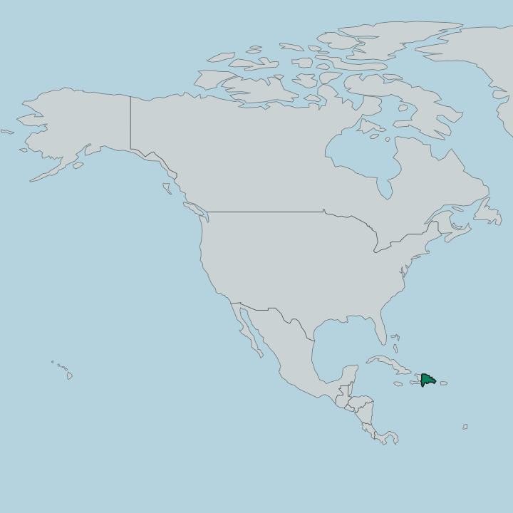
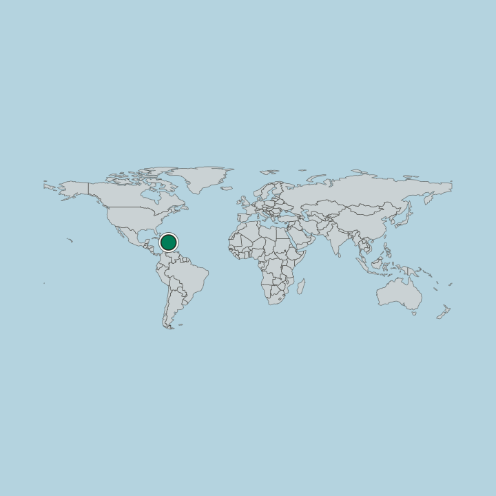
The Dominican Republic fills the eastern side of Hispaniola, an island it shares with Haiti, with Santo Domingo as its capital.
Hotel links are affiliate links: booking through them may earn us a commission, at no extra cost to you. It never affects how places are ranked. How this works


Top destinations in Dominican Republic
Cities to start from, then drill into areas and hotels.
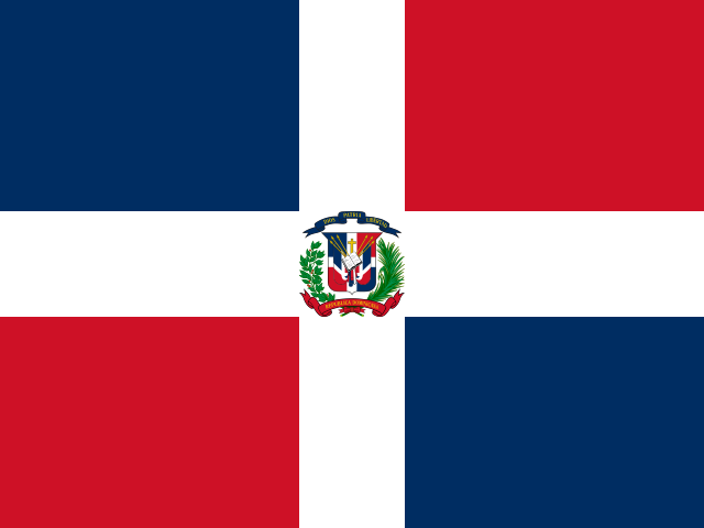 Dominican Republic
Santo Domingo
Santo Domingo is the capital of the Dominican Republic, the oldest European city in the Americas, set on the Caribbean coast of Hispaniola.Where to stay →
 Dominican Republic
Punta Cana
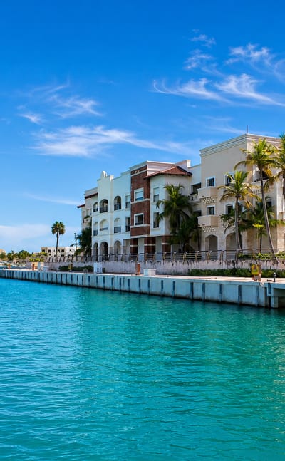
Punta Cana is a coastal city in Provincia de La Altagracia, on the Caribbean shore of Hispaniola in the Dominican Republic.Where to stay →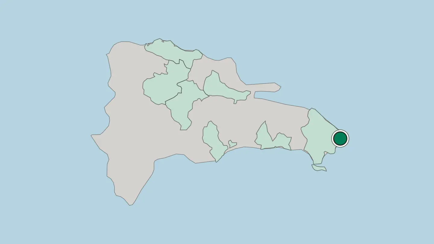
 Dominican Republic
Santiago de los Caballeros
Santiago de los Caballeros stands inland in the Cibao, northwest of Santo Domingo, a Spanish foundation of 1495 marked by the Monumento de Santiago.Where to stay →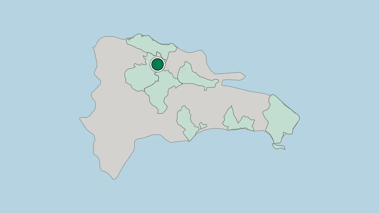
 Dominican Republic
Puerto Plata
Puerto Plata, a coastal city founded in 1502, stands under Pico Isabel de Torres, with Fortaleza San Felipe and the Historical Centre below.Where to stay →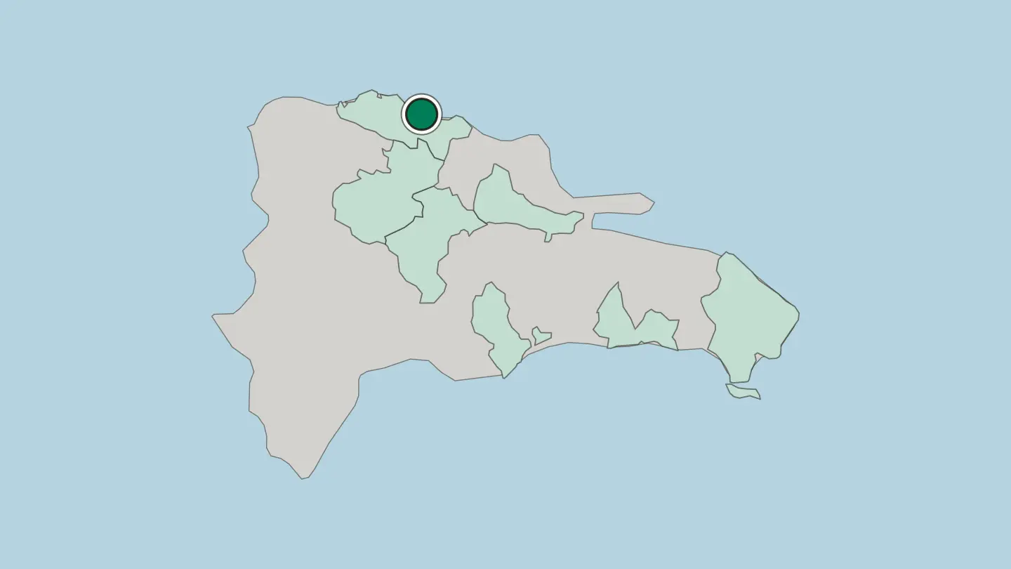
 Dominican Republic
San Pedro de Macorís
San Pedro de Macorís sits on the Dominican coast east of Santo Domingo, a provincial capital known for its ballplayers and the Estadio Tetelo Vargas.Where to stay →
 Dominican Republic
San Francisco de Macorís
San Francisco de Macorís stands in the Cibao, capital of Duarte Province, its name joining Saint Francis to Macorix, the old name of the territory.Where to stay →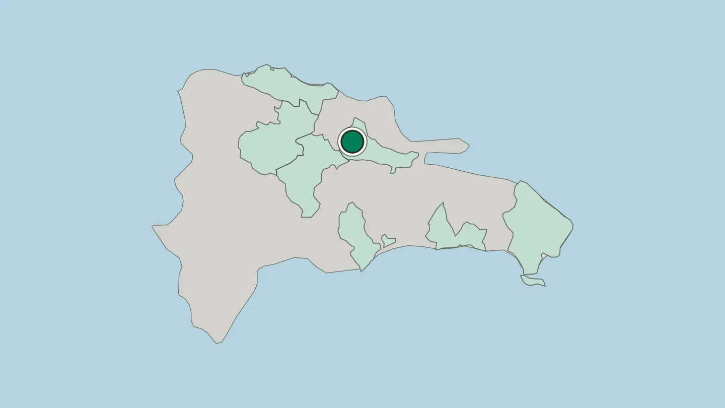
 Dominican Republic
Salvaleón de Higüey
Higüey is a city of the eastern Dominican Republic, the island's great pilgrimage town, where the faithful come to the basilica of Our Lady of Altagracia.Where to stay →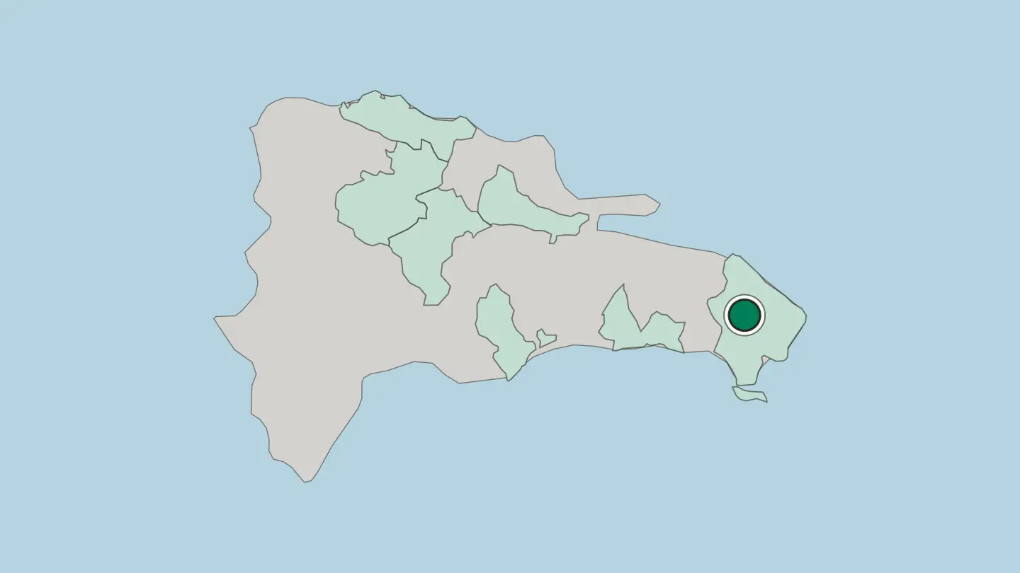
 Dominican Republic
San Cristóbal
San Cristóbal lies in a valley between the Nigua and the Nizao, under the foothills of the Cordillera Central, with its cathedral fixing the centre.Where to stay →
 Dominican Republic
La Vega
La Vega, founded in 1494 as Concepción de la Vega, is the Carnival city of the Dominican Republic and the capital of its own province.Where to stay →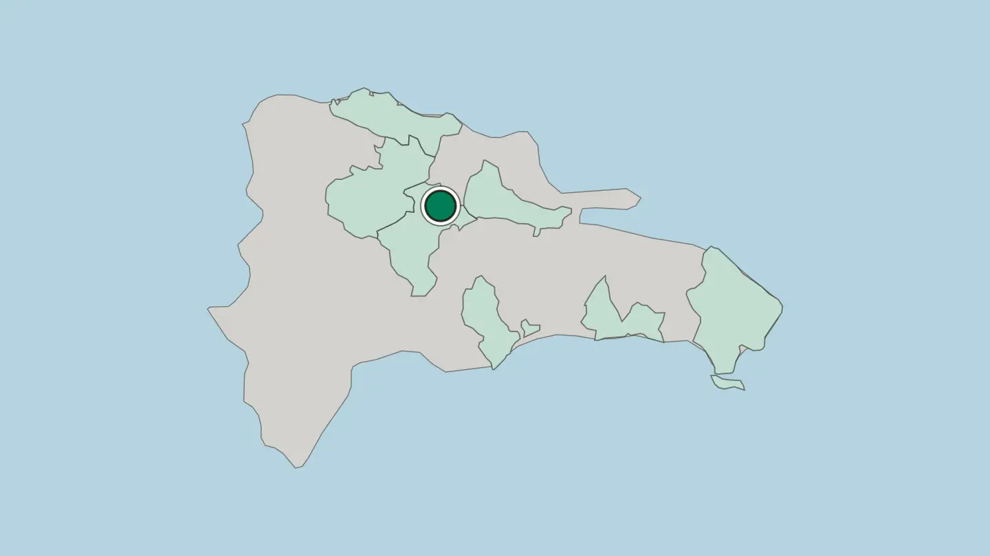
Hotel links are affiliate links: booking through them may earn us a commission, at no extra cost to you. It never affects how places are ranked. How this works
Regions of Dominican Republic
Dominican Republic
Distrito Nacional
The Distrito Nacional is the capital district of the Dominican Republic, the subdivision that encloses Santo Domingo on the Caribbean coast of Hispaniola.Towns & cities →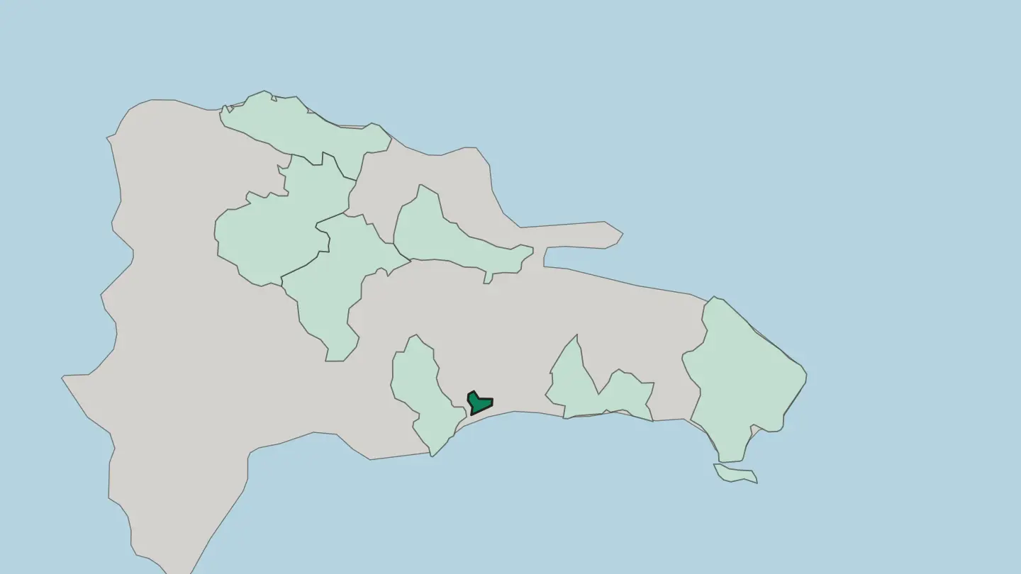 Dominican Republic
La Vega
La Vega is one of the 32 provinces of the Dominican Republic, spread through the Cibao Valley around its namesake capital.Towns & cities →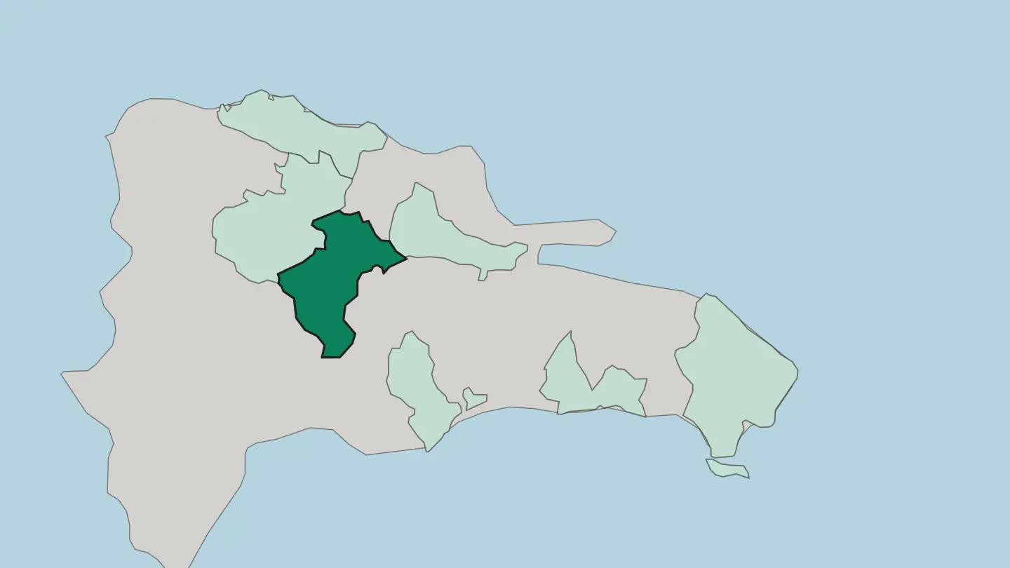 Dominican Republic
Provincia Duarte
Provincia Duarte is a northeastern province of the Dominican Republic, named for Juan Pablo Duarte and run from San Francisco de Macorís.Towns & cities →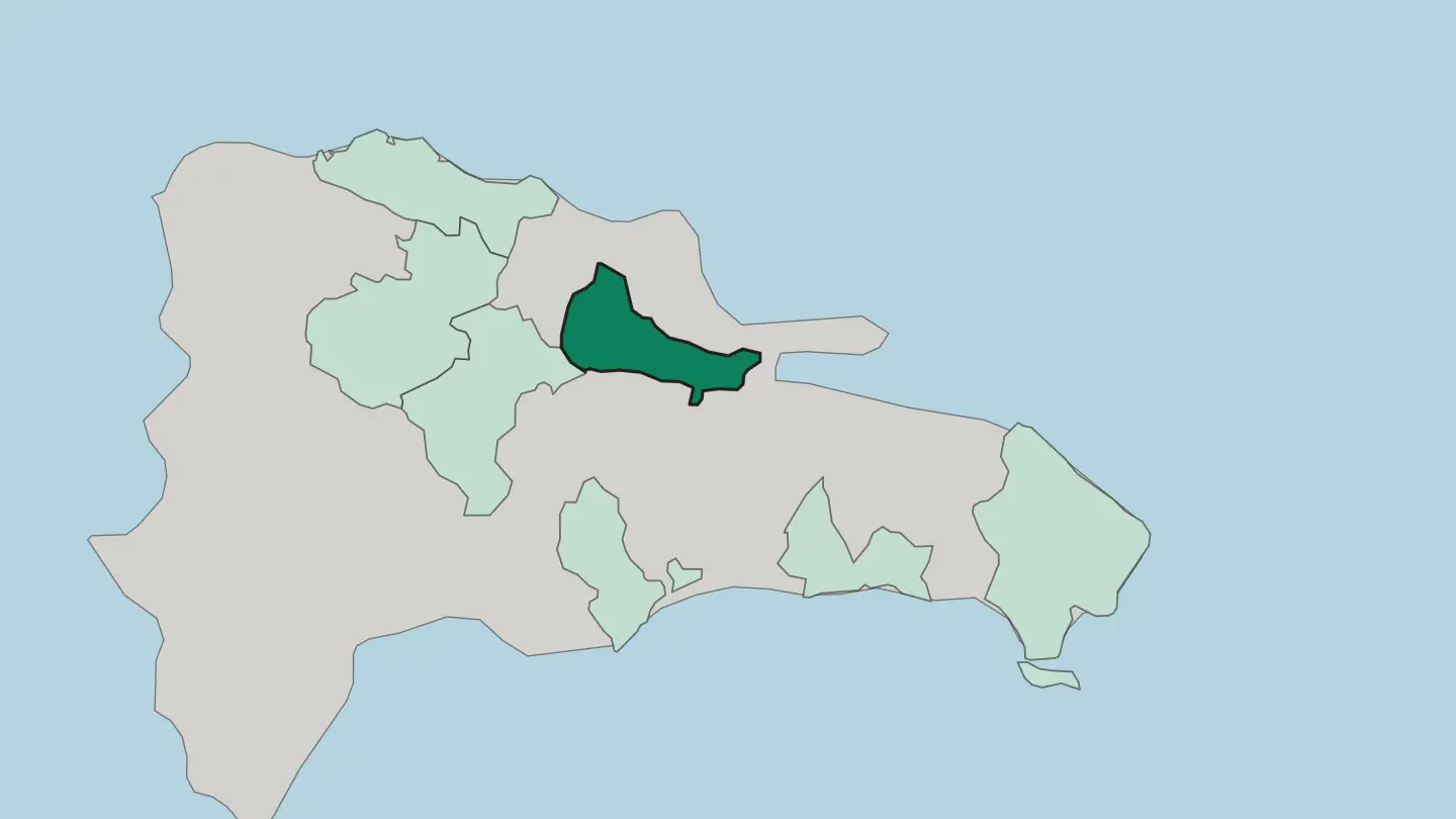 Dominican Republic
Provincia de La Altagracia
Provincia de La Altagracia is a coastal province of the Dominican Republic, holding the Caribbean shore of Hispaniola around Punta Cana.Towns & cities →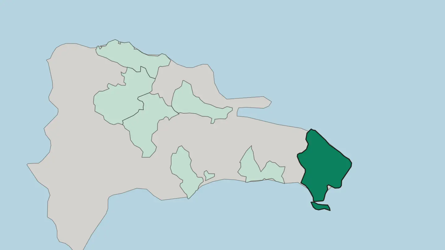 Dominican Republic
Puerto Plata
A province in northern Dominican Republic, Puerto Plata sets the Septentrional mountain range against a coastline on the Atlantic Ocean.Towns & cities →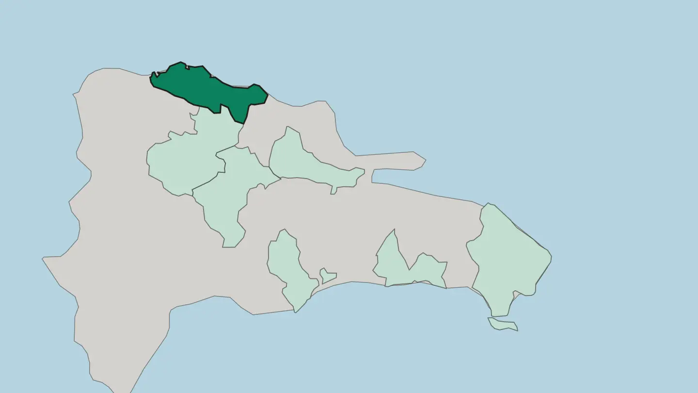 Dominican Republic
San Cristóbal
San Cristóbal is a province in the southern region of Dominican Republic, lying west of Santo Domingo and fronting the Caribbean Sea.Towns & cities →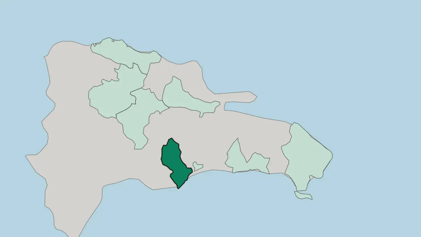 Dominican Republic
San Pedro de Macorís
San Pedro de Macorís is a province of the Dominican Republic whose capital city of the same name works to the rhythm of sugar near Santo Domingo.Towns & cities →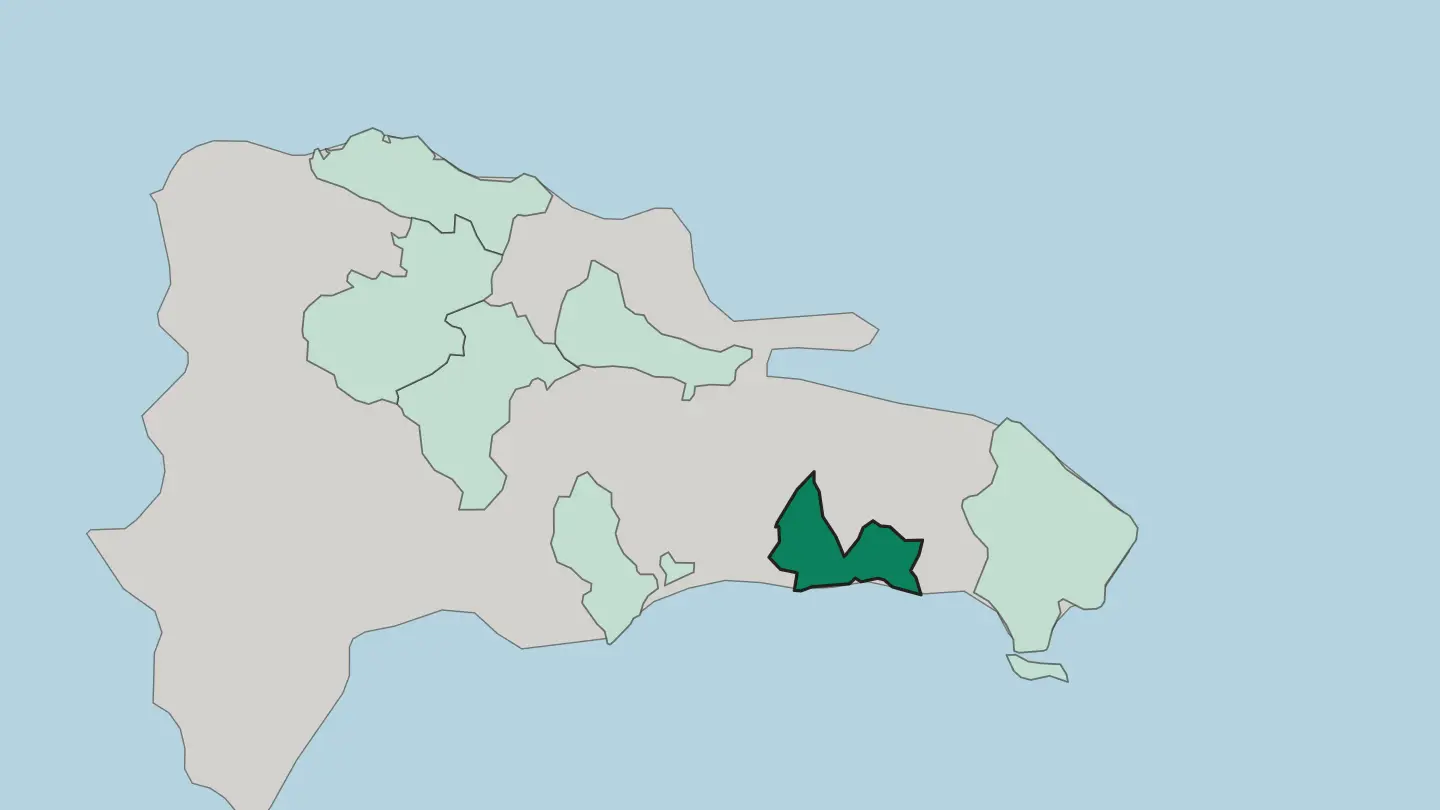 Dominican Republic
Santiago
Santiago is a Dominican Republic province in the Cibao, centred on Santiago de los Caballeros and bordered by Puerto Plata and La Vega.Towns & cities →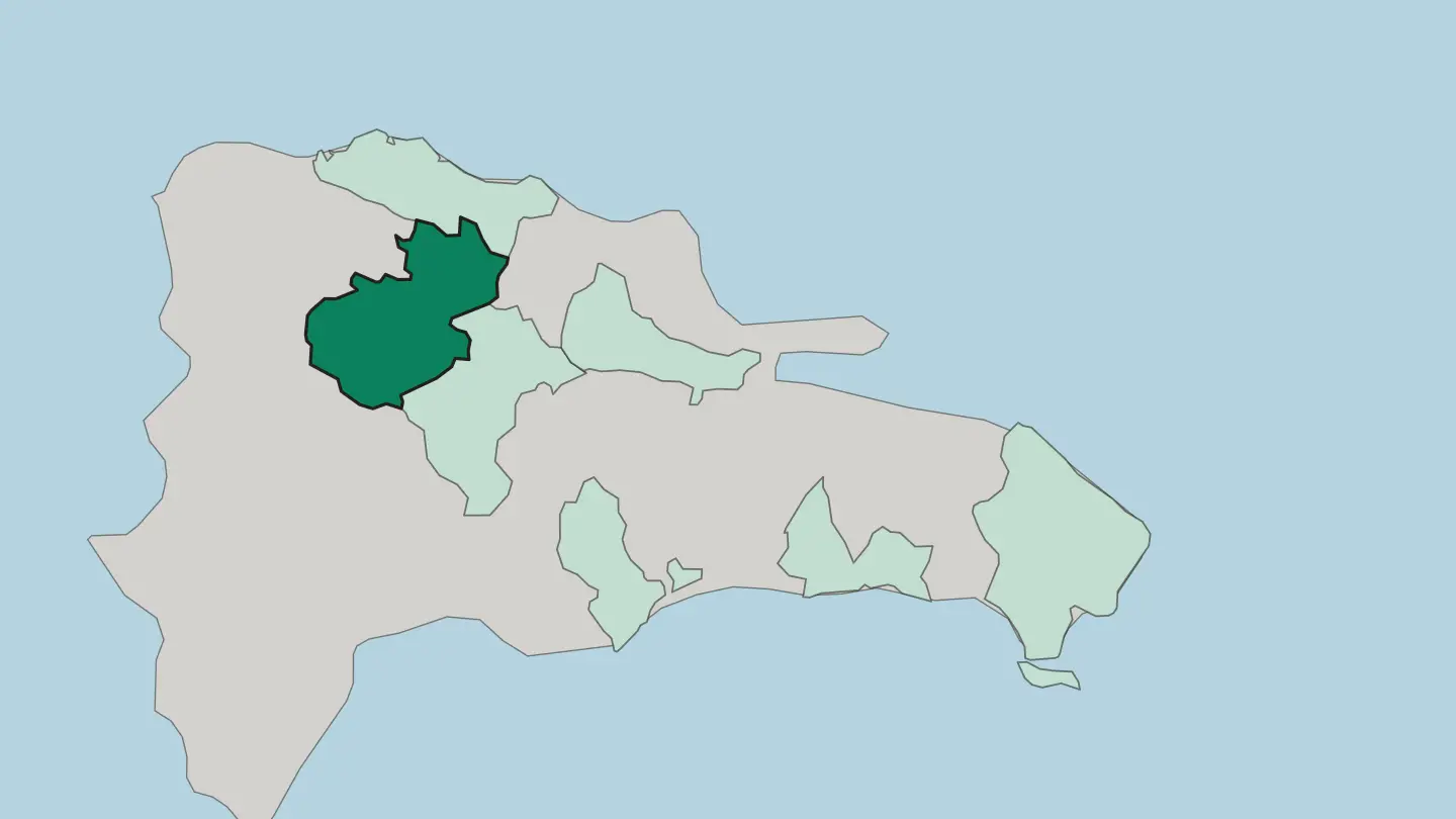
About Dominican Republic
What is Dominican Republic known for?
Santo Domingo holds the oldest surviving European settlement in the Americas, and its walled Colonial Zone still keeps the first cathedral and fortress the Spanish raised on the continent. Beaches carry the country's name abroad. The reef-backed sands of Punta Cana and the palm coast near Samaná draw most arrivals, while inland the Cordillera Central climbs to Pico Duarte, the highest peak anywhere in the Caribbean.
Merengue and bachata were born here, and the country sends more players to the major leagues of baseball than any nation but the United States.
Where is Dominican Republic?
The Dominican Republic takes the eastern five-eighths of Hispaniola, the second-largest island in the Greater Antilles, and hands the western portion to Haiti. The Dominican Republic is a land of mountains. Four ranges cross the land, and the greatest of them, the Cordillera Central, drives a spine of high country through the interior and lifts Pico Duarte above every other summit in the Caribbean.
Between that range and the Cordillera Septentrional along the Atlantic shore opens the Cibao, a broad fertile valley that has fed the country for centuries and holds Santiago de los Caballeros, the second city. Rivers and lakes carve out what the ranges leave. The Yaque del Norte, the longest river in the country, drains the Cibao westward toward Monte Cristi, while the Ozama slides past the old stone quays of Santo Domingo to the Caribbean.
The far south-west drops below the sea. There the land sinks into the Hoya de Enriquillo, a hot depression cradling Lake Enriquillo, a hypersaline lake set well beneath sea level and ringed by cactus, crocodiles, and salt flats. Coastlines swing between moods around the perimeter.
The Atlantic north is windswept and green, the Caribbean south and east warm and calm, and offshore islands like Saona and Beata guard the corners. From salt lake to mile-high ridge, the relief is anything but flat.
What is the history of Dominican Republic?
Columbus made landfall on Hispaniola in 1492, and the island became the first staging ground of Spain's empire in the New World. Santo Domingo came next. Founded in the last years of the fifteenth century on the banks of the Ozama, rebuilt in stone in 1502 after a hurricane wrecked the first site, it grew into the earliest seat of Spanish power in the Americas, sending out the governors and ships that would reach the mainland.
From that walled city Spain administered the conquest of the wider Caribbean and beyond. Wealth soon shifted to Mexico and Peru, and the colony slipped into long decline. Control then changed hands again and again.
France held the whole island for a spell, Spain returned, and in 1822 the young republic of Haiti annexed the Spanish-speaking east and ruled it for twenty-two years. Independence was won by conspiracy. On the night of 27 February 1844 the secret society La Trinitaria, led by Juan Pablo Duarte with Sánchez and Mella, seized the Puerta del Conde in Santo Domingo and declared the Dominican Republic a sovereign state.
The decades after brought dictators, a United States occupation, and the long rule of Rafael Trujillo, before the country settled into a durable constitutional order. The past is written in its stones.
What is Dominican Republic like?
Dominican culture braids three inheritances: the Taíno who named the land, the Spanish who colonized it, and the enslaved Africans brought to work its sugar. Music carries that mix. Merengue, the national sound, drives a fast pulse on accordion, tambora drum, and the scraped metal güira, and the whole country dances it; bachata, softer and aching, rose from the rural guitar tradition to conquer the world.
Sunday tables tell the same story. La Bandera, the everyday plate of rice, red beans, and stewed meat, feeds most households at midday, mangú of mashed green plantain opens the morning, and sancocho, a thick stew of many meats and roots, marks a gathering. Baseball is closer to a birthright than a pastime.
Towns like San Pedro de Macorís have sent a remarkable share of Major League shortstops north, and academies dot the sugar country of the south-east. Faith, family, and the merengue beat run through daily life from the capital to the smallest bateyes. Colmados, the corner shops that double as bars, anchor every neighbourhood with cold drinks and loud speakers.
Warmth is the through-line. Visitors are folded quickly into the noise, the food, and the dance.
What is the climate of Dominican Republic?
The climate is tropical and warm the year round, cooled by the north-east trade winds that blow steadily off the Atlantic. Seasons split by rain, not cold. A drier, fresher spell runs from December to April, the prime months for the north coast around Puerto Plata, while heat and afternoon downpours build from May onward.
Hurricanes are the real calendar to watch, most likely between August and October. Height changes everything, and the peaks of the Cordillera Central can turn genuinely cold while the beaches stay hot.
How do you get to Dominican Republic?
The plane is how most reach the Dominican Republic. Punta Cana International, on the eastern tip, is the country's busiest gateway and feeds the resort coast around Bávaro directly. Las Américas, just outside Santo Domingo, handles the capital and the historic south, while Cibao International at Santiago de los Caballeros opens the interior valley and Gregorio Luperón serves the northern beaches at Puerto Plata.
Roads then knit the coasts together. A modern toll highway links Santo Domingo to the Samaná peninsula, cutting the old day-long haul to a couple of hours.
Good for
Updated September 2026