Where to stay in Ylitornio
The right area depends on your trip. Here's who each one suits — pick the place, then the hotel.
Visitors to Ylitornio come for the river, the fishing, and the hill of Aavasaksa. The municipality keeps a modest stock of beds, with a small hotel and rooms in the village centre near Ylitornion kirkko serving travellers, anglers, and those who climb Aavasaksa for the long summer light over the Tornio river. Beds here are few and seasonal.
Around the famous hill, holiday cabins and lodges open through the warm months for salmon fishers and walkers drawn to the Arctic north, and the country along the riverbank settlement of the Tornionjoen jokivarsiasutus holds cottages and farm stays among the old riverside farms. Winter brings a different crowd. A scatter of cabins stays open across the cold, dark season for those who want snow, stillness, and the polar night, with more rooms across the river in Swedish Övertorneå when the small Finnish side fills through the short, busy summer fishing weeks.
Things to do in Ylitornio
Ranked by global recognition; descriptions from Wikidata (CC0).
Museums & Galleries
2- Ilkan tupa ja Katajan pirtti-museo
- Ylitornion koulumuseo
Churches & Religious Sites
3- Ylitornion kirkko
- Meltosjärven kirkko
- Ylitornion helluntaiseurakunta
Castles & Historic Sites
1- Aavasaksan kruununpuiston matkailurakennukset Heritage protected buildings for tourism in Finland
Nature & Outdoors
1- Aavasaksa Heritage hill
worth knowingacross 4 categories in Ylitornio
About Ylitornio
Ylitornio is known for Aavasaksa and the midnight sun.
What is Ylitornio known for?
Ylitornio is known for Aavasaksa and the midnight sun. The hill rises above the Tornio river as a famous viewpoint over the Arctic north, long visited for the light of the long summer days, and it gives the small Lapland municipality a name beyond its size. Science left its mark here too.
One point of the Struven ketju, the great meridian arc that crosses Europe, lies in Ylitornio, and the town sits along the river opposite the Swedish town of Övertorneå on the far bank.
What are the main landmarks in Ylitornio?
Aavasaksa is the landmark that defines Ylitornio. The hill rises above the Tornio river as a long-loved midnight-sun viewpoint, and below it the Struven ketju places one station of its great European meridian arc in the municipality. The old parish marks the village.
Ylitornion kirkko and its separate belltower, the Ylitornion kellotapuli, stand by the river, while Meltosjärven kirkko serves an outlying part of the municipality and the Tornionjoen jokivarsiasutus preserves the line of old farms along the riverbank in the Arctic north.
What is the history of Ylitornio?
Ylitornio grew as a riverside parish in the far north. Settlement gathered along the banks of the Tornio river, where farms strung out in a long line followed the water through the Arctic country and where the parish church drew a community together at the edge of Lapland, the settlement taking its modern shape early in the nineteenth century around 1809. Ylitornion kirkko served that river parish.
The church and its tall belltower, the Ylitornion kellotapuli, stood as the heart of the community along the bank. The river and the light drew the wider world here. Surveyors fixed one point of the Struven ketju in Ylitornio, marking the town on the great meridian arc that measured the shape of the earth across Europe, while the hill of Aavasaksa became a famous place to watch the midnight sun.
The river also drew a border. The Tornio river divided Finland from Sweden, leaving Ylitornio facing the town of Övertorneå across the water, and the old farms of the Tornionjoen jokivarsiasutus kept the memory of the riverside settlement that had shaped the parish. So a remote river community became a known corner of the Arctic north.
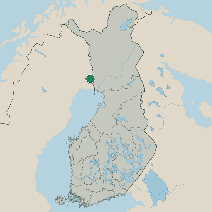
Where is Ylitornio?
Ylitornio lies in Lapland, in the Arctic north of Finland, along the valley of the Tornio river. The municipality follows the river that marks the border with Sweden, with the famous hill of Aavasaksa rising above the water and the country spreading back from the bank into forest, bog, and the thin settlement of the far north. Some of it nears the Arctic Circle.
Across the river stands the Swedish town of Övertorneå, and the old farms of the riverbank string out along the water through the northern country.
What is the climate of Ylitornio?
Ylitornio has a hard subarctic climate. Winters are long, cold, and dark, with deep, lasting snow across the forests and the frozen Tornio river and the sun staying low or gone through the depth of the polar dark in the Arctic north. Summers are short and brilliant.
The midnight sun rides above the horizon for weeks, drawing visitors to Aavasaksa and the riverbanks through the brief, green height of the northern year before the cold returns. Spring and autumn pass quickly between the two.
How do you get to Ylitornio?
Ylitornio is reached by road through Lapland along the Tornio river. The main route follows the valley north from the coast, the usual way into the municipality for most travellers, and an international bridge crosses the river to the Swedish town of Övertorneå on the far bank. Buses serve the village along this road.
The nearest railway and airport lie in the larger towns down toward the coast, the regional gateways to the far north, while local roads run out to Aavasaksa and the outlying parts of the municipality.
Where Ylitornio sits
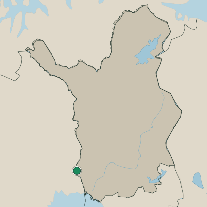
Boundaries © geoBoundaries (CC BY) & Wikidata (CC0); water & neighbours: Natural Earth.