Iraq
Al-Anbar Governorate, Iraq — Towns & Travel Guide


Al-Anbar is Iraq's largest governorate: a green Euphrates ribbon of Ramadi and Fallujah threading a vast desert west toward Syria and Jordan.
About Al-Anbar Governorate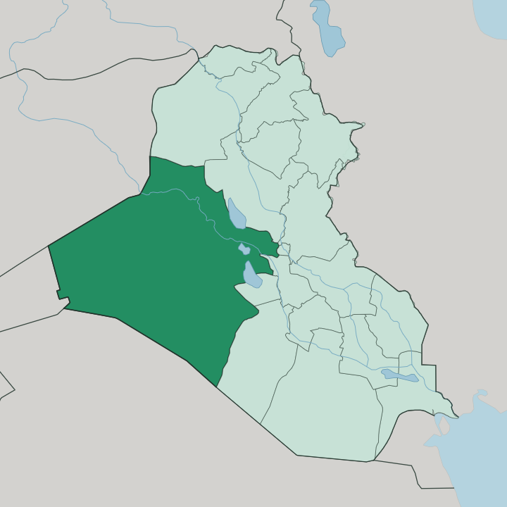
Towns & cities in Al-Anbar Governorate
Pick a town or city — each links to where to stay.
 Iraq
Iraq
Al Fallūjah
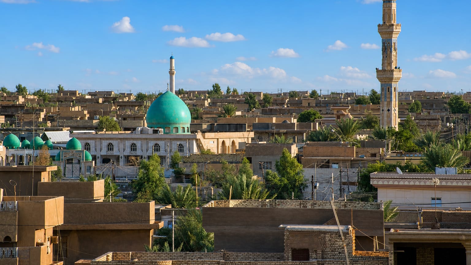
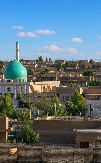
Al Fallūjah is a city in the Al-Anbar Governorate of Iraq, an Arabic-speaking settlement on the plains of the historical Anbar region.Where to stay →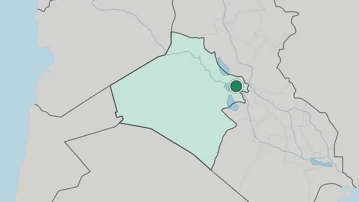
About Al-Anbar Governorate
What is Al-Anbar Governorate known for?
Al-Anbar is the biggest of Iraq's governorates. It is mostly desert. The Euphrates cuts a single green line across that emptiness, and nearly all the life of the province gathers along its banks, from the market towns upriver down to the two cities near Baghdad.
Ramadi, the capital, and Fallujah both stand on the water. Beyond it lies the Syrian Desert, running to the frontiers with Syria, Jordan and Saudi Arabia. Date palms and irrigated fields crowd the banks; a few miles out, the ground turns to bare brown steppe.
Where is Al-Anbar Governorate?
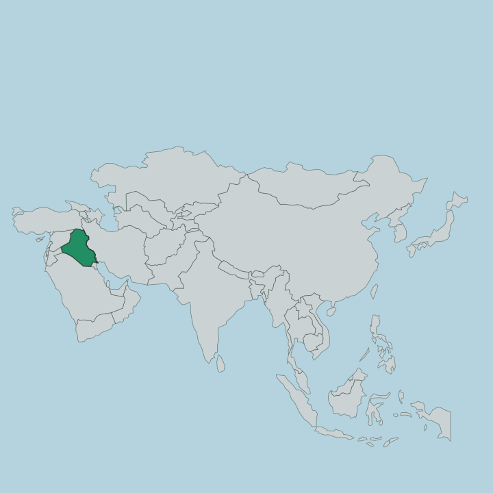
Al-Anbar fills the whole western wedge of Iraq, the country's largest governorate and by far its emptiest. It alone accounts for close to a third of Iraqi territory. Almost all of that is the Syrian Desert, a flat expanse of steppe and stone that runs on to the borders with Syria, Jordan and Saudi Arabia.
One river breaks the monotony. The Euphrates enters from the north-west near the town of Al-Qa'im and slants down through the province toward Baghdad, and every town of any size clings to its banks. Hit marks where the river leaves its gorge and spreads onto the sedimentary plain.
Below it come Haditha, then Ramadi and Fallujah, the two big cities, sitting on the water only a short drive apart to the west of the capital. Between them lies Lake Habbaniyah, and upstream the Haditha Dam pools the river into a long reservoir called Lake Qadisiyah. Away from that green corridor the land empties out fast.
Rutbah, out on the plateau toward Jordan, is often called the most isolated town in Iraq. The contrast is the whole geography of the place: a thin thread of palm groves and irrigated fields, and desert in every other direction.
What is Al-Anbar Governorate like?
Al-Anbar is Arab, Sunni and, above all, tribal. The Dulaim confederation is the great name here, one of the largest tribal groupings in the whole Arab world, and its sheikhs carry weight that maps and ministries do not. Arabic is the everyday tongue.
Loyalty runs first to family and clan, then to town, then to the wider province, and hospitality toward a guest is close to an obligation rather than a courtesy. Daily life divides between river and desert. Along the Euphrates the culture is settled and agricultural, built on date palms, riverbank orchards and the old market towns of Hit and Haditha, where wooden water-wheels still turn.
Out on the steppe the older Bedouin rhythms survive among herding families who read the land for grazing. Faith threads through both worlds, and the mosque anchors every town. Meals lean on lamb, flatbread and river fish grilled in the masgouf style over open flame.
The people of Al-Anbar have a reputation across Iraq for plain speech, independence and a stubborn attachment to their own soil.
What is the history of Al-Anbar Governorate?
The land is very old. Near modern Fallujah stood the city of Anbar, fortified by the Sasanian king Shapur I in the 3rd century as Peroz-Shapur to guard his empire against Rome at a great crossing of the Euphrates. Its Persian name meant a storehouse or granary, and the town served as a caravan halt on the desert road toward Syria.
After the Arab conquest it briefly held the seat of the Abbasid caliphs, until the founding of Baghdad in 762 drew power downriver. The whole province still carries that ancient name.
What is the climate of Al-Anbar Governorate?
Al-Anbar is desert-dry. This is one of the harshest climates in Iraq, where summer heat on the open steppe turns punishing while winter nights on the plateau at Rutbah can drop close to freezing. Rain barely comes; the province averages only about 115 millimetres a year, most of it falling in a few winter weeks.
The Euphrates, not the sky, keeps the towns alive, and the greenery along the banks is irrigation rather than rainfall. Clear skies dominate, and dust storms blow up off the desert through the hot months.
How do you get to Al-Anbar Governorate?
Nearly everyone comes overland from Baghdad. Fallujah lies only about 70 kilometres west of the capital and Ramadi a little beyond, both reached by the main highway that runs along the Euphrates. From the west, the long desert road up from Amman and the Jordanian frontier crosses the province through Rutbah before joining the river towns.
There is no busy passenger airport out here for visitors. The river corridor is the artery, and travel means following the Euphrates in or out.
Good for
Updated July 2026