Iraq
Duhok Governorate, Iraq — Towns & Travel Guide


Duhok Governorate is the mountainous northwestern corner of Iraq, a Kurdistan Region province of valley towns, the Tigris, and the old Badinan emirate.
About Duhok Governorate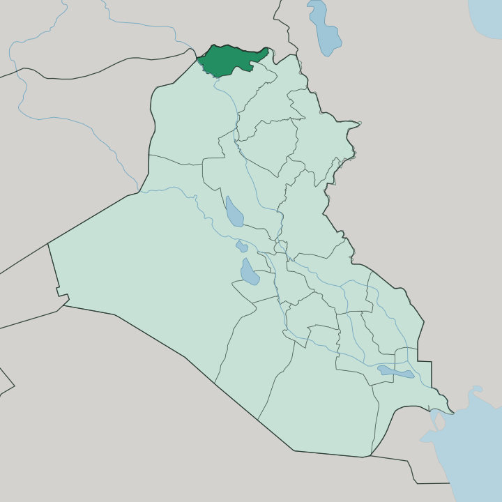
Towns & cities in Duhok Governorate
Pick a town or city — each links to where to stay.
Base yourself in Duhok. The capital is a compact city in a valley between the Bekhair and Zawa ranges, with the closest range of hotels and the shortest hops to the province's sights. Day trips reach almost everywhere.
Zakho makes sense if you are crossing the Turkish border at Ibrahim Khalil, sitting on the Little Khabur beside the old Delal Bridge. Amedi rewards those who want the mountains at their feet, a stone town on a mesa high in the Great Zab valley. Beds thin out fast once you leave the capital, so most travellers stay in Duhok and drive out.
About Duhok Governorate
The Bekhair and Zawa ranges wall in Duhok Governorate.
What is Duhok Governorate known for?
Duhok Governorate is the northwestern of the four Kurdistan Region provinces, wedged against the Turkish and Syrian borders in the far north of Iraq. Its capital, Duhok, sits in a valley pressed between the Bekhair and Zawa ranges, with the Duhok Dam holding back a lake just north of the city. Travellers come for that highland scenery.
Beyond it lie the historic towns: the mesa fortress of Amedi and the border town of Zakho on the Little Khabur. The Great Zab drains its eastern reaches toward the Tigris.
Where is Duhok Governorate?
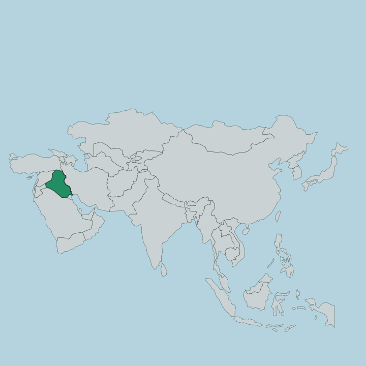
Duhok Governorate fills the northwestern corner of Iraq, the farthest of the Kurdistan Region's provinces from Baghdad. Turkey lies along its northern edge and Syria's Al-Hasakah to the west, so two international borders frame the province. This is upland country.
Ridges and folded ranges run across most of it, rising toward the high Turkish frontier, and the flat Mosul plain only laps at its southern rim. The capital, Duhok, sits in a narrow valley squeezed between the Bekhair range to the north and the Zawa range to the south, with the Duhok River threading through and the Duhok Dam impounding it just above the city. Water organises the rest.
The Tigris runs along the province's southwestern flank, marking part of the boundary with the plain below, while the Great Zab, one of the Tigris's great tributaries, gathers the eastern valleys around Amedi before turning south. In the west the Little Khabur slips past Zakho and out to the Turkish border a few kilometres on. Amedi stands apart from all of it, a town built on the flat top of a mesa above the surrounding valley, reached by a road that climbs to a single old gate.
Nowhere here is far from a mountain.
What is Duhok Governorate like?
This is Kurdish heartland. The province is overwhelmingly Kurdish and speaks Kurmanji, the northern branch of the language, in the local Badini form that took its name from the old Bahdinan emirate. Alongside the Muslim Kurdish majority live Assyrian and Chaldean Christians, Yazidis, and small Armenian and Arab communities, a mix written into the churches, mosques, and shrines scattered through the valleys.
Duhok itself carries the everyday texture of the region. Markets, kebab houses, and tea gardens fill the capital, and the University of Duhok and the American University of Kurdistan draw students from across the north. Weekends turn outward toward the land.
Families drive up to the Duhok Dam lake for picnics and jet skiing, or higher into the hills for the waterfalls and cool air that the summer heat makes precious. Amedi anchors the older identity, its mesa and single gate a fixture of Kurdish memory, the seat from which the Bahdinan princes ruled for centuries before the Ottomans dissolved the emirate. Hospitality here is direct, unhurried, and taken seriously.
What is the history of Duhok Governorate?
These valleys are old ground. Amedi was an Assyrian stronghold long before it became the capital of the Bahdinan emirate, the Kurdish principality that ruled the region from around the fourteenth century until the Ottomans finally dissolved it in 1843 and folded its lands into the province of Mosul. The emirate gave the whole district its lasting name, Badinan, and its dialect.
Duhok Governorate itself is a modern creation, carved out of Nineveh Governorate and established on 27 May 1969, and it later became one of the founding provinces of the autonomous Kurdistan Region in the north of Iraq.
What is the climate of Duhok Governorate?
Duhok has a hot-summer Mediterranean climate, dry and searing from June into September and cool and wet through the winter. Rain falls almost entirely in the cold half of the year, and snow settles on the higher ridges and around Amedi. The valley bakes in summer.
Spring and autumn are the kind seasons, when the hills around the Duhok Dam turn green and the temperature drops to something worth walking in. The mountains keep the highland towns cooler than the plain below.
How do you get to Duhok Governorate?
Most travellers fly into Erbil International Airport and drive north, a run of roughly 160 kilometres that takes two and a half to three hours on the main dual carriageway. The other common approach is overland from Turkey. From the Turkish side you cross at Ibrahim Khalil into Zakho, then follow the road southeast about an hour to the capital.
Roads are good. Inside the province, a hired car is how you reach Amedi and the Duhok Dam, since public transport thins out once you leave the towns.
Good for
Updated July 2026