Russia
Respublika Adygeya, Russia — Towns & Travel Guide


Respublika Adygeya is a small Circassian republic in Russia's North Caucasus, wrapped entirely inside Krasnodar Krai.
About Respublika Adygeya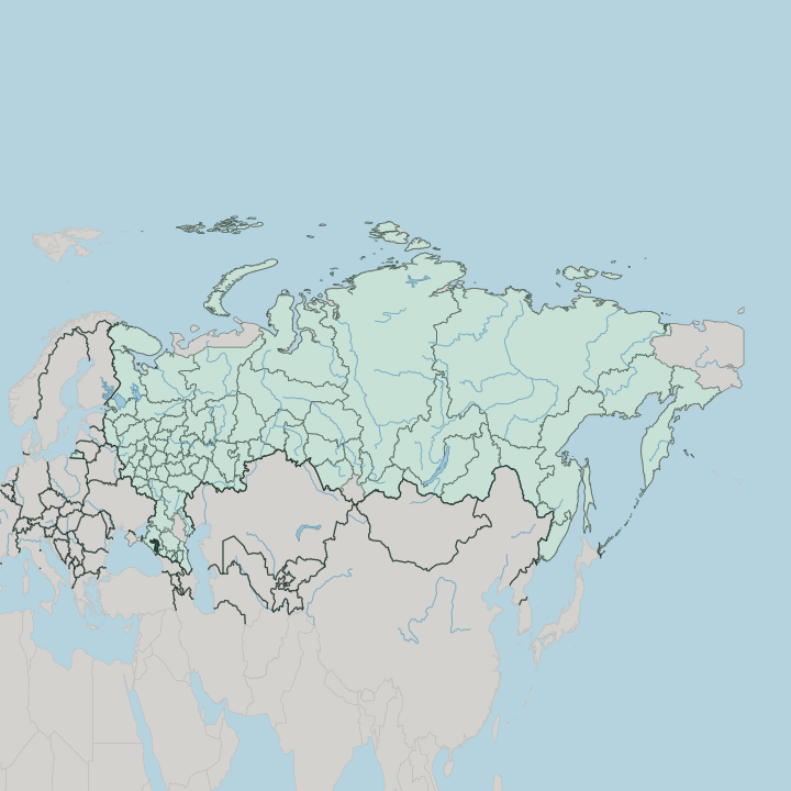
Towns & cities in Respublika Adygeya
Pick a town or city — each links to where to stay.
Maykop is the obvious base, on the right bank of the Belaya River and holding a third of the republic's people. From there the mountain south opens up. Kamennomostsky, the village at the mouth of the Khadzhokh gorge, puts you within walking distance of the Belaya's waterfalls and the road up to Lago-Naki.
Adygeysk sits apart in the north beside the Krasnodar Reservoir, a quieter lowland alternative. Choose Maykop for arrivals and services; head into the mountains around Kamennomostsky when hiking and rafting are the point of the trip.
About Respublika Adygeya
Mountains and Circassian heritage define it.
What is Respublika Adygeya known for?
Respublika Adygeya rises from flat Kuban farmland in the north to the peaks of the Caucasus Mountains in the south, where Mount Fisht and the Lago-Naki plateau draw hikers. The Belaya River cuts through it, carving the gorges and waterfalls near Kamennomostsky that make the republic a rafting and trekking base. Maykop is the capital, and the Adyghe people give the place its name and its second official language.
Where is Respublika Adygeya?
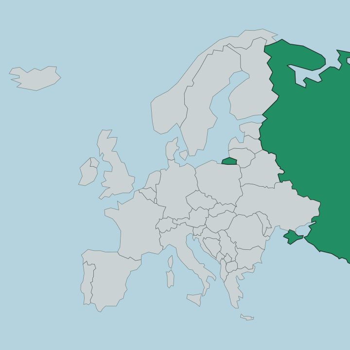
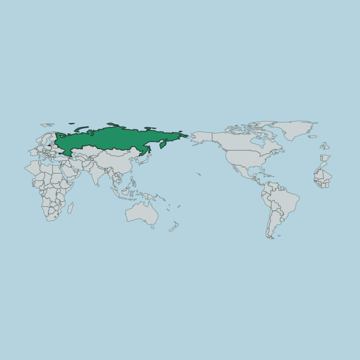
Respublika Adygeya sits in the North Caucasus, in the far south of European Russia. It is landlocked and unusual in shape. The whole republic is an enclave, wrapped on every side by Krasnodar Krai, without a single stretch of external border of its own.
The land tilts from north to south. In the north it is flat Kuban plain, wheat fields and the wide Krasnodar Reservoir on the Kuban River, the river that traces the republic's northern edge. Moving south, the ground climbs.
Forested foothills give way to the high Caucasus Mountains along the whole southern rim, and here Chugush stands as the tallest summit while Mount Fisht anchors the western wall above the Lago-Naki plateau. The Belaya River drains this high country, running north through Maykop to join the Kuban. Just beyond the northern boundary lies Krasnodar, the big city of the surrounding krai.
Forest covers it. Nearly two-fifths of the republic is wooded, and the trees thicken as the road bends south toward the mountain passes.
What is Respublika Adygeya like?
The republic takes its name from the Adyghe, the western branch of the Circassian people native to this corner of the North Caucasus. They are the reason it exists as a distinct republic rather than a plain district of Krasnodar Krai. Adyghe and Russian are both official.
Circassian identity runs through daily life in the traditional moral code known as Adyghe Xabze, in dance and hospitality, and in the Sunni Islam most Adyghe follow. Russians form the larger share of the population, with Adyghe the biggest minority and Armenians a smaller community, so Maykop feels like a mixed provincial Russian city carrying a strong Circassian thread. Markets sell the salty, squeaky Adyghe cheese the republic is known for across Russia.
Food, festivals and craft keep the older Caucasus culture alive. Much of that heritage survived a hard past, and the Circassian diaspora abroad still looks back to Adygeya and the wider North Caucasus as a homeland.
What is the history of Respublika Adygeya?
People have lived here a very long time. The Bronze Age Maykop culture, named for finds near the capital, left rich burial mounds across the Kuban region thousands of years ago. The Adyghe are the modern heirs of that Circassian country.
Soviet authorities carved out an Adyghe autonomous oblast in 1922, and in 1991 that territory was raised to the full republic within Russia. What was once an ethnic district became a republic in its own right.
What is the climate of Respublika Adygeya?
Two climates share one small republic. The Kuban lowlands in the north are warm and humid, close to subtropical, with hot summers and mild winters that rarely bite hard. Climb south toward Mount Fisht and the Lago-Naki plateau and it turns alpine, cooler and far snowier, the high peaks holding white late into spring.
Rain and snowmelt feed the Belaya River, which runs high and fast when the mountain snow gives way. Pack for both.
How do you get to Respublika Adygeya?
The republic has no airport of its own. Almost everyone flies into Krasnodar, in the surrounding krai, then covers the last stretch to Maykop by road. Trains do reach Maykop, but only a handful of regional services run, so most travellers arrive from Krasnodar or Belorechensk by bus or car.
From Maykop a single mountain road climbs south through Kamennomostsky toward the Lago-Naki plateau, and that road is how you reach the gorges and trailheads.
Good for
Updated July 2026