Russia
Respublika Kareliya, Russia — Towns & Travel Guide


Respublika Kareliya is a lake-strewn taiga region of northwest Russia, stretching from the Finnish border across to the White Sea.
Find your area →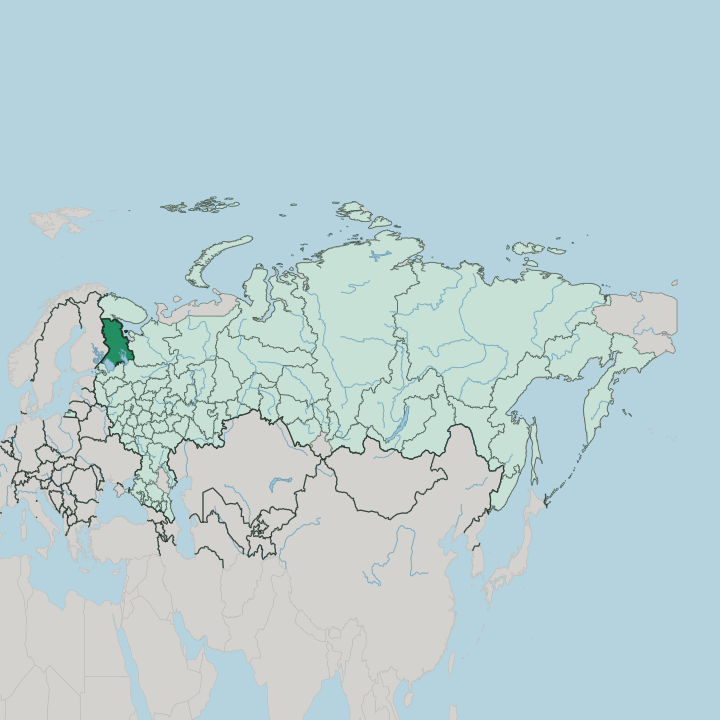
Towns & cities in Respublika Kareliya
Pick a town or city — each links to where to stay.
 Russia
Petrozavodsk
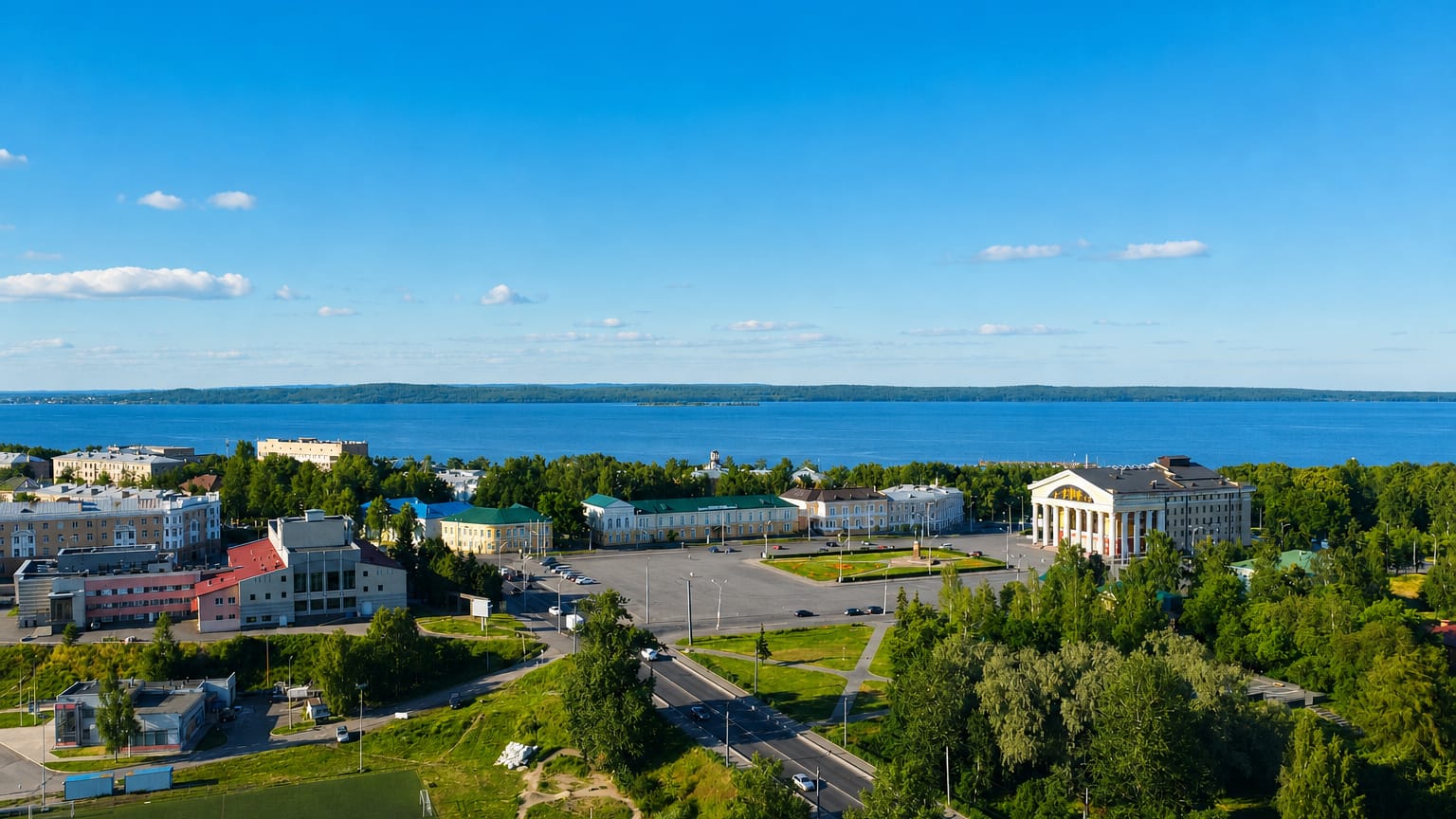
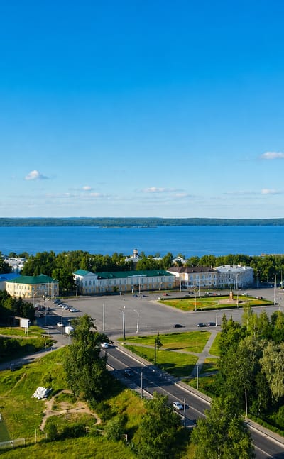
Petrozavodsk lines the western shore of Lake Onega, the capital of the Republic of Karelia, Russia, founded in 1703 around its ironworks.Where to stay →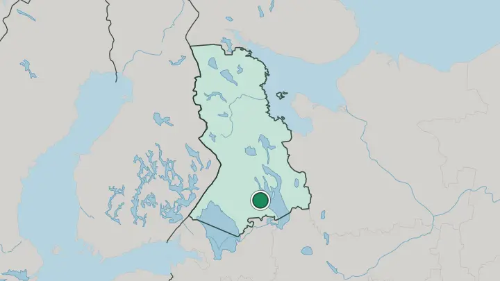
About Respublika Kareliya
Lakes and wooden churches define Respublika Kareliya.
What is Respublika Kareliya known for?
It holds the two largest lakes in Europe, Lake Ladoga and Lake Onega, and on an island in Onega stand the multi-domed wooden churches of Kizhi Pogost. This is the land that gave the world the Kalevala, the runo-song epic that Karelian singers carried for centuries before it was written down. Petrozavodsk sits on Onega's western shore, and Finland lies along the whole western edge.
Where is Respublika Kareliya?
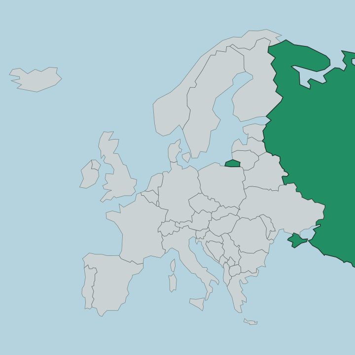
Respublika Kareliya fills a broad slice of northwest Russia between Finland and the White Sea. Across Karelia, water dominates the map. The surface is a flat, ice-scoured plain of taiga forest laced with tens of thousands of lakes, the largest of which are Lake Ladoga in the south and Lake Onega just north of it.
Finland runs the length of the western border. The White Sea bites into the northeast coast, a cold arm of the Arctic Ocean reaching down between the forests. Two ice ages left their mark on the ground itself.
In the south, long ridges of glacial gravel divide finger-shaped lakes and swampy hollows; in the north the ice stripped the land back to bare rock, leaving thousands of shallow lake-filled basins between the outcrops. Pine, spruce, and birch cover roughly half the republic. Petrozavodsk stands on the western shore of Lake Onega, the one large city on an otherwise thinly settled expanse of forest and shoreline.
What is Respublika Kareliya like?
Kareliya's culture is Finnic at its root, shaped by the same forests and lakes it shares with Finland. The old tongue survives. Karelian, a Finnic language close to eastern Finnish, was made an official language of the republic alongside Russian and Veps, and it still colours place names across the taiga.
It was from these villages that Elias Lönnrot gathered the runo songs he wove into the Kalevala, the epic that later gave Finland much of its national self-image. Wood is the material of the old culture here. Kizhi Pogost, on its island in Lake Onega, raises churches built entirely of timber, their scaled domes fitted without nails in a carpentry tradition passed down through generations.
Petrozavodsk carries the modern life of the republic, with its university, theatres, and museums. Beyond the city the rhythm is quieter, tied to the lakes, the fishing, and the long summer light.
What is the history of Respublika Kareliya?
Peter the Great founded Petrozavodsk in 1703 as an ironworks casting cannon for his war with Sweden, and the town's name still means the tsar's iron factory. The republic came later. Karelia was made an autonomous republic within Soviet Russia in 1923, and through the 1930s the White Sea-Baltic Canal was cut by forced labour to link Lake Onega to the White Sea.
It has been a first-level republic of the Russian Federation since 1991.
What is the climate of Respublika Kareliya?
Kareliya runs cold and snowy through a long taiga winter, with short, cool summers between. Winter holds the ground. Lakes as large as Onega and Ladoga freeze hard enough to cross, and snow lies for months across the northern forests.
Summer is brief but bright, its near-endless daylight drawing travellers to the White Sea coast and the lakes before the cold returns.
How do you get to Respublika Kareliya?
Most travellers reach Kareliya by train. Petrozavodsk sits on the main Saint Petersburg-Murmansk line, an overnight ride north of the old imperial capital, with branches west to Sortavala near the Finnish border. Its airport handles the region's flights.
Once here, boats cross Lake Onega to Kizhi Pogost and the far shores, while road and rail thread on north toward the White Sea.
Good for
Updated July 2026