Russia
Dagestan, Russia — Towns & Travel Guide


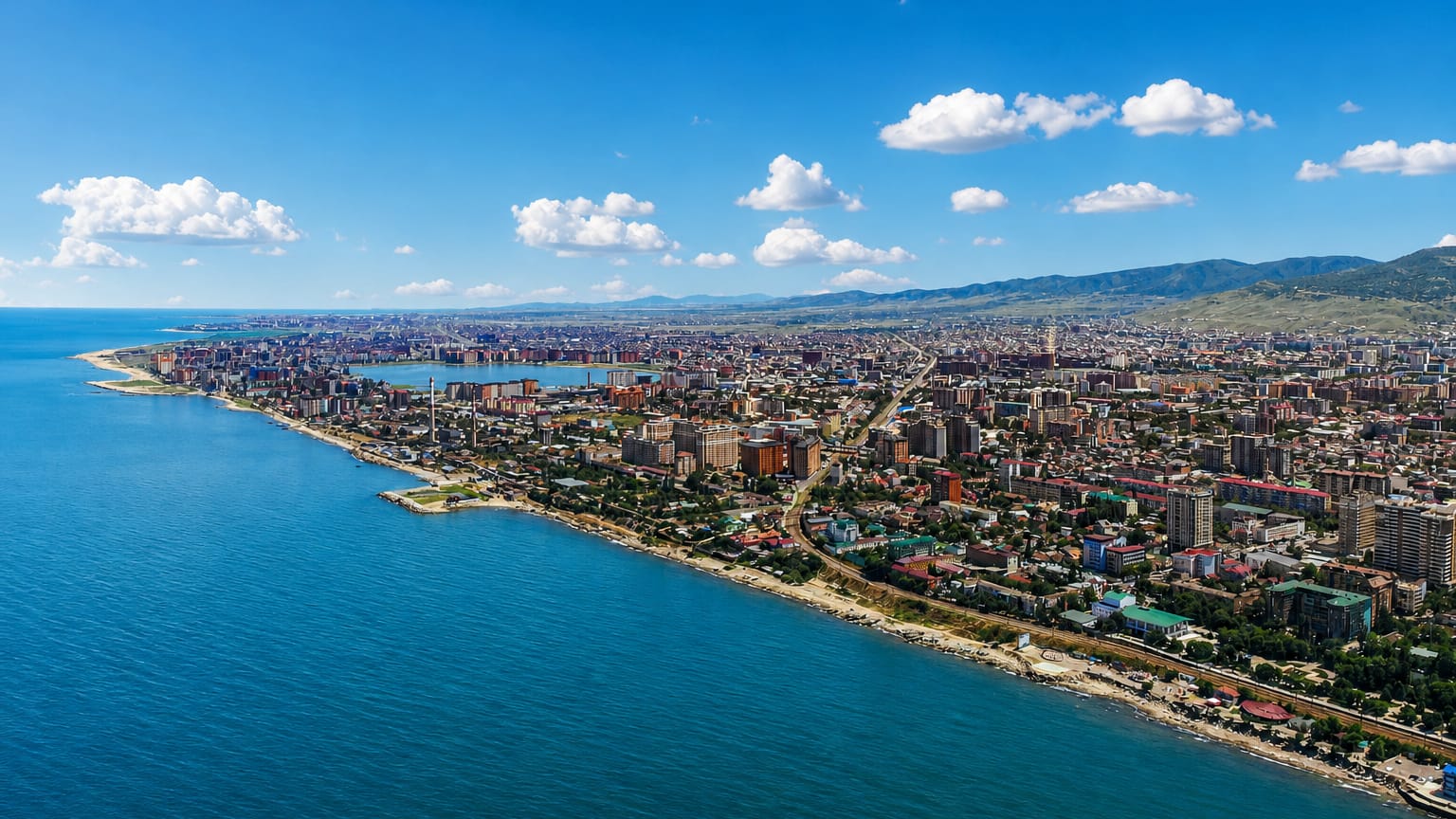
Dagestan is Russia's southernmost republic, a wall of Caucasus mountains meeting the Caspian Sea, ruled from Makhachkala.
Find your area →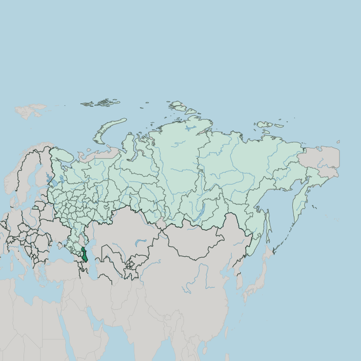
Towns & cities in Dagestan
Pick a town or city — each links to where to stay.
 Russia
Makhachkala
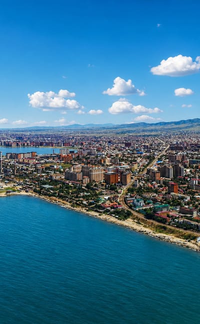
Domes and minarets share the skyline of Makhachkala, the capital of Dagestan, known for the Makhachkala Lighthouse and the National Museum of the Republic…Where to stay →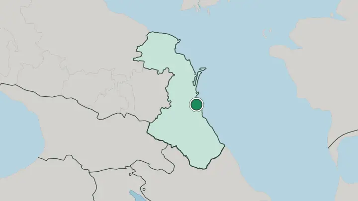
 Russia
Derbent
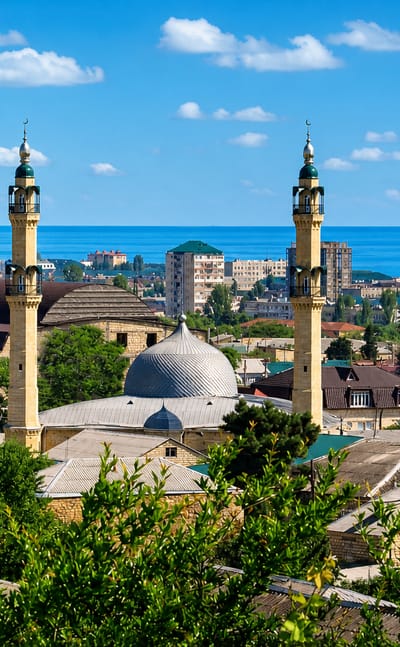
Derbent is an ancient walled city in Dagestan, Russia, set between the Caspian Sea and the Caucasus Mountains and guarded by the Naryn-Kala citadel.Where to stay →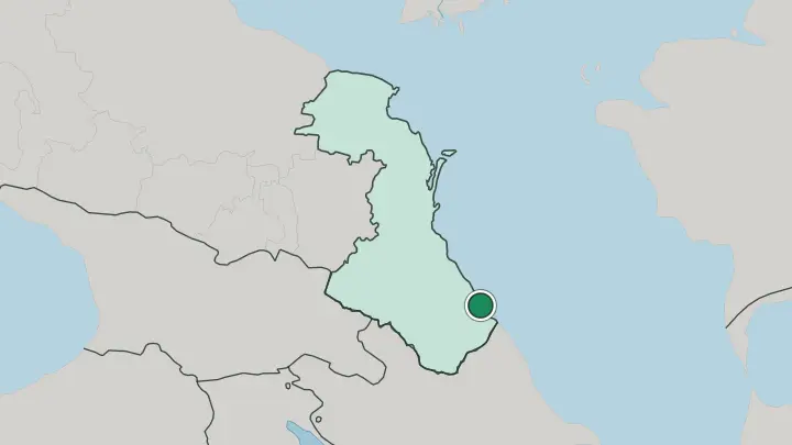
About Dagestan
The name says it.
What is Dagestan known for?
Dagestan means "land of the mountains" in Turkic and Persian, and the Greater Caucasus fills its southern half with some thirty peaks above 4,000 metres. Its eastern edge runs along the Caspian Sea. Down that shore stands Derbent, which claims to be the oldest city in Russia and guards a Persian citadel raised above the water.
More than thirty ethnic groups share this ground, among them the Avar, the Dargin and the Lezgin, which makes it the most linguistically crowded corner of the whole country. Makhachkala, the capital, is the largest city on the Russian side of the Caspian.
Where is Dagestan?
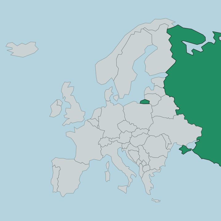
Dagestan occupies the far south-eastern corner of Russia, where the country runs out of land. Its whole eastern flank is the Caspian Sea, some 405 kilometres of coastline on the largest inland sea in the world. Behind that coast the ground climbs fast.
The Greater Caucasus fills the southern two-thirds of the republic, a dense knot of ridges and gorges holding around thirty summits above 4,000 metres. Rivers cut through it hard. The Sulak has carved Sulak Canyon into the rock, a gorge running deeper in places than the Grand Canyon and counted among the deepest in the country.
Beyond the mountains the land flattens into dry steppe and semi-desert. Out of that plain the Sarykum dune rises as one of the largest single sand dunes anywhere in Europe. Azerbaijan borders the republic to the south and Georgia to the south-west, while the Russian territories of Chechnya, Kalmykia and the Stavropol Krai ring the western and northern edges.
Makhachkala sits halfway down the coast. From there the republic splits cleanly in two, wet green highlands on one side and flat sun-baked plain on the other. Water and rock have drawn every border that matters here.
What is Dagestan like?
No other part of Russia holds so many peoples in one place. More than thirty ethnic groups live across Dagestan, most of them speaking languages of the Northeast Caucasian family that exist nowhere else on earth. The Avar are the largest, followed by the Dargin, the Kumyk and the Lezgin, and a dozen more each hold their own valley and their own tongue.
Fourteen of those languages carry official status. Sunni Islam binds the mosaic together. Faith arrived early here, through Derbent, the first place inside modern Russia to take up the religion after the Arab conquest of the shore.
The old mountain villages keep crafts that travelled the Silk Road, and each one guards its speciality. Kubachi is famed for its silverwork and engraved steel, Balkhar for its hand-thrown pottery, Untsukul for wood inlaid with metal wire. Hospitality is a serious matter in these auls.
A guest is owed food, shelter and protection by an unwritten code older than the borders. The food follows the mountains, built around lamb, apricots and the folded dumpling called khinkal that turns up at every table. Dance and song run through weddings and festivals, and the lezginka is danced from the coast to the highest village.
What is the history of Dagestan?
Derbent has stood guard since the sixth century, when the Persian ruler Khosrow I closed the narrow gap between the Caucasus and the Caspian with the Naryn-Kala citadel and its long walls. That gate earned the coast its old name, the Caspian Gates. Empires took turns holding it.
Later the mountains bred a fierce resistance to the Russian Empire, and Imam Shamil led it for a quarter of a century until his surrender at the fortress of Gunib in 1859 ended the eastern Caucasian War. Dagestan has been part of Russia ever since, taking its present form as a republic in 1991.
What is the climate of Dagestan?
The southern tip of Russia warms early. Dagestan stays mild far longer than anywhere else in the country, and the coast around Makhachkala runs dry and gentle, with hot summers and short winters where snow rarely settles. The mountains keep their own weather.
Climb into the Greater Caucasus and it turns sharply colder and wetter, with real snow closing the high passes through the cold months. Spring through autumn is the season for the highlands. Travellers come from April, once the canyons open, until November, before the snow returns.
How do you get to Dagestan?
Most visitors fly straight into Makhachkala. Uytash Airport sits about 30 kilometres from the city and takes regular flights from Moscow and other Russian cities. The alternative is the long haul overland: one daily train grinds down from Moscow in well over a day and a half, and buses run the coast road from Rostov and Krasnodar.
Once you land, everything is a road trip. A car or a hired driver reaches Derbent down the coast, Sulak Canyon to the north-west and the mountain villages of the interior, none of them on a rail line.
Common questions
What is the best area to stay in Dagestan?
Makhachkala: arriving in Dagestan and the Caspian beaches. Derbent: the ancient walled city and its fortress.
Good for
Updated July 2026