Turkey
Kayseri, Turkey — Towns & Travel Guide


Kayseri is a province of central Turkey below Mount Erciyes, an extinct volcano and the highest peak in central Anatolia.
Find your area →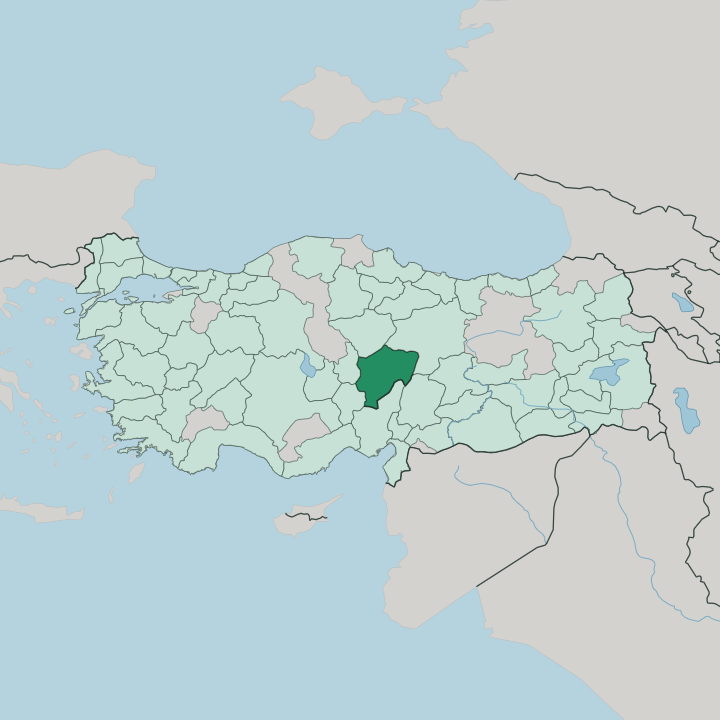


Towns & cities in Kayseri
Pick a town or city — each links to where to stay.
 Turkey
Kayseri
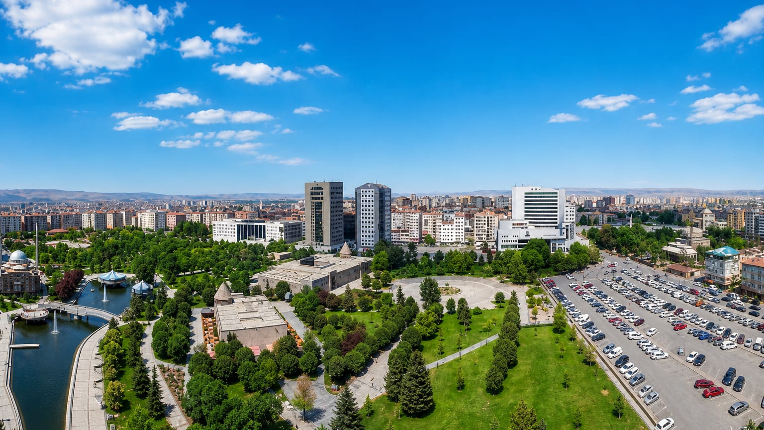
Stone walls ring the old core of Kayseri, a city in Central Anatolia, Turkey, known as ancient Caesarea and long the capital of Cappadocia.Where to stay →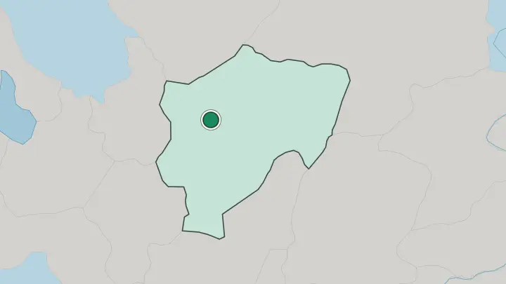
About Kayseri
What is Kayseri known for?
Two things carry Kayseri's name across Turkey: Mount Erciyes and pastırma. The old volcano holds one of Turkey's largest ski resorts on its northern slopes, a short drive from the provincial capital at Kayseri. The city itself is famous for trade, a merchant reputation as old as the Silk Road caravans that once crossed this stretch of Anatolia.
Its kitchens are just as well known. Kayseri makes the country's benchmark pastırma, air-dried beef sheathed in fenugreek paste, and a fingernail-sized version of mantı that cooks pride themselves on folding forty to a spoon. Seljuk stonework fills the centre.
Where is Kayseri?
Kayseri lies in the middle of Turkey, on the high, dry floor of the Anatolian plateau. Mount Erciyes rules the skyline. The extinct volcano rises nearly three thousand metres above the southern edge of the provincial capital, its lava domes reaching almost into the suburbs, and snow holds on the summit long after the plain below has thawed.
The land around it is open steppe, cut by shallow river valleys and rimmed by mountains. A ring of six neighbouring provinces encloses the province. Sivas and Yozgat sit to the north, Nevşehir and the tufa country of Cappadocia to the west, Niğde to the south-west, and the Taurus ranges divide it from Adana and Kahramanmaraş along the southern rim.
Rivers and marshes carve out the remainder of Kayseri. The Kızılırmak, the longest river running entirely within Turkey, curves past the northern edge of the province, while the Zamantı winds through the southern districts and gathers the meltwater that bursts from the cliff-foot Kapuzbaşı waterfalls. Down in the flatland toward Develi, the Sultan Marshes spread a shallow reed-bed lake, Lake Yay, that draws flamingos and cranes by the thousand.
The Aladağlar wall off the southern horizon. These limestone peaks, an arm of the Taurus, keep their snowfields into summer and feed the springs below.
What is Kayseri like?
Kayseri has a reputation across Turkey for commerce. Its merchants and factory owners are a national byword for hard bargaining and thrift, and the province ranks among the manufacturing centres that earned central Anatolia the nickname of the Anatolian tigers. Food is the other obsession.
The covered Pastırmacılar Çarşısı, the pastırma bazaar, hangs with slabs of air-dried beef crusted in çemen, a paste of fenugreek, garlic and red pepper. Sucuk, a spiced sausage, is fried with eggs at breakfast. And the local mantı are famously minuscule, pinched so small that a proud cook fits forty dumplings on one spoon under a slick of yoghurt and chilli butter.
The old centre is a museum of Seljuk stonework. The black-basalt Kayseri Castle anchors it, ringed by the thirteenth-century Hunat Hatun complex, a mosque, madrasa and tomb raised by a sultan's wife, and the Gevher Nesibe, a teaching hospital and medical school from the same era, among the earliest anywhere. Carpets are woven in the hill towns.
Bünyan and Yahyalı send their hand-knotted rugs to markets across the country. Turkish is the language of all of it, spoken with the blunt, teasing humour that other Turks associate with the place.
What is the history of Kayseri?
The city began as Mazaca, seat of the kings of Cappadocia, and took the name Caesarea when Rome made it the capital of its Cappadocian province. Christianity struck deep roots here; Basil the Great built a church and hospital settlement outside the walls in the fourth century. War followed.
Seljuk armies wrecked the town in 1067, the Danishmendids rebuilt it in 1134, and under the Sultanate of Rum it grew into one of Anatolia's great medieval cities before the Mongols took it in 1243. It passed to the Eretnids, then to the Ottomans in 1397.
What is the climate of Kayseri?
Altitude sets the weather here, not the sea. The plateau sits around a kilometre above sea level, so Kayseri runs a dry continental climate of cold winters and warm, rain-scarce summers, with a sharp swing between day and night. Snow is normal from late autumn.
It piles deep enough on Mount Erciyes to run a ski season from roughly November into March, long after the plain has cleared. The shoulder seasons pass quickly on this plateau.
How do you get to Kayseri?
The airport is how most reach Kayseri. Kayseri Erkilet Airport, on the northern side of the city, handles domestic flights from Istanbul and Ankara and seasonal charters, and it sits close enough to Mount Erciyes to put skiers on the slopes within the hour. Trains matter too.
The main line through the city links Ankara in the west with Sivas to the east. By road, motorways run south to Adana over the Taurus passes and west into the Cappadocia valleys around Nevşehir.
Common questions
What is the best area to stay in Kayseri?
Kayseri: a first base near Kayseri Castle.
Good for
Updated July 2026