United States · Utah · Salt Lake City
The Avenues, Salt Lake City — Area Guide & Where to Stay
The Avenues is a neighborhood northeast of downtown Salt Lake City on the lower slopes of the Wasatch Mountains, first surveyed in the early 1850s.
Hotel links are affiliate links: booking through them may earn us a commission, at no extra cost to you. It never affects how places are ranked. How this works


Where to stay in The Avenues
The practical side of choosing where to sleep.
The street plan tells you where you are. Numbered avenues run east to west and lettered streets run north to south, which makes an address here self-explanatory in a way the rest of the city is not. It broke the city's original grid.
This was the first part of Salt Lake City to depart from the ten-acre block layout, using smaller blocks and narrower streets, and that is still what the neighborhood feels like on foot. Downtown lies just southwest.
Things to do in and around Salt Lake City
Ranked by global recognition; descriptions from Wikidata (CC0).
Museums & Galleries
3- Church History Museum
- The Leonardo
- Utah Museum of Contemporary Art
Churches & Religious Sites
3- Japanese Church of Christ Heritage
- Iglesia La Luz del Mundo Heritage
- First Presbyterian Church of Salt Lake City
Castles & Historic Sites
3- Matthew Stanford Robison Memorial
- Seagull Monument
- Mormon Battalion Monument
Landmarks & Notable Places
6- Devereaux House Heritage
- Beehive House Heritage
- Simon Bamberger House Heritage
- David Keith Mansion and Carriage House Heritage
- William Culmer House Heritage
Show 1 more →
- Frederick A.E. Meyer House Heritage
worth knowingacross 4 categories in and around Salt Lake City
About The Avenues
What are the main landmarks in The Avenues?
A historic district covers part of it. The Avenues Historic District runs to 487 acres, about 197 hectares, and was listed on the National Register of Historic Places in 1980. Its contents are counted.
One hundred and forty-three contributing buildings stand within it along with one contributing site, which is Brigham Young's Grave. Trolleys shaped the rest. Horse-drawn and then electric service encouraged settlement through the late 19th and early 20th centuries, and the housing stock dates from that.
What is the history of The Avenues?
Surveying began in the early 1850s. The first lots were laid out then, and the area became the first section of Salt Lake City to depart from the city's original ten-acre block grid by using smaller blocks and narrower streets. Transport filled it in.
Settlement was encouraged by horse-drawn and later electric trolley service through the late 19th and early 20th centuries, and by the turn of the 20th century the neighborhood was predominantly middle and upper-middle class. Decline came by the 1960s. What followed was organised locally rather than imposed: people formed the Greater Avenues Community Council to promote revitalization.
Preservation followed in 1980. The Avenues Historic District, 487 acres or about 197 hectares of it, went onto the National Register of Historic Places that year with one hundred and forty-three contributing buildings and Brigham Young's Grave as its one contributing site.
Where is The Avenues?
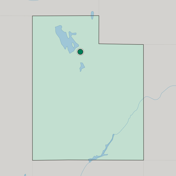
The Avenues lies northeast of downtown Salt Lake City on the lower slopes of the Wasatch Mountains, laid out in numbered east to west avenues and lettered north to south streets.
Good for
More areas in Salt Lake City
Updated October 2026