United States
Utah, United States — Towns & Travel Guide


Utah is a landlocked state of the Western United States, split between the Great Basin, the Wasatch Range, and the red-rock Colorado Plateau.
Find your area →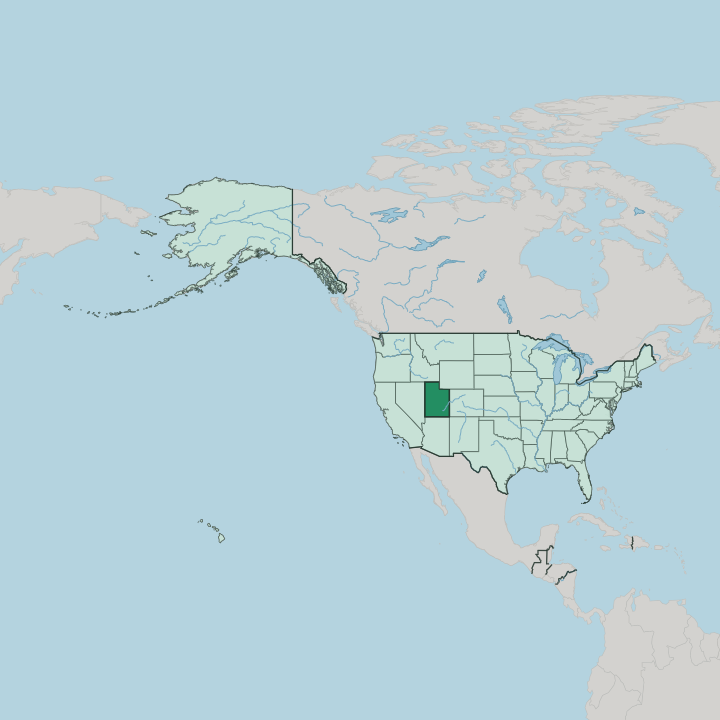
Towns & cities in Utah
Pick a town or city — each links to where to stay.
 United States
Salt Lake City
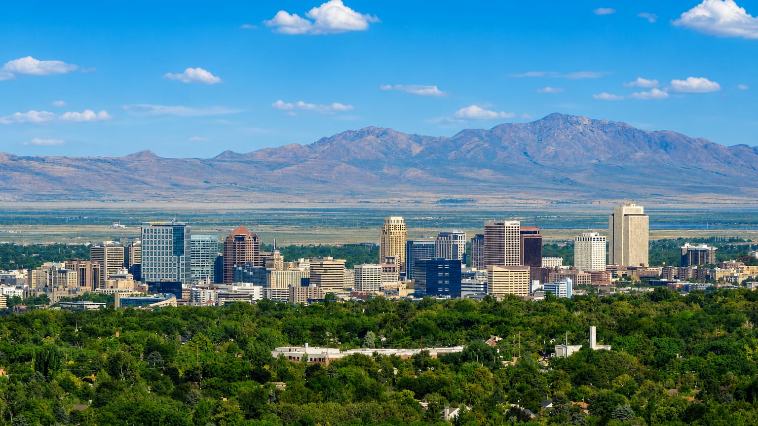
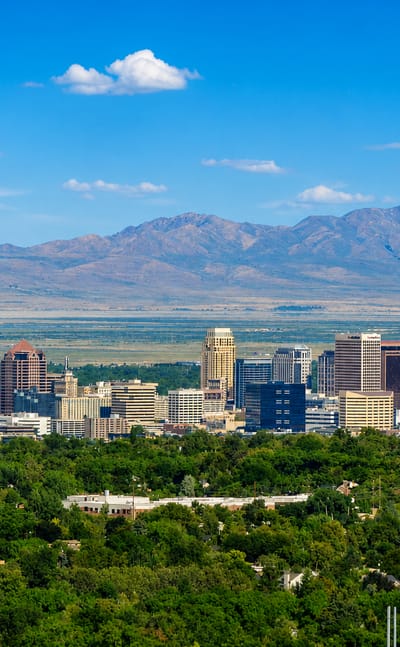
Salt Lake City is the capital of Utah, a mountain-rimmed city founded in 1847 and known for the Beehive House, the Seagull Monument, and Eagle Gate.Where to stay →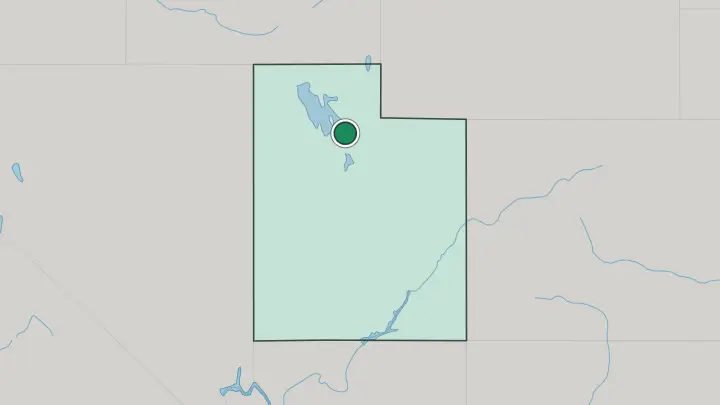
About Utah
Red rock defines the south.
What is Utah known for?
Five national parks protect a desert of slot canyons, sandstone arches, and hoodoo amphitheatres: Zion, Bryce Canyon, Capitol Reef, Canyonlands, and Arches. The Colorado River and its tributaries cut most of that country. Salt Lake City anchors the north, headquarters of the Church of Jesus Christ of Latter-day Saints and host of the 2002 Winter Olympics.
Powder falls thick on the Wasatch Range each winter, feeding the ski resorts above Park City that market it as the greatest snow on earth. The Great Salt Lake spreads west of the capital.
Where is Utah?
Utah sits in the Mountain West, landlocked and far from any coast. It is one of the four states that meet at the Four Corners, its south-eastern tip touching Arizona, Colorado, and New Mexico at a single point. Wyoming lies along the north-east, Idaho across the north, and Nevada down the entire western edge.
The land divides into three. Western Utah belongs to the Great Basin, a sweep of dry valleys and low ranges where rivers run to salt flats and sinks rather than to the sea. The Wasatch Range walls off the basin from the east, and most of the state's people crowd the narrow Wasatch Front at its foot, from Ogden through Salt Lake City to Provo.
North-east of the capital the Uinta Mountains run east to west, an unusual axis for the Rockies, carrying the state's highest peaks. The Great Salt Lake and the bright Great Salt Lake Desert spread across the north-west, remnants of a vast ice-age lake. South and east lies the Colorado Plateau, a tableland of canyons and mesas that the Colorado River and the Green River have cut over millions of years.
Red rock runs to the horizon there.
What is Utah like?
Utah's culture grew from a single migration. The pioneers of the Church of Jesus Christ of Latter-day Saints reached the Salt Lake valley in 1847 and laid out their towns on a wide, numbered grid still walked in Salt Lake City. Temple Square and its granite temple in Salt Lake City remain the symbolic centre of the faith worldwide.
That heritage shows in the state's name for itself, Deseret, and in the beehive it took as an emblem of shared industry. Church influence still shapes daily rhythms across the north, from vast family history archives to the state's cautious liquor laws. Two Utahs coexist.
Along the Wasatch Front, a chain of cities runs from Ogden to Provo, holding universities, tech offices, and the crowds that fill the ski canyons each winter. Beyond them the land empties out. Small ranching and Mormon farm towns dot the red-rock south, and the Ute people, whose name the state carries, hold reservation land in the east.
Outdoor life ties it all together, from skiing the deep snow of the Wasatch Range to rock-climbing the sandstone walls above Moab.
What is the history of Utah?
The Ute people and other tribes lived across this land long before any settler. In 1847 Brigham Young led the first Mormon pioneers into the Salt Lake valley, founding a settlement that seeded hundreds of towns across the desert. The transcontinental railroad's two halves met at Promontory Summit in 1869, joined by a golden spike north of the Great Salt Lake.
Statehood came slowly. Utah entered the Union as the forty-fifth state in 1896, once the Church of Jesus Christ of Latter-day Saints had renounced plural marriage.
What is the climate of Utah?
Dry air rules most of Utah. The Great Salt Lake Desert in the west sees barely any rain, while summer heat bakes the red-rock canyons of the south. Winters are cold across the north, and the Wasatch Range catches deep snowfall as storms rise over it.
Lake-effect moisture off the Great Salt Lake dries into the light powder that fills the ski canyons above Salt Lake City. Sun is the constant. Clear skies outnumber grey ones almost everywhere, and the swing between a freezing night and a warm afternoon can be wide.
How do you get to Utah?
Most visitors fly into Salt Lake City, whose airport is Utah's largest and a major Delta hub, the arrival point for the northern cities and ski canyons. The state is landlocked, so the rest comes by road. Interstate 15 runs the length of the Wasatch Front, and Interstate 80 crosses the north from Nevada toward Wyoming.
For the southern parks, many travellers instead fly into Las Vegas and drive north-east to Zion and beyond. Amtrak's California Zephyr also stops at Salt Lake City. Moab keeps its own small airport.
Common questions
What is the best area to stay in Utah?
Salt Lake City: a first night and the state's main airport.
Good for
Updated July 2026