Chile
Región de Atacama, Chile — Towns & Travel Guide


Región de Atacama is northern Chile's driest region, running from the Pacific up through the Atacama Desert to Ojos del Salado.
About Región de Atacama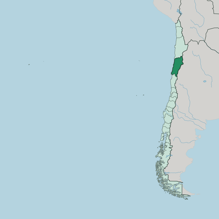
Towns & cities in Región de Atacama
Pick a town or city — each links to where to stay.
Copiapó is the natural base, the regional capital set inland in the valley of the Copiapó River. Coast or valley, take your pick. Caldera and its neighbour Bahía Inglesa hold most of the beach lodging, a short run west of Copiapó along the Pacific.
Vallenar anchors the greener Huasco valley to the south, a quieter farming town of vineyards and olive groves. Choose Copiapó for the desert and the mining country; choose the Caldera coast when you want the sea; choose Vallenar for the Huasco valley to the south.
About Región de Atacama
This is the land of the driest desert on Earth.
What is Región de Atacama known for?
Copiapó, the regional capital, grew rich on silver and copper pulled from the surrounding hills. The Atacama Desert fills most of the region, yet in rare wet years its floor erupts into the Desierto Florido, a bloom of colour across ground that normally shows none. Then there is the sky.
On the eastern edge stands Ojos del Salado, the highest volcano in the world, straddling the border with Argentina. The coast tells a different story again, with white-sand coves like Bahía Inglesa broken along an otherwise stark Pacific shore.
Where is Región de Atacama?
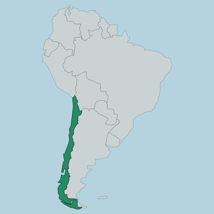
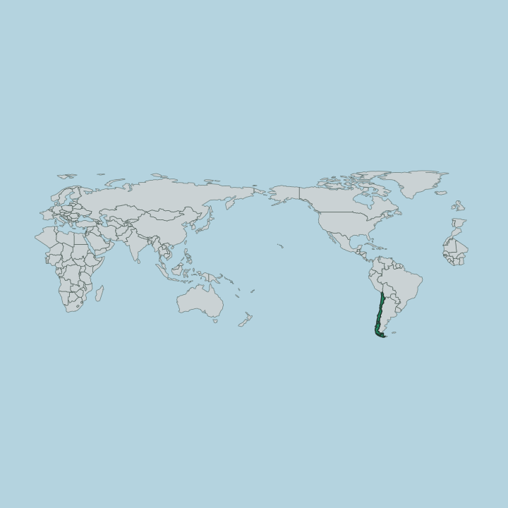
Región de Atacama sits in the near north of Chile, the country's third region counting down from the top. It covers roughly 75,000 square kilometres, close to a tenth of Chilean territory, most of it desert. The Antofagasta Region lies to the north and the Coquimbo Region to the south.
Argentina closes the eastern side along the crest of the Andes, while the Pacific Ocean forms the entire western edge. The land climbs in bands. A narrow coastal shelf gives way to the Atacama Desert across the middle, and the ground keeps rising east until it reaches the high volcanoes of the Andean frontier.
Three river valleys cut through the dryness and carry nearly all of the region's life. The Copiapó River waters the capital and its farms before it reaches the sea near the port of Caldera. Further south the Huasco River feeds the vineyards and olive terraces around Vallenar.
On the eastern rim stands Ojos del Salado, the highest volcano in the world at close to 6,900 metres, rising from the Puna plateau on the line with Argentina. Beyond the valleys, desert. Water is the exception here, not the rule, and every town in the region traces back to a river or a mine.
What is Región de Atacama like?
Mining made this region. The silver strike at Chañarcillo in 1832 pulled fortune-seekers into the hills south of Copiapó and set off Chile's silver rush. That boom paid for Copiapó's ornate nineteenth-century houses and, in 1851, for the first railway ever built in Chile, the line that ran ore down to the port at Caldera.
Copper and iron carry the trade now, but the mining town temper never left. The people here call themselves atacameños, and their pride is tied to rock and metal as much as to any coastline. The desert shapes the culture as firmly as the mines do.
Along the Huasco valley, growers press pajarete, a sweet fortified wine made in these arid transverse valleys and almost nowhere else. Copiapó keeps the old mining archive and museum that hold the region's memory. Faith runs strong here.
It shows most in the Fiesta de la Candelaria, a summer pilgrimage that draws dancing brotherhoods and worshippers into the capital from across the near north. Spanish is the common tongue, spoken with the plain accent of the mining north.
What is the history of Región de Atacama?
Copiapó was founded as a Spanish town in 1744, in a desert valley that had drawn Diaguita farmers and Inca roads long before. Then came silver. In 1832 Juan Godoy found a rich vein at Chañarcillo, touching off a rush that made this desert one of the wealthiest corners of Chile within a generation.
The money built a railway to Caldera in 1851, the first ever laid in the country, and pulled miners in from across the world. When the silver ran out the copper and iron endured.
What is the climate of Región de Atacama?
Rain barely falls here. The Atacama Desert across the region is among the driest places on the planet, and Copiapó averages little more than a centimetre of rain in a whole year. Days run warm and dry, nights turn cold, and the sky stays clear almost without pause.
The coast around Caldera is the exception, where a sea fog called the camanchaca drifts in off the Pacific and softens the mornings. Once in a rare while a wet winter feeds the Desierto Florido, and the desert floor briefly flowers before drying out again.
How do you get to Región de Atacama?
Air travel brings in most people who reach Atacama. Desierto de Atacama Airport, the region's main airport, sits out in the desert between Copiapó and the coast, and flights from Santiago some 800 kilometres to the south touch down in a couple of hours. The long Pan-American Highway also threads the whole region north to south, linking Copiapó, Vallenar and Caldera by road.
Buses run that same spine. From Copiapó the mountain roads climb east toward Ojos del Salado, while the coast road drops west to Caldera and Bahía Inglesa.
Good for
Updated July 2026