Chile
Región de la Araucanía, Chile — Towns & Travel Guide


Región de la Araucanía is Chile's lake-and-volcano south, where the Andes, the Mapuche heartland and the pehuén forests meet.
About Región de la Araucanía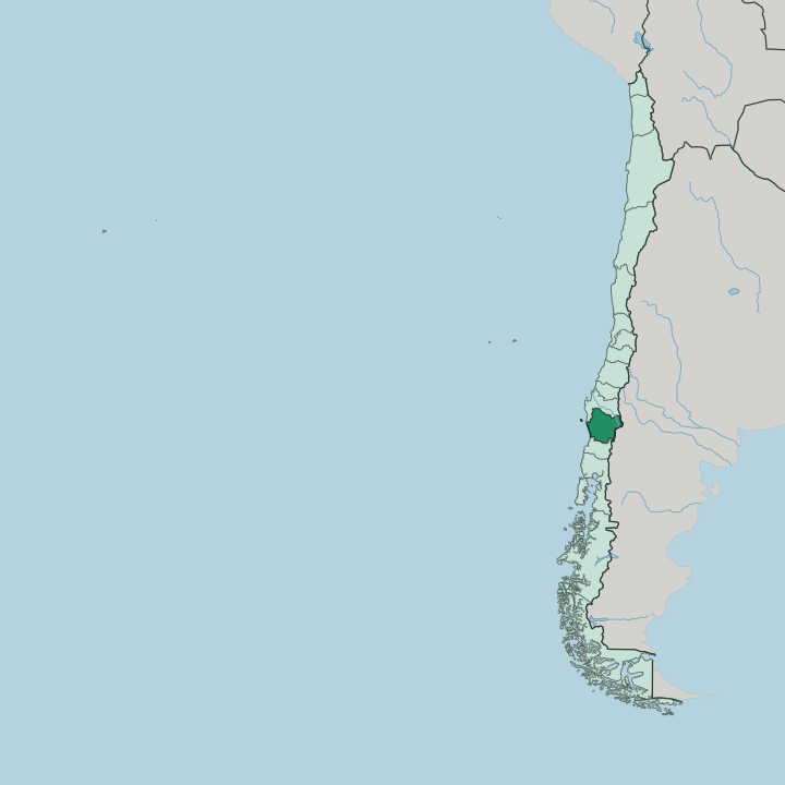
Towns & cities in Región de la Araucanía
Pick a town or city — each links to where to stay.
Araucanía keeps its lodging beside the lake. Pucón, on the eastern shore of Villarrica Lake below the smoking cone of the Villarrica Volcano, is the adventure-tourism hub and the busiest bed base in the region. Villarrica town lies a short way west along the same lake, the quieter and more local alternative for the same water and volcano views.
Temuco is the inland capital, a useful transport pivot for a night in transit. Choose Pucón when you want volcano climbs and hot springs on your doorstep; choose Villarrica when you want the lake without the crowds.
About Región de la Araucanía
This is volcano country.
What is Región de la Araucanía known for?
Región de la Araucanía is the region that made the araucaria famous, the monkey-puzzle conifer the Mapuche call the pehuén, whose seeds have fed people here for centuries. The Villarrica Volcano rises above the lake towns in a near-perfect cone, and the resort of Pucón at its foot draws climbers, rafters and hot-spring bathers to the northern edge of Chile's Lake District. Temuco, the regional capital, sits inland as the market town for the whole area.
More Mapuche live here than in any other region of Chile.
Where is Región de la Araucanía?
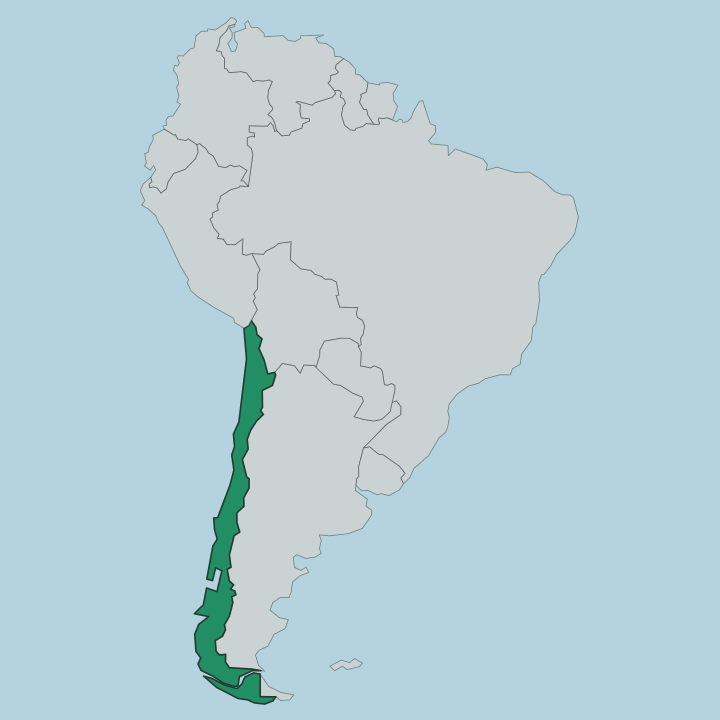
Región de la Araucanía lies in south-central Chile, a band of country running from the Pacific Ocean up into the Andes. Its eastern wall is the cordillera itself, which carries the border with Argentina along the highest ground. Nearer the ocean rises the older, lower Nahuelbuta coastal range.
Between the two mountain lines sits a broad central valley of farmland and market towns, and that is where most people live. The region splits into two provinces, Malleco in the north and Cautín in the south, with Temuco near their meeting point as the capital. The Andean edge is the dramatic part.
Volcanoes stud it, the Villarrica Volcano and the Llaima among the most active in all of Chile, and glacier-fed lakes fill the deep valleys between them. Villarrica Lake is the largest, and the Toltén River drains it westward toward the sea. Higher up, the slopes carry dense forests of the araucaria, the monkey-puzzle conifer that gives the whole region its character.
It packs ocean, plain and high cordillera into a short run.
What is Región de la Araucanía like?
The Mapuche presence sets this region apart. A larger share of the population here is Mapuche than in any other part of Chile, and their language, place-names and living traditions run through daily life rather than sitting in a museum. Many of the lakes, rivers and hills carry Mapudungun names, and the word Araucanía itself comes from the Spanish name for these people.
Weaving, silverwork and the ruka, the traditional Mapuche dwelling, are part of the fabric here. Food ties the culture to the land. The seeds of the araucaria, gathered from the high forests each autumn, have been a staple for generations and still appear roasted and boiled at the table.
Temuco anchors the region's markets, and its produce stalls are the place to see this everyday culture at work. The pehuén, as the Mapuche call the tree, is more than a food source. It is a symbol of endurance for a people who held off outside conquest for three centuries, and its umbrella-shaped crown is the emblem you see everywhere across the region.
What is the history of Región de la Araucanía?
This land held out. For three centuries the Mapuche kept the country between the Biobío and the Toltén rivers free of outside rule, resisting Inca and Spanish alike, and the armed frontier ran roughly along those waters. Temuco began as an army fort in 1881, planted during the campaign the Chilean state called the Occupation of the Araucanía.
By 1882 the region was folded fully into Chile. Settlers, railways and farms followed, and that late, forced integration still shapes the region's politics and its Mapuche land claims.
What is the climate of Región de la Araucanía?
Rain defines the Araucanía. The climate is oceanic and wet, with heavy rainfall through the year and no truly dry season, which is what keeps the araucaria forests and the central valley farmland so green. Winters are cool and grey, and the western slopes facing the Pacific catch the most rain of all.
Summers ease off but stay changeable, warm enough on the lakes to draw the Pucón crowds and to open the Villarrica Volcano climb. The high Andean ground holds snow well into the warm months.
How do you get to Región de la Araucanía?
Temuco is the way in. The regional capital sits on the long north-south road and rail spine that runs down the Chilean central valley from Santiago, and its airport handles the domestic flights most visitors take south. From Temuco it is a road run east to the lakes, with Villarrica and Pucón strung along Villarrica Lake below the volcano.
The Andean passes carry the routes across to Argentina, snowbound for part of the year. Buses link the towns; a car helps for the forests and the volcano trailheads.
Good for
Updated July 2026