Chile
Región de Antofagasta, Chile — Towns & Travel Guide


Chile's second-largest region carries the Atacama Desert north, from the Pacific port of Antofagasta to the oasis of San Pedro de Atacama.
About Región de Antofagasta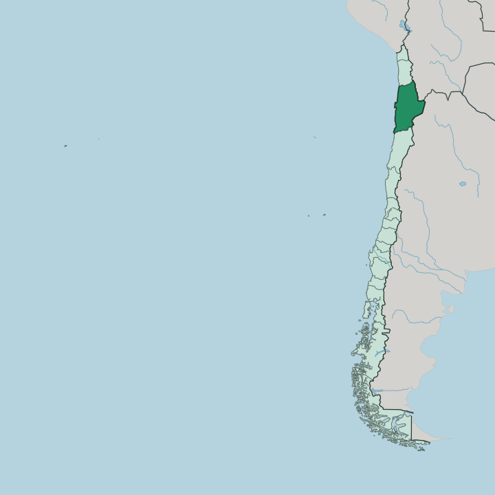
Towns & cities in Región de Antofagasta
Pick a town or city — each links to where to stay.
San Pedro de Atacama takes most travellers. The small adobe town sits at the north edge of the Salar de Atacama, within reach of El Tatio, Valle de la Luna, and the high lagoons, and it fills every bed in the region's dry heart. Antofagasta, the capital, is the other choice: a Pacific port of coastal high-rises where the flights and buses land.
Calama makes sense only as the mining base and the airport nearest San Pedro. Pick the desert or the sea.
About Región de Antofagasta
This is copper country.
What is Región de Antofagasta known for?
The Atacama Desert fills almost all of it, the driest non-polar desert on earth, and beneath that ground sit some of the largest ore bodies ever mined. Chuquicamata, the great open pit outside Calama, still ranks among the biggest copper mines in the world by excavated volume. Travellers, though, come for the other Atacama, drawn inland to San Pedro de Atacama for the geysers of El Tatio, the salt flats, and skies so clear that the world's astronomers built the Very Large Telescope out on Cerro Paranal.
Where is Región de Antofagasta?
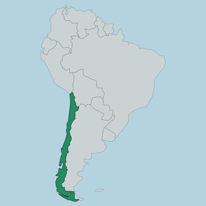
Región de Antofagasta occupies the far north of Chile, the second-largest of the country's regions by area. Its western edge is the Pacific. From that shore the land climbs east through the Atacama Desert to the wall of the Andes, and along those mountain crests it meets Bolivia and Argentina.
The desert defines everything between. The Atacama is the driest non-polar desert on earth, and in the pampa inland the rain barely registers from one year to the next. Water arrives instead as a single thread.
The Loa River, the longest in Chile, bends in a great U through the interior, running past Calama before it reaches the sea, and for much of its course it is the only permanent watercourse in the whole desert. South of San Pedro de Atacama the ground flattens into the Salar de Atacama, the largest salt flat in the country, a crust of salt and brine ringed by volcanoes. Higher still, the altiplano carries shallow lagoons and the geysers of El Tatio.
The coast is a narrow strip of port cities pressed between the ocean and the desert cliffs. Antofagasta, the capital, stands on that edge, and Mejillones and Taltal hold smaller harbours along the same shore. Behind them the land rises and dries and empties out completely.
What is Región de Antofagasta like?
Two cultures share this desert. The older one belongs to the Atacameño people, who farmed the oases around San Pedro de Atacama and the Loa River long before Chile existed, terracing the valleys and building the Pukará de Quitor above the town. Their language faded, but their villages, ceramics, and irrigated fields did not, and the museum at San Pedro guards centuries of it.
The other culture is the culture of the mine. From the nitrate boom of the nineteenth century onward, workers poured in from across Chile and beyond to the salitreras and later the copper pits, and they built raw company towns out in the pampa where nothing had stood before. Spanish is the common language across both worlds.
Much of that mining heritage is now rust and ruin, ghost towns swallowed by the driest ground on the continent, but the industry that replaced it still rules daily life in Calama and along the coast. San Pedro tells the older story. Its adobe lanes and pre-Columbian past draw the travellers, while the copper keeps the region's economy turning.
The desert holds them both.
What is the history of Región de Antofagasta?
For much of the nineteenth century this coast was Bolivia's, its only outlet to the Pacific. A nitrate rush changed that. Chilean and British capital worked the saltpetre fields, disputes over taxing them lit the fuse, and in 1879 the War of the Pacific broke out.
Chile took the whole desert province and has held it since. When German chemists learned to make synthetic nitrate, the salitreras died almost overnight, and the pampa filled with abandoned towns. Copper saved the region.
The pit at Chuquicamata and the newer mine at La Escondida turned the same desert into the engine of the Chilean economy.
What is the climate of Región de Antofagasta?
Rain almost never falls here. Parts of the pampa near the old town of Yungay count among the driest places measured on earth, and Calama in the interior goes years with barely a trace of water. The coast at Antofagasta is milder, cooled by the Pacific and often draped in the grey sea fog the north calls camanchaca.
Inland the desert swings hard between scorching days and cold nights, and San Pedro de Atacama can freeze under a clear sky after dark. Sun is the one constant.
How do you get to Región de Antofagasta?
The desert circuit starts at Calama. El Loa Airport there is the closest strip to San Pedro de Atacama, about an hour and a half of desert road to the east, and it is the usual door to the whole Atacama circuit. Antofagasta keeps its own coastal airport for the capital and the shore.
Long-distance buses grind up the Panamericana from Santiago and down from the north, but the distances are enormous. Once you land, tours and rentals run out of San Pedro.
Good for
Updated July 2026