Chile
Región de los Ríos, Chile — Towns & Travel Guide


Región de los Ríos is a lake-and-forest region of southern Chile, named for the rivers that braid around its capital, Valdivia.
About Región de los Ríos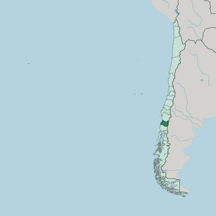
Towns & cities in Región de los Ríos
Pick a town or city — each links to where to stay.
Valdivia is the obvious base. The capital gathers the region's hotels, its riverfront market, and easy boat trips downstream to the coastal forts, so most trips begin there. East of the city the land climbs toward the lakes: Lake Ranco and the smaller resort towns strung along the water draw travellers who want the Andes closer and the pace slower.
Choose Valdivia when you want the river city, its breweries, and the coast within a short drive; choose the lake shore when you are here for quiet water, forest walks, and the volcanoes on the eastern skyline.
About Región de los Ríos
Water defines this region.
What is Región de los Ríos known for?
Valdivia sits where the Calle-Calle, Cau-Cau and Cruces rivers meet to form the Valdivia River, which then runs west to the Pacific past the old Spanish forts at Niebla and Corral. Inland, glacial lakes such as Lake Ranco fan out toward the Andes, where the Villarrica volcano rises on the northern boundary. Cold, wet, and thickly wooded, the whole region belongs to the Valdivian temperate rainforest, one of the few of its kind on Earth.
German settlers who arrived in the mid-1800s left their mark too, most visibly in Valdivia's breweries.
Where is Región de los Ríos?
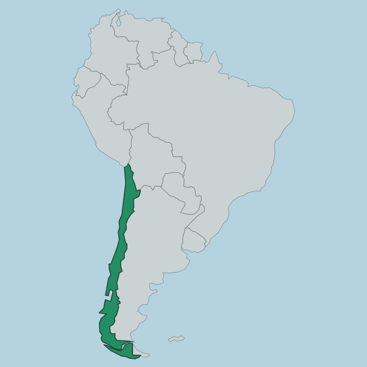
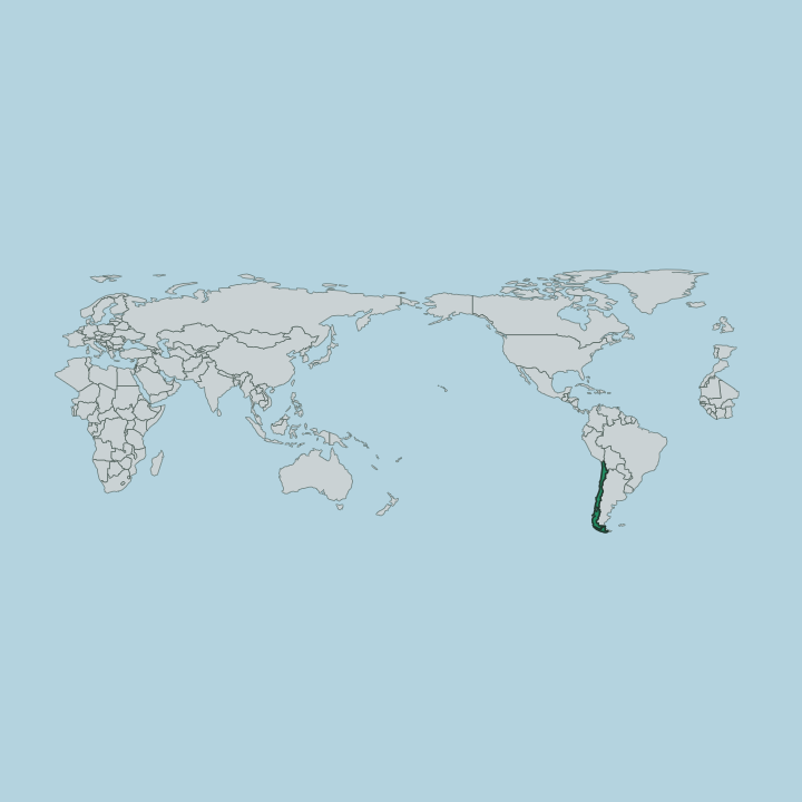
Región de los Ríos lies in southern Chile, one of the country's sixteen regions. The Araucanía Region borders it to the north and the Los Lagos Region to the south, while Argentina's Andes form the eastern wall and the Pacific Ocean the western edge. It is a narrow band of country, and it changes utterly from one side to the other.
The land arranges itself in four long strips running parallel to the sea. Nearest the water rises the low Coastal Range, wooded and worn. Behind it opens the Intermediate Depression, the farmed central valley where most towns and the capital sit.
Beyond that the Precordillera foothills step up to the high Andes on the Argentine frontier, where the Villarrica volcano and the deep glacial lakes lie. The region takes its name from its water. Valdivia stands where the Calle-Calle, Cau-Cau and Cruces rivers join to form the Valdivia River, which flows west another fifteen kilometres to reach the Pacific at Corral Bay.
Two great river basins, the Valdivia and the Bueno, drain the whole territory, fed year-round by lakes and lake chains high in the Andes. Rivers here are not a backdrop. They are the map.
What is Región de los Ríos like?
Two heritages sit side by side here. The Mapuche and their southern Huilliche kin were the first people of these rivers and forests, and their names still cling to the land, the lakes, and the volcano the Mapudungun call Ruka Pillañ. Onto that older world came Germans.
Some six thousand German settlers reached southern Chile between 1850 and 1875, and about a third of them put down roots around Valdivia, bringing mills, farms, and the brewing trade that still runs strong in the city. The result is a regional culture unlike anywhere else in Chile. Beer is a serious business in Valdivia.
The Kunstmann brewery on the edge of town has become a fixture, and craft breweries multiply through the surrounding valleys. The Universidad Austral de Chile gives the capital a large student population and a research bent, much of it turned toward the forests and rivers that surround it. Each summer the city crowns its festival week with the Noche Valdiviana, when decorated boats parade the river by night and fireworks light the water.
Rain, river, forest, and beer: that is the texture of the place. It feels European and Chilean at once, and wholly its own.
What is the history of Región de los Ríos?
The conquistador Pedro de Valdivia founded the city that carries his name in 1552, on rivers already long settled by the Huilliche. It was a hard, contested foothold. Mapuche resistance destroyed the town after the disaster at Curalaba in 1598, and only in 1645 did the Spanish crown fortify the estuary in earnest, ringing Corral Bay with the forts still standing at Niebla and Corral.
German colonists reshaped the district from the 1850s. The region itself is young: Región de los Ríos was split from the Los Lagos Region and began operating on its own in 2007, with Valdivia as its capital.
What is the climate of Región de los Ríos?
Expect rain. Región de los Ríos has a wet, cool temperate climate, and the moisture blowing in off the Pacific is exactly what feeds the Valdivian rainforest that blankets the region. Rain falls through the whole year, heaviest in the winter months of June to August, while the summer stretch from December to March runs milder and greener and draws most visitors.
The high Andes to the east hold snow, and the Villarrica volcano keeps a white cap well into the warm season. Grey, dripping skies are what keep the forest green.
How do you get to Región de los Ríos?
Most arrive by air. Pichoy Airport north of Valdivia handles the short domestic hops down from Santiago, and that is how the majority reach the region. The Pan-American Highway threads the central valley from north to south, linking Valdivia to the Araucanía Region above and the Los Lagos Region below, so buses and cars run the length of the region with ease.
From Valdivia, roads and river boats fan out to the coast at Corral, and mountain routes climb east toward the lakes and the Argentine passes through the Andes.
Good for
Updated July 2026