Denmark · Central Denmark
Where to Stay in Lemvig, Central Denmark


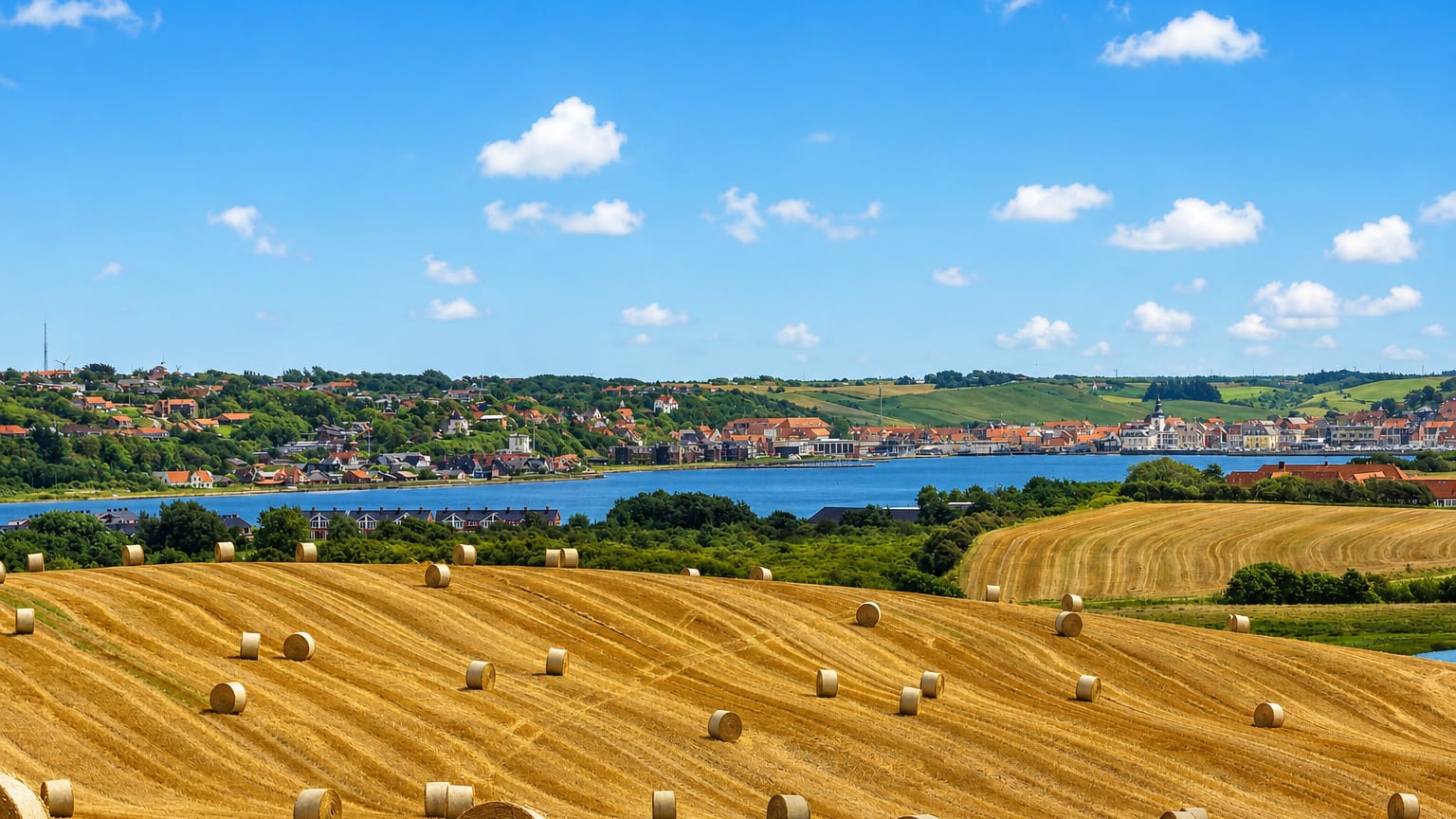
Lemvig is a market town wrapped around a sheltered inlet of the Limfjord in western Denmark, on the Jutland peninsula.
Find your area →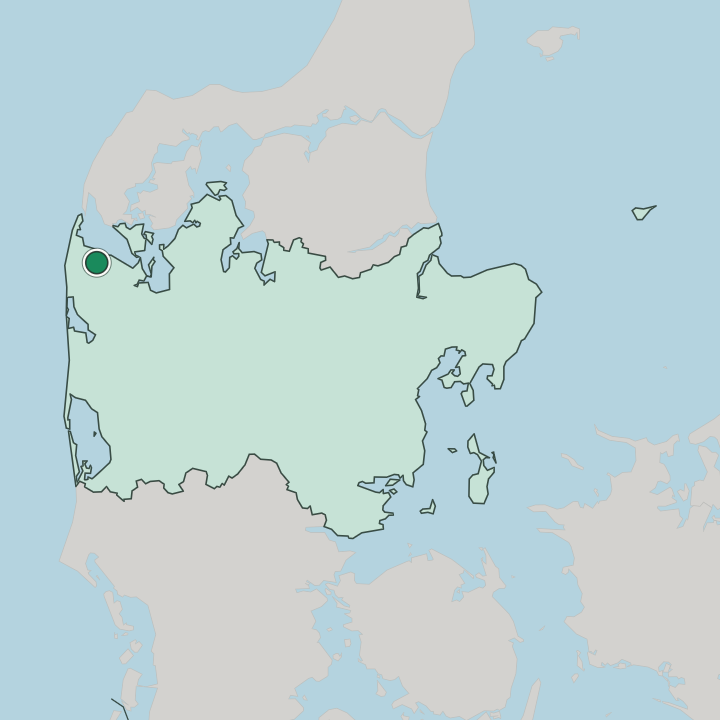
Where to stay in Lemvig
Where you base yourself shapes the visit — here's the character of each area.
Lemvig keeps most of its beds within walking distance of the inlet, in a compact centre that drops steeply toward the quay. The streets around Lemvig Kirke and the old market square hold the town's main lodging, close enough that the harbour, the museums, and the start of Planetstien are all a short stroll downhill. You will be happiest here if a quiet fjord town suits you better than a busy resort, with the Limfjord on the doorstep and the green ridge of Basbjerg rising behind.
The water is always near. Beyond the centre, the parish of Nørlem and its church sit just east along the shore, a calmer base for travellers arriving by car. Rooms are few in a town this size, so the warm months around the harbour fill first.
Plan ahead in summer.
Things to do in Lemvig
Ranked by global recognition; descriptions from Wikidata (CC0).
Museums & Galleries
2- Lemvig Museum
- Museet for Religiøs Kunst Lemvig
Churches & Religious Sites
3- Lemvig Kirke
- Nørlem Kirke
- Johanneskirken
Landmarks & Notable Places
2- Ballegård
- Basbjerg
worth knowingacross 3 categories in Lemvig
About Lemvig
What is Lemvig known for?
Lemvig is known for its bowl-shaped harbour town, ringed by green hills above the Limfjord. A scale-model walk called Planetstien threads the planets along the water, and the steep Lemvig Bjergbane heritage railway climbs out of the basin toward the fjord. Two collections anchor the cultural centre: Lemvig Museum and the Museet for Religiøs Kunst.
Small streets fall to the quay. The harbour ties the whole place together.
What are the main landmarks in Lemvig?
Lemvig Kirke crowns the town with its leaning spire above the inlet. Down at the water, Planetstien sets the sun and its planets at scale along the shore, while the Lemvig Bjergbane heritage railway grinds up the slope behind. Culture sits indoors at Lemvig Museum and the Museet for Religiøs Kunst.
Two more parish churches, Nørlem Kirke and Johanneskirken, round out the older stock of the kommune.
What is the history of Lemvig?
Lemvig grew as a market town at the head of a sheltered branch of the Limfjord, where boats could load grain and cattle from the surrounding Jutland farms. Trade along the Limfjord made the town. The medieval Lemvig Kirke marks the early settlement on the slope, and for centuries the inlet gave the town a living from fishing and coastal shipping while the open North Sea lay only a short way west across the peninsula.
As the parishes grew, Nørlem and its church joined the town's reach along the fjord shore. The steep ground that hems Lemvig in also shaped its later landmarks. To link the centre with the harbour and the wider rail network, the Lemvig Bjergbane was built to haul traffic up the slope, and the route still runs as a heritage line.
Civic life gathered into Lemvig Museum, and the Museet for Religiøs Kunst followed within the compact centre. The old farmstead of Ballegård recalls the rural estates that once ringed the kommune. The town remains the seat of Lemvig Municipality, a small fjord-side hub serving a thinly settled stretch of western Jutland.
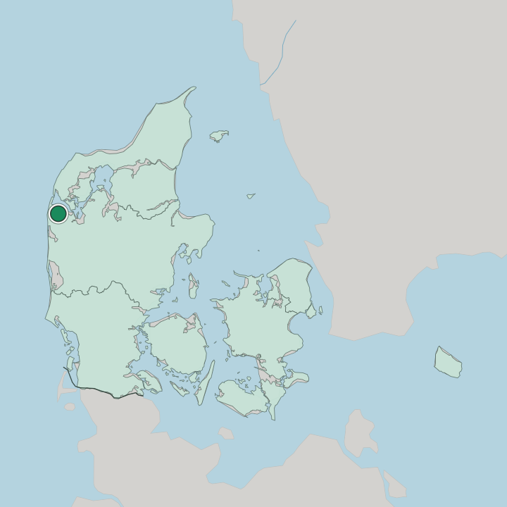
Where is Lemvig?
The town fills a steep amphitheatre of hills around a narrow arm of the Limfjord, in western Denmark, on the Jutland peninsula. Green ridges close in tight. The ground rises to wooded heights such as Basbjerg behind the houses, and the open North Sea lies only a short distance west across the narrow neck of land, with the rest of Lemvig Municipality spreading over the surrounding farm country and fjord shore.
What is the climate of Lemvig?
Weather here belongs to the exposed western edge of Jutland. The nearby North Sea and the sheltering arm of the Limfjord pull the seasons together, so winters stay cool and damp rather than bitter, and summers turn mild while the wind off the water keeps even warm afternoons fresh. Rain comes often.
The hills around the inlet take the brunt of the westerlies before they reach the basin.
How do you get to Lemvig?
Reaching Lemvig means crossing the width of Jutland. A branch railway runs in from the larger towns inland, ending at the harbour basin where the Lemvig Bjergbane once linked the quay to the network. Most travellers drive in.
Roads follow the Limfjord shore and the farm country of the kommune, while the North Sea coast lies a short hop west for travellers heading on to the dunes.
Good for
More cities in Central Denmark
Updated July 2026