Malaysia
Sabah, Malaysia — Towns & Travel Guide


Sabah is Malaysia's state on the northern tip of Borneo, where Mount Kinabalu rises above rainforest and the reefs of the Celebes Sea.
Find your area →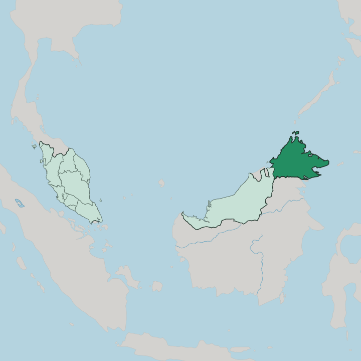
Towns & cities in Sabah
Pick a town or city — each links to where to stay.
 Malaysia
Kota Kinabalu
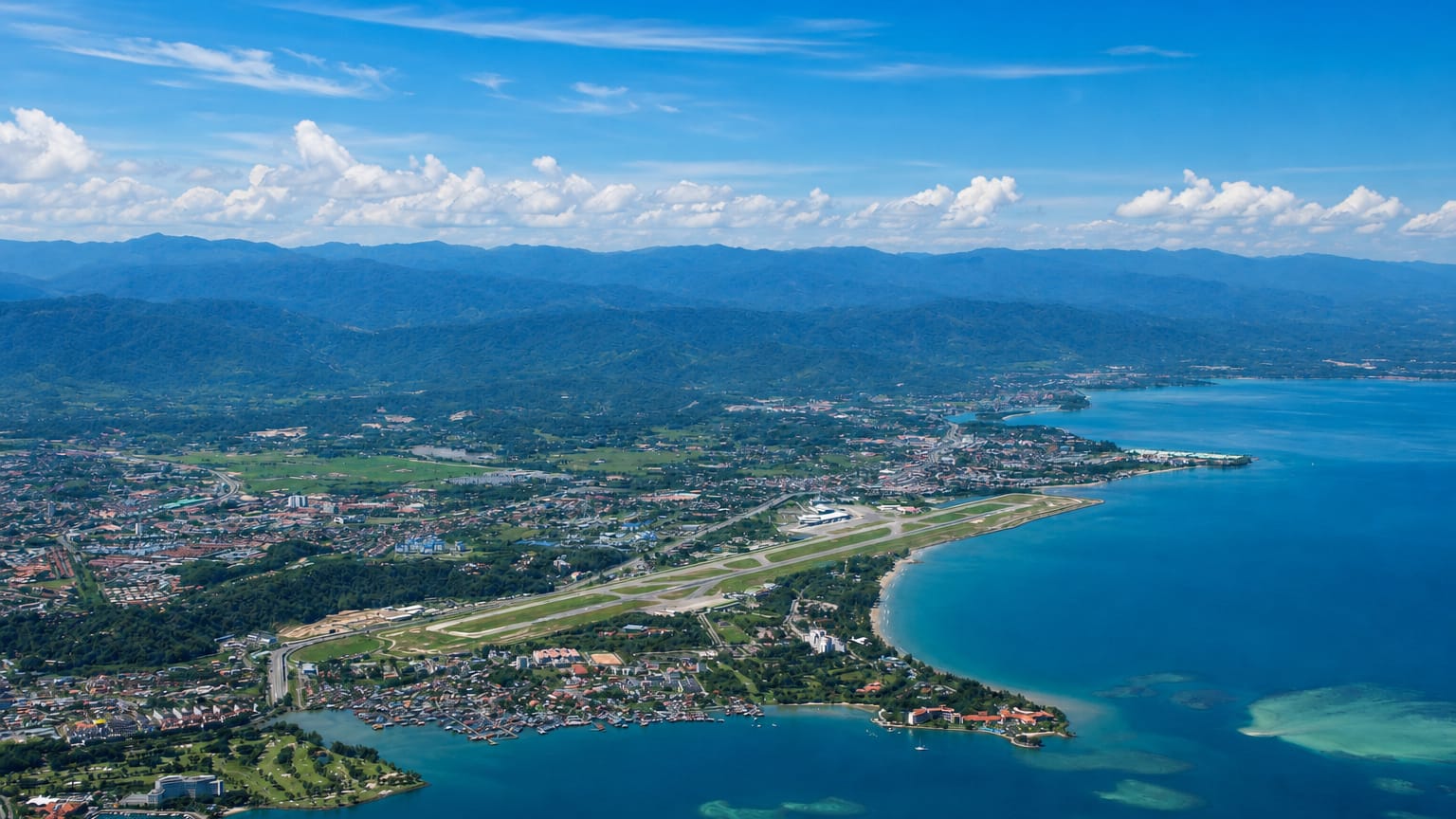
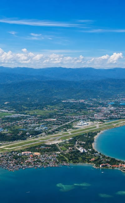
The South China Sea washes the shore at Kota Kinabalu, the coastal capital of Sabah on Borneo, Malaysia, known as KK and set below Mount Kinabalu.Where to stay →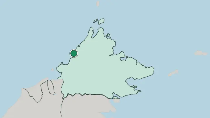
About Sabah
Sabah is known for wild Borneo.
What is Sabah known for?
Mount Kinabalu towers over the state, the highest peak in Malaysia and the whole of Maritime Southeast Asia, and climbers reach its granite summit on an overnight trek from Kinabalu Park. Wildlife is the other pull. Orangutans, proboscis monkeys, and pygmy elephants live along the Kinabatangan River, and the reefs off Sipadan draw divers from across the world.
Kota Kinabalu, the capital on the South China Sea coast, is where most trips begin.
Where is Sabah?
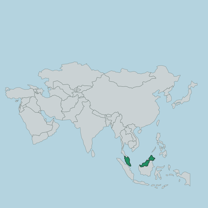
Sabah occupies the northern end of Borneo, the third-largest island on Earth, which it shares with the Malaysian state of Sarawak and the Indonesian territory to the south. It is the second-largest of Malaysia's states. Sarawak lies to its south-west along the island, and the Indonesian side of Borneo runs along its southern border.
Every other edge is sea. Three of them wrap the state. The South China Sea washes the west coast where Kota Kinabalu stands, the Sulu Sea meets the north-east, and the Celebes Sea frames the south-east around the diving islands off Sipadan.
That coastline is long and deeply indented, cut into bays and fringed by offshore islands. Inland the land climbs fast. Mount Kinabalu rises to 4,095 metres near the west coast, the highest point in Malaysia and in Maritime Southeast Asia, its granite crown standing clear above the surrounding forest.
From its slopes the Kinabatangan River, the second-longest in Malaysia, winds east across a floodplain of oxbow lakes and swamp forest before reaching the Sulu Sea. Rainforest covers much of the interior between the ranges and the shore.
What is Sabah like?
Sabah is the most ethnically varied part of Malaysia, home to more than thirty indigenous peoples who between them speak dozens of languages. Diversity is the theme. The Kadazan-Dusun are the largest group, farmers of the west-coast plains and Mount Kinabalu's foothills, whose rice-harvest festival of Kaamatan fills the villages every May.
Next come the Bajau, a seafaring people of the east coast known for their horsemanship on land and their boat-village settlements out in the Celebes Sea. Once feared as head-hunters, the Murut live in the southern uplands toward the Sarawak border. Custom still shapes daily life.
Malay and English are both widely understood, the shared tongues that carry across so many mother languages. Faith runs in parallel here: Islam along the coast, Christianity in the interior, and older animist belief woven through both. An old name for the state captures the mood.
Traders called it the Land Below the Wind, the coast sitting below the reach of the Pacific typhoons, and the phrase still stands for its unhurried rhythm. Markets in Kota Kinabalu sell the day's catch from the South China Sea beside jungle produce carried down from the hills.
What is the history of Sabah?
For centuries the north of Borneo answered to the sultans of Brunei and Sulu, who held its coasts and rivers. A British trading syndicate took over their claims in the 1880s, and the territory was run as British North Borneo by a chartered company until the Second World War. War changed it.
Japanese occupation and heavy Allied bombing left Sandakan, the old capital, in ruins, and the Crown took direct control as a colony afterward. In 1963 North Borneo joined Malaya, Sarawak, and Singapore to form Malaysia, entering the new federation as the state of Sabah under a set of agreed safeguards.
What is the climate of Sabah?
Sabah has a hot, wet equatorial climate, humid the year round with no real cold season. Heat is constant. Rain falls in every month, heaviest during the north-east monsoon from October to February and easing through the drier middle of the year.
The lowlands around Kota Kinabalu and the coasts stay warm day and night, while the air turns markedly cooler up in Kinabalu Park on the mountain's flanks. The state sits below the belt of Pacific typhoons that strike the Philippines to the north, which spared it the worst storms and earned it the old name Land Below the Wind.
How do you get to Sabah?
Air is the way in. Most travellers land at Kota Kinabalu, whose international airport is the main entry point for Borneo and the second-busiest in Malaysia, with direct flights from Kuala Lumpur on the peninsula and from hubs across East Asia. Two more airports serve the east coast, at Sandakan and Tawau, handy for the wildlife rivers and the diving at Sipadan.
Overland routes cross the southern border from Sarawak and Indonesian Borneo. Rugged mountains make them slow. Once you have landed, small planes and long road journeys connect the far-flung towns.
Common questions
What is the best area to stay in Sabah?
Kota Kinabalu: a first visit and the mountain.
Good for
Updated July 2026