Pakistan
Khyber Pakhtunkhwa Province, Pakistan — Towns & Travel Guide


Khyber Pakhtunkhwa is Pakistan's mountainous northwest, holding the Khyber Pass, the Swat Valley and Peshawar against the Afghan border.
Find your area →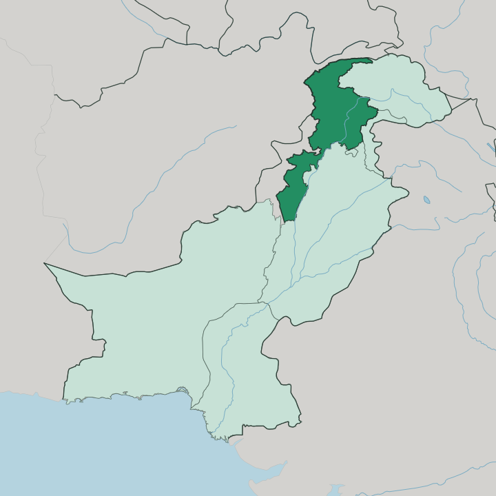
Towns & cities in Khyber Pakhtunkhwa Province
Pick a town or city — each links to where to stay.
 Pakistan
Peshawar
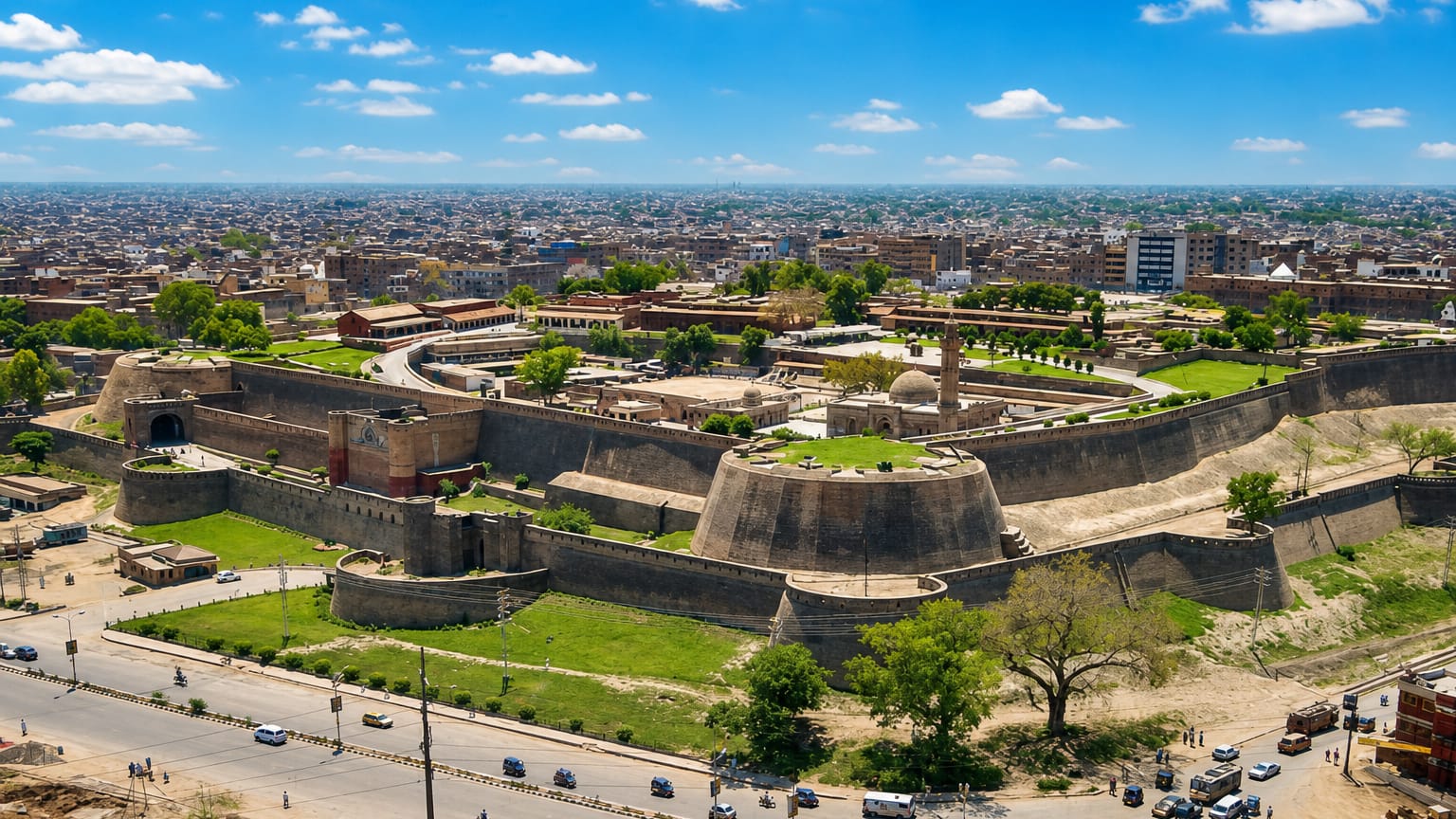
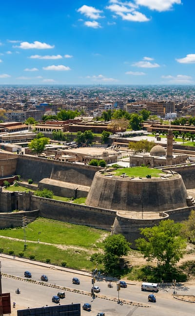
Peshawar spreads across its broad valley in north-western Pakistan, the capital of Khyber Pakhtunkhwa, a frontier city east of the Khyber Pass.Where to stay →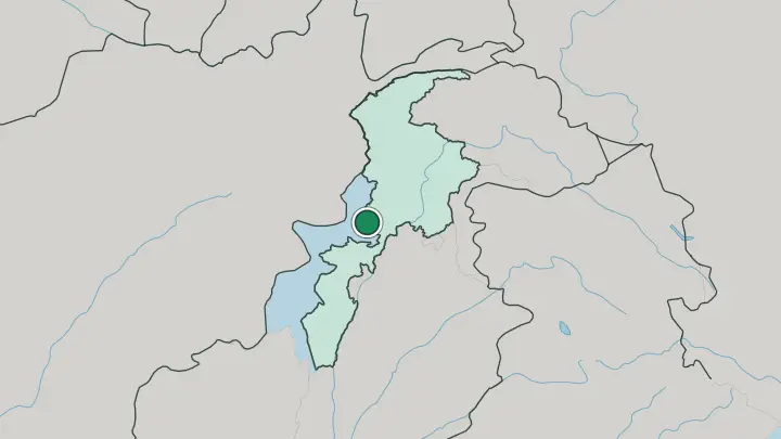
About Khyber Pakhtunkhwa Province
The Khyber Pass made this province famous.
What is Khyber Pakhtunkhwa Province known for?
For centuries the pass carried the Silk Road caravans over the mountains between Central Asia and the plains of the subcontinent, and armies fought for the choke point above Peshawar. That old frontier city is the capital, a Pashtun trading town of walled bazaars just east of the Afghan border. North of it the land climbs into the Swat Valley, green and terraced under snow peaks.
Pashto is the tongue of the streets and the hills alike.
Where is Khyber Pakhtunkhwa Province?
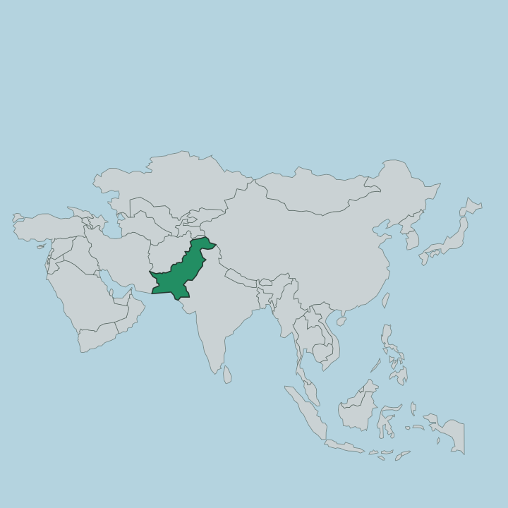
Khyber Pakhtunkhwa fills the northwestern corner of Pakistan, pressed against the Afghan frontier. The Hindu Kush walls its north. Those ranges give way southward to the broad, fertile bowl of the Peshawar basin, where the Kabul River flows down from Afghanistan to meet the Indus.
It is a land of rugged mountain ranges and river valleys stitched between them. To the west the long international border with Afghanistan runs the length of the province, crossed at the Khyber Pass. Punjab lies to the east across the Indus, Balochistan to the south, and Gilgit-Baltistan to the north and northeast. The rivers do the shaping here.
The Swat, the Chitral and the Kabul cut the deep valleys that hold most of the towns, while the higher country stays forest and bare rock. From the orchards of the Peshawar plain to the glaciers above Chitral, the province climbs through nearly every kind of ground Pakistan owns. Water and mountain decide where people live.
What is Khyber Pakhtunkhwa Province like?
This is Pashtun country. The Pashtuns are the great majority here, and their unwritten code, Pashtunwali, still governs how a village measures honour, revenge and the duty of hospitality to a guest. Pashto carries the poetry, the proverbs and the bargaining of the bazaar, and a stranger is met first as someone owed a roof and a meal.
Men wear the shalwar kameez under the flat woollen pakol of the hills. The Attan, a whirling circle dance, marks weddings and festivals across the valleys. Older layers show through everywhere.
Long before Islam, the Peshawar basin was the heart of Gandhara, a Buddhist civilisation whose monks carved monasteries into the ridges and sent their faith east along the Khyber Pass toward China. The ruins at Takht-i-Bahi still crown a hill in Mardan. Up the northern valleys, the Kalash people keep a religion older than any of it, with their own gods and their own festivals.
Faith, code and mountain hold the culture together.
What is the history of Khyber Pakhtunkhwa Province?
The province took its modern shape as the North-West Frontier Province, carved out under British rule in 1901 to hold the wild border with Afghanistan. Its ground is far older. The Peshawar basin was Gandhara, where Greek, Persian and Kushan rulers left their mark and Buddhism flowered before the Khyber Pass funnelled Islam in from the west.
The princely states of Chitral, Swat and Dir joined the province in 1969, and it took the name Khyber Pakhtunkhwa in 2010. Frontier is the word that fits it.
What is the climate of Khyber Pakhtunkhwa Province?
In Khyber Pakhtunkhwa, elevation decides the climate. The Peshawar basin bakes in summer and turns cold in winter, a lowland of dry heat and dust. Climb into the Swat Valley and Chitral and the pattern flips, with cool green summers and heavy winter snow closing the high passes for months.
The monsoon reaches the eastern hills from midsummer into September, and it is then that the northern valleys turn dangerous with flood and landslide. Spring and autumn are the kind seasons in the mountains.
How do you get to Khyber Pakhtunkhwa Province?
Most travellers reach the province through Peshawar, whose airport carries the main flights and whose motorway runs east to Islamabad in a couple of hours. The mountains are the harder part. Roads thread north up the Swat Valley and on to Chitral, but snow shuts the high passes in winter and the monsoon washes them in summer.
The land border with Afghanistan opens at Torkham on the Khyber Pass, the historic crossing. From Peshawar it is road and river the rest of the way.
Common questions
What is the best area to stay in Khyber Pakhtunkhwa Province?
Peshawar: the frontier city and the Khyber Pass.
Good for
Updated July 2026