Russia
Khanty-Mansiyskiy Avtonomnyy Okrug-Yugra, Russia — Towns & Travel Guide


Yugra is Russia's oil heartland, a taiga-and-swamp expanse on the West Siberian Plain where the Ob meets the Irtysh.
Find your area →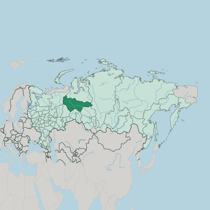
Towns & cities in Khanty-Mansiyskiy Avtonomnyy Okrug-Yugra
Pick a town or city — each links to where to stay.
 Russia
Surgut
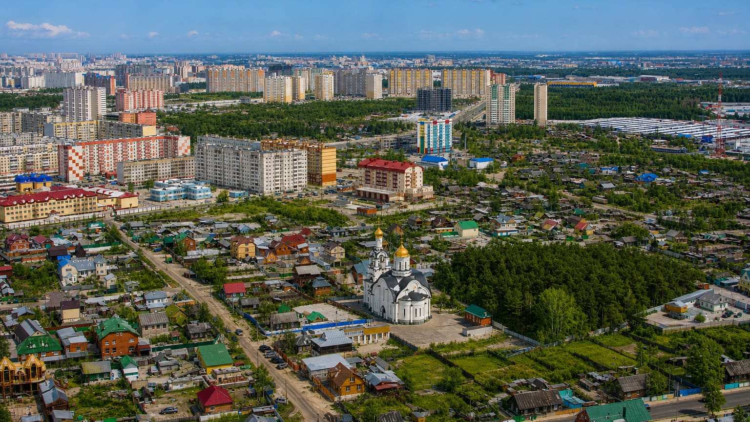
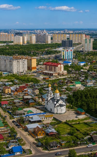
Oil built Surgut, a Siberian city in Khanty-Mansi Autonomous Okrug, Yugra, known for its local-lore museum and the Surgut Madonna mosaic.Where to stay →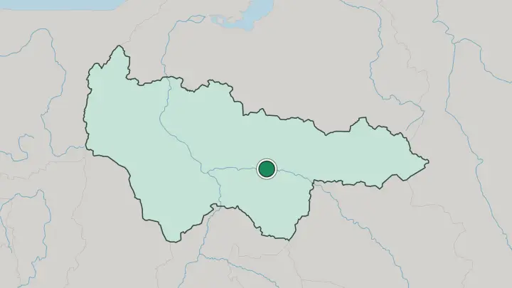
About Khanty-Mansiyskiy Avtonomnyy Okrug-Yugra
Oil made this place.
What is Khanty-Mansiyskiy Avtonomnyy Okrug-Yugra known for?
The Samotlor Field near Nizhnevartovsk is the largest in Russia, and roughly half the country's crude is drawn from wells scattered across the surrounding taiga and swamp. Surgut, the largest city, grew from a small fort into the working capital of that industry, sitting on the middle reaches of the Ob. The name Yugra reaches back to the Khanty and Mansi, the Ob-Ugric peoples native to these forests long before the derricks arrived.
Where is Khanty-Mansiyskiy Avtonomnyy Okrug-Yugra?
Yugra fills the central part of the West Siberian Plain, one of the flattest and largest lowlands on Earth. It is a place of water. The Ob crosses the whole territory from south-east to north-west, gathering the Irtysh, its greatest tributary, near the regional capital of Khanty-Mansiysk.
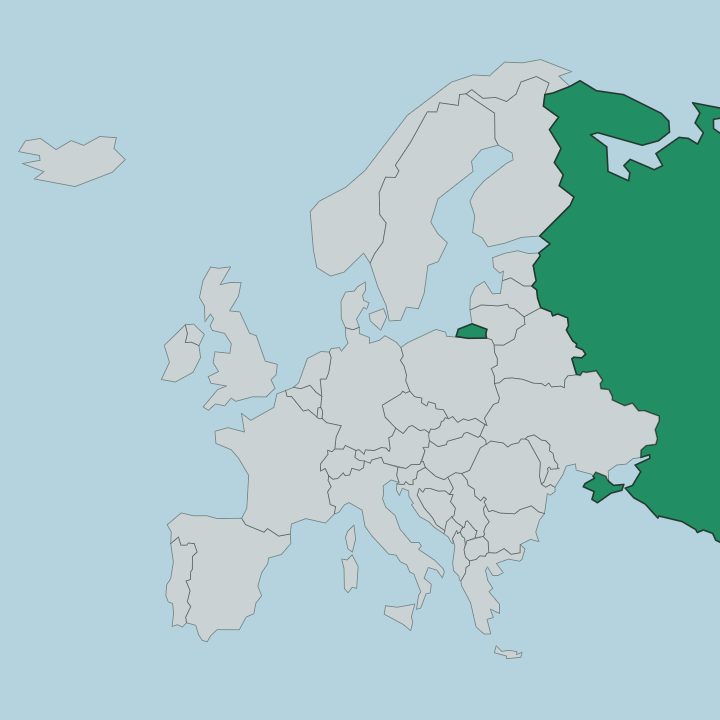
Around a third of the ground is bog, and lakes stud the flat taiga in their thousands. The Ural Mountains rise along the far western edge, the low worn spine that separates Europe from Siberia, and the land tilts eastward off them toward the rivers. The okrug sits deep in the Russian interior, far from any sea. Yamalo-Nenets Autonomous Okrug lies to the north, closer to the Arctic, while Sverdlovsk Oblast wraps the western flank below the Urals.
Distances are the defining fact. The plain runs some 900 km from north to south and stretches roughly 1,400 km west to east, so the oil cities of Surgut and Nizhnevartovsk stand hundreds of kilometres apart across unbroken conifer forest. Little of that immensity is settled.
Between the towns, the taiga and the swamp simply go on.
What is Khanty-Mansiyskiy Avtonomnyy Okrug-Yugra like?
Two worlds share the same forest here. The older one belongs to the Khanty and the Mansi, the Ob-Ugric peoples who fished the rivers and herded reindeer across the taiga for centuries. Their languages, both Uralic and distantly kin to Hungarian, still hold official status in the okrug even though the two peoples now make up only a small share of those who live here.
Their culture survives in the museums of Khanty-Mansiysk and in the fishing and herding camps out along the Ob and its side channels. The newer world is the oil town. Surgut, Nizhnevartovsk and Nefteyugansk drew workers from across the Soviet Union in the decades after the wells came in, and the population is now overwhelmingly Russian, planted around drilling and pipelines rather than any old settlement.
Winter sport binds the two together. Khanty-Mansiysk hosts world biathlon on its forested slopes, and cross-country skiing runs deep in a region snowbound for half the year. Bright modern arenas stand beside carved wooden idols in the same city.
That contrast is the character of the place.
What is the history of Khanty-Mansiyskiy Avtonomnyy Okrug-Yugra?
The Khanty and Mansi held these forests for a thousand years before Russia reached them, and Surgut was founded as a Cossack stockade back in 1594 to hold the fur trade of the Ob. The autonomous okrug itself was created in 1930 under the Soviets, first named Ostyak-Vogul after the two native peoples, then renamed for them again as Khanty-Mansi in 1940. Then oil changed it.
Empty taiga became Surgut, Nizhnevartovsk and Nefteyugansk within a generation once the wells came in during the 1960s, and the ancient name Yugra was formally added to the okrug's title in 2003.
What is the climate of Khanty-Mansiyskiy Avtonomnyy Okrug-Yugra?
Winter rules here. It is long, dark and severely cold, with snow lying for more than half the year and hard frosts dropping below minus thirty across the taiga. Summers are short but genuinely warm, and that brief thaw turns the swamp of the West Siberian Plain into a breeding ground for clouds of mosquitoes.
The rivers freeze solid for months, and the Ob and Irtysh become winter roads. There is no coast to soften any of it, only the deep continental swing of Siberia between the extremes.
How do you get to Khanty-Mansiyskiy Avtonomnyy Okrug-Yugra?
You fly. Roads and rail reach the region from the south, but the practical way in is by air, and Surgut International Airport is the busiest gate, north of the city and linked by direct flights to Moscow and other Russian hubs. Khanty-Mansiysk has its own airport a short drive from the capital, handy for the biathlon centre and the museums.
Once here, the Ob and Irtysh double as summer waterways and winter ice roads, while highways thread the oil towns of Nizhnevartovsk and Nefteyugansk across the taiga. Distances between them are long.
Common questions
What is the best area to stay in Khanty-Mansiyskiy Avtonomnyy Okrug-Yugra?
Surgut: connections deeper into Siberia.
Good for
Updated July 2026