Russia
Komi, Russia — Towns & Travel Guide


Komi is a vast Finno-Ugric republic of northern Russia, all taiga, tundra and the wild rivers west of the Ural Mountains.
Find your area →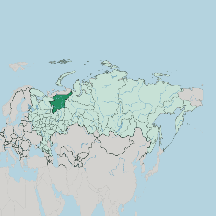
Towns & cities in Komi
Pick a town or city — each links to where to stay.
 Russia
Syktyvkar
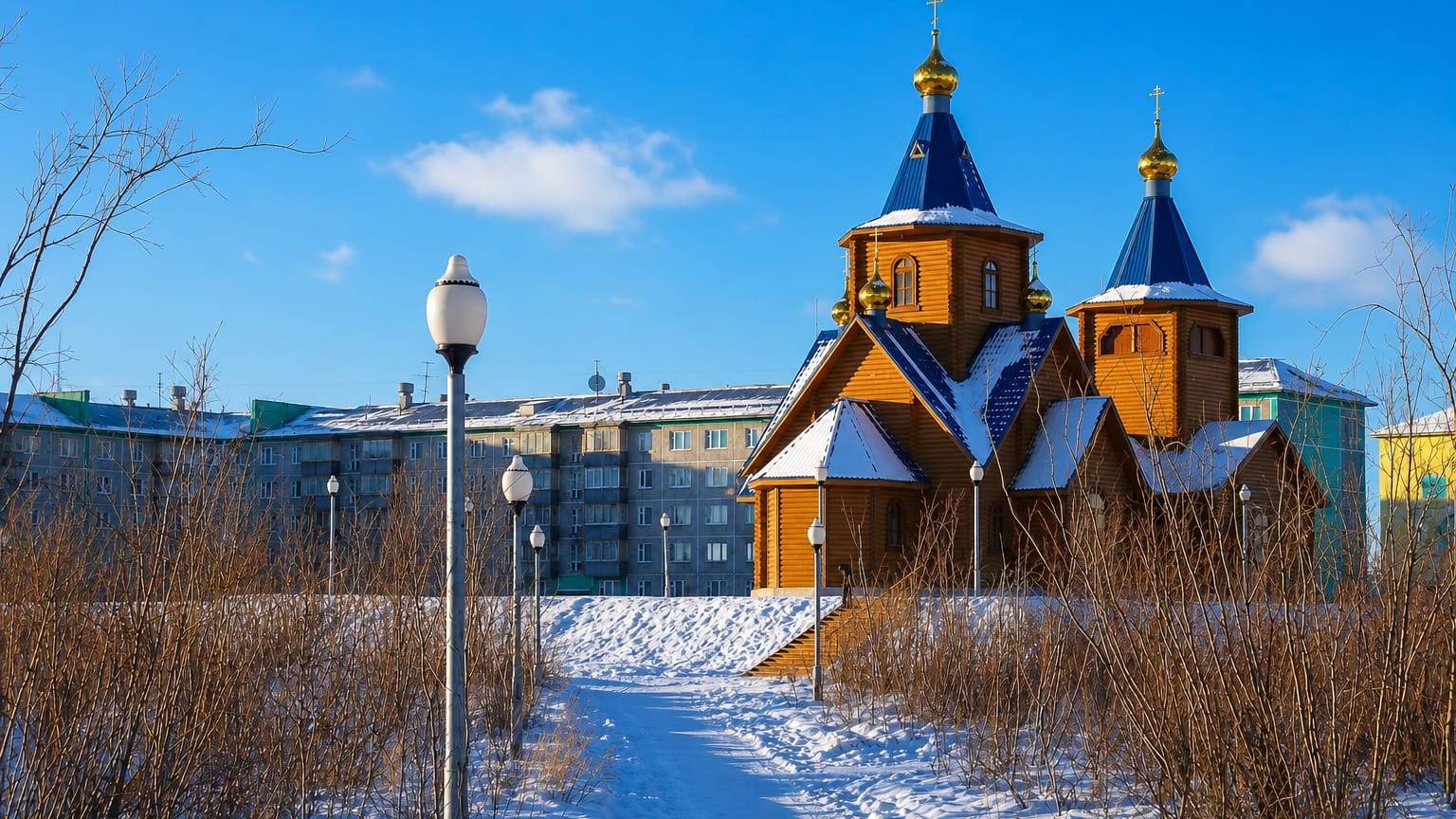
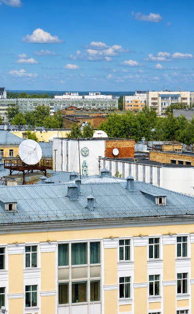
Taiga surrounds Syktyvkar, the northern capital of the Komi Republic and its centre of Komi language and culture.Where to stay →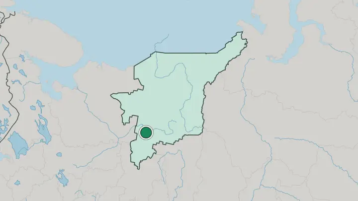
 Russia
Vorkuta
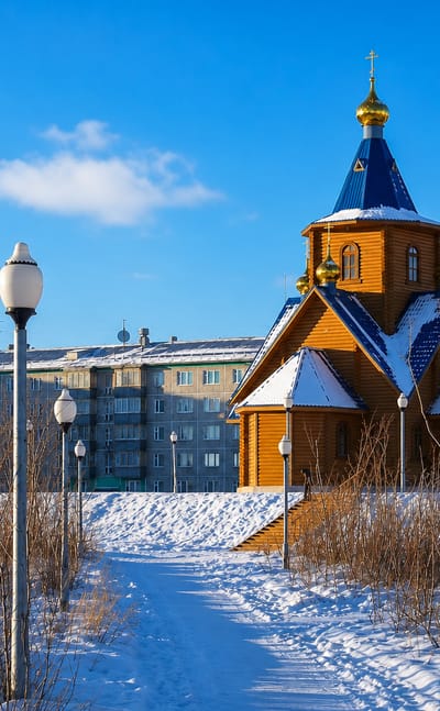
Snow blows across the tundra at Vorkuta, a coal-mining town on the Vorkuta river in the Komi Republic, just north of the Arctic Circle in the Pechora coal…Where to stay →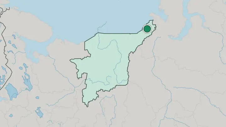
About Komi
Komi is forest and river country.
What is Komi known for?
More than 70% of it is taiga, drained by the Pechora, the Vychegda and the Mezen. Its greatest draw is the Virgin Komi Forests, the largest tract of untouched boreal woodland left in Europe and the first natural site in Russia written onto the UNESCO list. Deep inside the Pechora-Ilych reserve stand the Manpupuner pillars, seven weathered stone giants rising between 30 and 42 metres from a bare plateau.
Coal, oil and gas built the rest of it. The mines of Vorkuta and the oil fields around Ukhta pulled towns out of the permafrost.
Where is Komi?
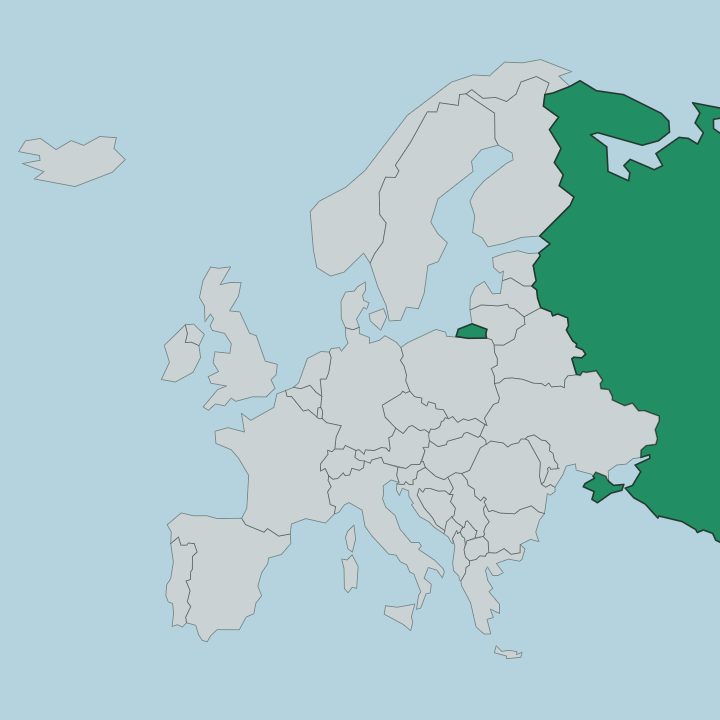
Komi fills the north-east corner of European Russia, on the far side of the East European Plain where it runs up against the Ural Mountains. The Urals form its whole eastern wall, and the Polar Urals rise sharpest in the north-east. It is a big place.
The republic covers roughly 416,800 square kilometres, more ground than many countries, yet almost all of it is forest, bog and open tundra rather than settlement. Water organises the land. Three great rivers drain it, all draining north or west: the Pechora, which rises in the Urals and runs 1,809 kilometres to the Arctic Ocean, the Vychegda flowing west past the capital, and the Mezen along the western edge.
Between them the low Timan Ridge, barely 450 metres at its highest, crosses the republic from north-west to south-east and splits the Pechora basin from the Vychegda. Taiga covers more than 70% of the whole, thinning to mossy tundra only in the extreme north-east near Vorkuta. Swamp takes up much of the rest.
The Nenets country and the Arctic lie beyond the northern edge; the Ural crest divides Komi from Siberia to the east.
What is Komi like?
The republic takes its name from the Komi, a Finno-Ugric people whose Permic tongue belongs to the same Uralic family as Finnish and Hungarian rather than to Russian. Komi is an official language here alongside Russian, taught in schools and staged at the national drama theatre in Syktyvkar. A missionary, Stephen of Perm, cut the first Komi alphabet in the late 14th century to carry Christianity north into these forests.
That old written tradition survives. Russians make up most of the republic now, the Komi close to a quarter, a balance shaped by a century of mines, camps and migration into the north. Syktyvkar is the heart of the Komi world all the same.
Its museums, its cultural centre and its Komi-language theatre keep the old crafts in public life. Reindeer herding still runs in the northern tundra, a livelihood far older than any of the coal towns that Soviet planners bolted onto the map. Folk song and birch-bark work endure.
They sit under the industrial surface, and both belong to Komi.
What is the history of Komi?
The Komi lands became an autonomous oblast for the Komi people on 22 August 1921, and were raised to a full republic within Russia later under Soviet rule. The reality was harsher. Prisoners planned and built almost every major town here, Syktyvkar, Ukhta, Pechora, Inta and Vorkuta alike, and laid the railways and roads across the permafrost.
The camp at Vorkuta, one of the most notorious of the whole Gulag, worked hundreds of thousands through its coal mines. That forced labour, more than any settler, is what opened Komi's north.
What is the climate of Komi?
Komi runs cold and long in winter. Syktyvkar in the south averages around minus 15 in January and a mild 17 in July, and the north is harsher still. Vorkuta and the tundra near the Arctic Circle hold a subarctic climate of very long, snowbound winters and short, cool summers that barely thaw the ground.
Snow lies for many months across the whole republic. Late July into September is the one dependable window for the taiga and the Manpupuner plateau, when the rivers are open and the ground is walkable.
How do you get to Komi?
Most travellers reach Komi by air into Syktyvkar, with smaller airports at Ukhta and Vorkuta serving the north. The other spine is the Pechora Railway, driven up from Kotlas to Vorkuta between 1937 and 1941 by camp labour and still the only overland thread to the coal country beyond the Arctic Circle. Roads soon thin out.
The Manpupuner pillars sit so deep in the reserve that most visitors finish the trip by helicopter out of Ukhta or by a long guided trek. Distances here are Russian in scale, and nothing near the tundra is quick.
Common questions
What is the best area to stay in Komi?
Syktyvkar: a base for the whole republic. Vorkuta: the Arctic coal country.
Good for
Updated July 2026