Russia
Perm Krai, Russia — Towns & Travel Guide


Perm Krai spreads across the western flank of the Ural Mountains, drained by the Kama River and cloaked almost entirely in taiga.
Find your area →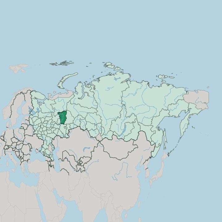
Towns & cities in Perm Krai
Pick a town or city — each links to where to stay.
 Russia
Perm
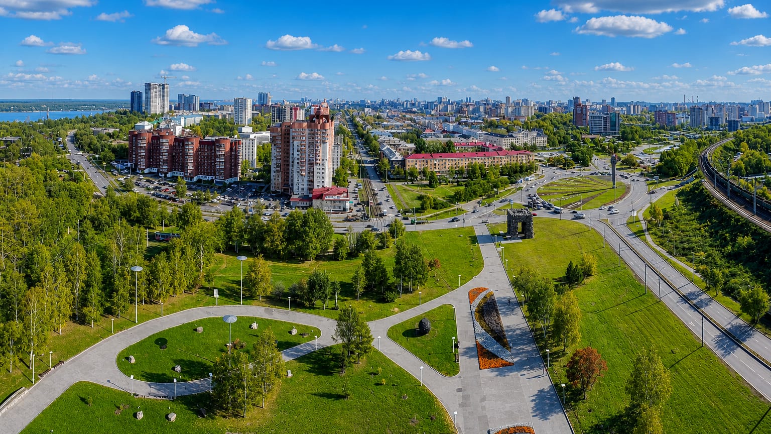
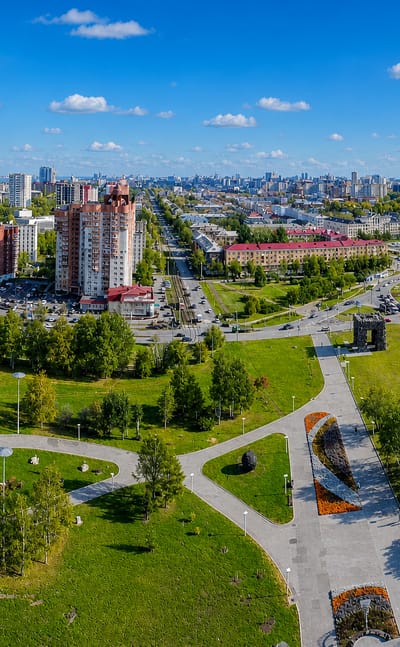
Ural light falls on the wide streets of Perm, a city in Perm Krai known for the Perm Art Museum and the Sergei Diaghilev Museum.Where to stay →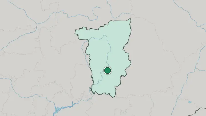
About Perm Krai
What is Perm Krai known for?
Perm Krai is the last stretch of European Russia before the Ural Mountains rise. Salt and forest built it. The medieval land of Great Perm was ruled from Cherdyn, and the Stroganov family later ran the country's biggest saltworks at Solikamsk on the upper Kama River.
Spruce, fir and birch cover roughly 71 percent of the ground, threaded by tens of thousands of rivers. The regional capital, Perm, anchors the south and gave the Permian geological period its name.
Where is Perm Krai?
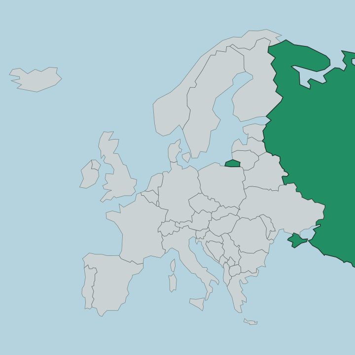
Perm Krai sits in eastern European Russia, pressed against the western slope of the central Ural Mountains. The crestline forms its eastern edge. Almost the whole of the region lies in Europe, with only a sliver crossing into Asia beyond the ridge.
The land tilts down from those mountains toward the broad basin of the Kama River, which curls through the middle of the region for the better part of its 1,805-kilometre course before joining the Volga far to the south-west. Tens of thousands of rivers drain this ground, among them the Chusovaya, which cuts west out of the mountains, and the Vishera in the wild north. Borders ring it on every side.
The Komi Republic lies to the north, Kirov Oblast to the north-west, the Udmurt Republic to the south-west, Bashkortostan to the south, and Sverdlovsk Oblast to the east across the Urals. Forest covers most of what lies between. Taiga of spruce and fir, of pine and birch, runs from the river valleys up into the foothills, and the region stretches roughly 645 kilometres from its northern reaches down to its southern edge.
That forested distance is the first thing to understand about travelling here.
What is Perm Krai like?
Perm Krai carries two cultural threads at once, one ancient and one made in the city. The older thread is the Permian animal style. From roughly the second century BCE onward, Finno-Ugric metalworkers here cast small bronze plaques of elk, bears and birds fused with human faces, and those figures remain the region's oldest signature.
The Komi-Permyaks, whose Komi-Permyak language still holds on in the north, descend from the peoples who made them. The city thread is younger and louder. Perm keeps one of Russia's oldest opera and ballet companies at the Perm Opera and Ballet Theatre, named for Tchaikovsky, and its ballet troupe ranks among the country's best.
Perm also holds a harder memory. The Perm-36 camp, east of the city, is the only Soviet forced-labour camp preserved as a museum, and it draws travellers who want the twentieth century as well as the ancient bronze. Together the amulets, the stage and the camp make a place that is hard to reduce to one image.
That mix is the character of the region.
What is the history of Perm Krai?
The medieval land of Great Perm was first recorded in 1324 and ruled from Cherdyn, dependent on Novgorod and then on Moscow before the Russian state absorbed it in 1505. Salt made the money. A settlement grew at Solikamsk from 1430, and by charter in 1558 Ivan IV handed vast tracts to the Stroganov family, whose saltworks came to supply much of the country.
The city of Perm itself dates only to 1723, built around an ironworks on the Kama River. In its present shape the region is young: Perm Krai was created in 2005 when Perm Oblast merged with the Komi-Permyak Autonomous Okrug.
What is the climate of Perm Krai?
Winters here are long and sharply continental. January runs colder in the north-east, near the Ural ridges, than in the south-west, and deep cold settles over the taiga for months on end. Snow lies on the forest floor well into spring.
Summers are short and warmer, enough to open the rivers and the Kungur Ice Cave to visitors, though the cave itself holds its ice year-round in the chill of the rock. Rafting on the Vishera and the Chusovaya only makes sense in that brief warm window.
How do you get to Perm Krai?
Most travellers reach the region through Perm. The city's Bolshoye Savino airport links it to Moscow and other Russian cities, roughly a couple of hours in the air from the capital to the west. The Trans-Siberian Railway also runs through.
Its through-trains stop at the Perm-2 station on the long haul between Moscow and Yekaterinburg, and the sleeper is a common way in. The Kama River adds a third route: cruises run up from the Volga cities to the Perm port in the warm months. From Perm, road and rail carry on to Kungur, Solikamsk and the towns of the north.
Common questions
What is the best area to stay in Perm Krai?
Perm: theatre, museums and river cruises on the Kama.
Good for
Updated July 2026