Ukraine
Zakarpattia Oblast, Ukraine — Towns & Travel Guide


Zakarpattia is Ukraine's south-western corner, a mountain oblast beyond the Carpathian crest bordering four countries.
Find your area →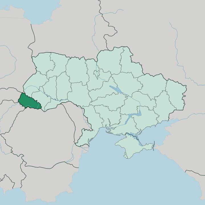
Towns & cities in Zakarpattia Oblast
Pick a town or city — each links to where to stay.
 Ukraine
Uzhhorod
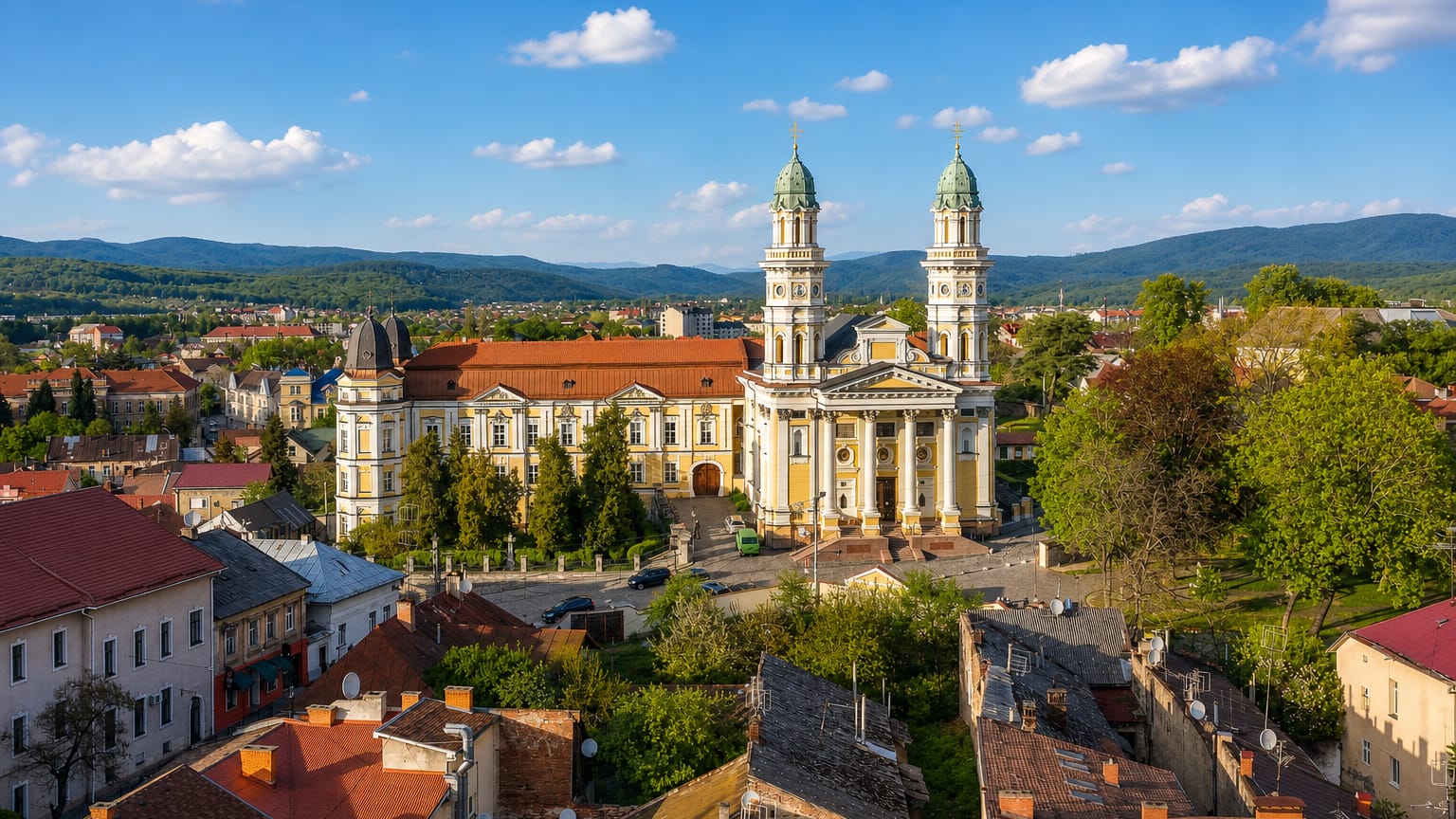
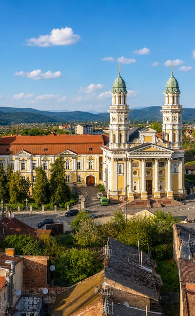
The Uzh River splits Uzhhorod, a city in western Ukraine and the seat of Zakarpattia Oblast, known for Uzhhorod Castle and its cathedrals.Where to stay →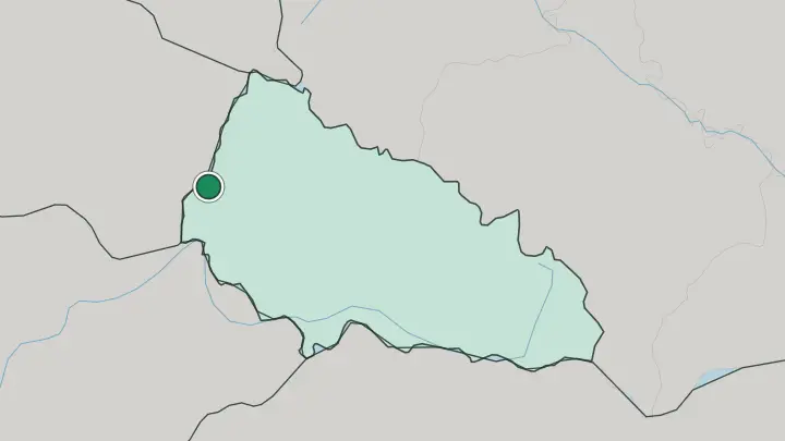
 Ukraine
Mukachevo
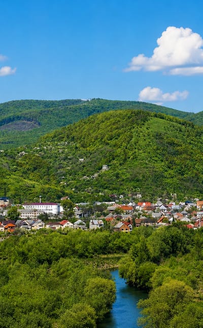
Palanok Castle crowns a hill above Mukachevo, an old town on the Latorica River in Zakarpattia Oblast.Where to stay →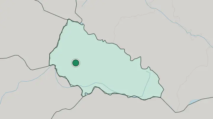
About Zakarpattia Oblast
Mountains define Zakarpattia.
What is Zakarpattia Oblast known for?
Roughly four-fifths of the oblast rises into the wooded ridges of the Ukrainian Carpathians, and Hoverla, the country's highest peak, crowns the Chornohora range on its eastern edge. The name means "beyond the Carpathians": this is the one Ukrainian region that sits on the far, southern flank of the range, closer to Budapest than to Kyiv. Uzhhorod, the administrative centre, spreads along the Uzh river within sight of the Slovak border.
History here reads unlike anywhere else in Ukraine, layered with Hungarian, Rusyn, Romanian and Czechoslovak rule.
Where is Zakarpattia Oblast?
Zakarpattia occupies the far south-western tip of Ukraine, the only oblast lying wholly on the outer, southern slope of the Carpathian arc. That single fact of position shapes everything. The high ridges of the Ukrainian Carpathians wall it off from the rest of the country to the north-east, so about four-fifths of its surface is mountain: the Vododilnyi ridge, the Svydovets and Chornohora massifs, and the Volcanic Carpathians that give the region its warm mineral springs.
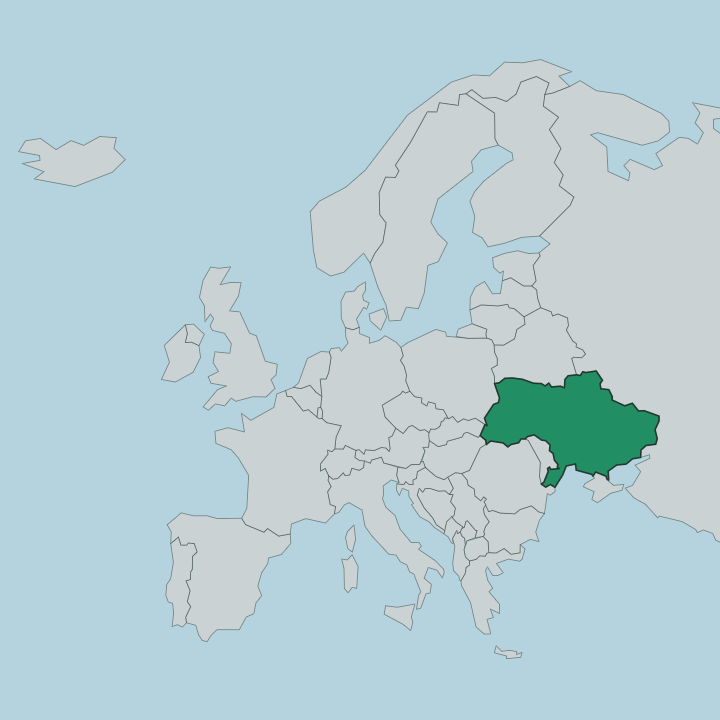
Hoverla rises on the Chornohora crest, the highest point in all of Ukraine. Four national borders ring the oblast. Poland lies to the north, Slovakia and Hungary to the west and south-west, and Romania to the south-east, so no Ukrainian region touches more neighbours. The Tisza river marks much of that southern and eastern boundary, gathering near Rakhiv where the White and Black Tisza meet before it runs down onto the Hungarian plain.
Below the peaks the land flattens into a lowland corner around Berehove and Chop, vine country facing Hungary. Uzhhorod sits at the western end of that plain on the Uzh, a river that leaves Ukraine within a few kilometres of the city and flows on into Slovakia.
What is Zakarpattia Oblast like?
No other part of Ukraine mixes quite like this. Cut off by the Carpathians from Kyiv and open toward Central Europe, the oblast overlaps the historical land of Carpathian Ruthenia, and centuries of Hungarian, Austro-Hungarian and Czechoslovak rule left their mark on the food, the churches and the street names. Hungarian is the everyday language across the southern plain around Berehove.
Many locals are Rusyns, whose distinct Carpathian identity the Zakarpattia council formally recognised, and the mountains still hold pockets of Romanian, Slovak, Roma and German-descended communities. That plurality is visible. Wooden churches with shingled spires stand in Carpathian villages, some centuries old and built without a nail.
Wine and thermal bathing run deep on the plain, where the vineyards of Berehove and the springs nearby draw weekenders down from the hills. Up in the valleys the year still turns on the polonyna cycle, the summer driving of sheep to the high pastures below Hoverla. The cooking borrows freely from every neighbour.
Bograch, a paprika-heavy Hungarian-style stew, is as much a Zakarpattia dish as a Ukrainian one.
What is the history of Zakarpattia Oblast?
Few borders have shifted this often. From the 11th century the region belonged to the Kingdom of Hungary, and it stayed under Hungarian and then Austro-Hungarian rule until the First World War. Czechoslovakia held it between the wars as Subcarpathian Ruthenia, Hungary retook it in 1939, and in 1945 it passed to the Soviet Union.
The present oblast was drawn in 1946, once Czechoslovakia formally surrendered its claim under a treaty with the Soviets. Only with the Soviet collapse did Zakarpattia become part of an independent Ukraine.
What is the climate of Zakarpattia Oblast?
Zakarpattia runs warmer than the rest of Ukraine, sheltered on the southern side of the Carpathians. The lowland corner around Berehove and Chop enjoys long, mild summers that ripen the vineyards, and it is one of the warmest pockets in the country. Altitude rewrites the weather across Zakarpattia.
Climb toward Hoverla and the Chornohora ridge and the season shortens sharply, with deep winter snow lingering on the high polonyna pastures well into spring. Rain falls generously across the year, feeding the Tisza and the forests that cover the slopes.
How do you get to Zakarpattia Oblast?
Chop is the doorway. The railway junction there straddles the border where Ukraine's broad-gauge track meets the standard-gauge lines of Slovakia and Hungary, long the main crossing point for trains between Ukraine and the European Union. A short standard-gauge line now carries EU trains on to Uzhhorod itself, and the M06 road runs west from Kyiv through the oblast toward Budapest.
Overland from Slovakia or Hungary is the usual approach for travellers coming from Central Europe. From the rest of Ukraine, the mountains mean a long rail or road climb over the Carpathian passes to reach the far side.
Common questions
What is the best area to stay in Zakarpattia Oblast?
Uzhhorod: a first stay beside the Uzh river. Mukachevo: Palanok Castle and the Latorica valley.
Good for
Updated July 2026