Hungary
Tolna megye, Hungary — Towns & Travel Guide


Tolna megye is a wine county in southern Hungary, set on the loess slopes above the Sió's confluence with the Danube at Szekszárd.
About Tolna megye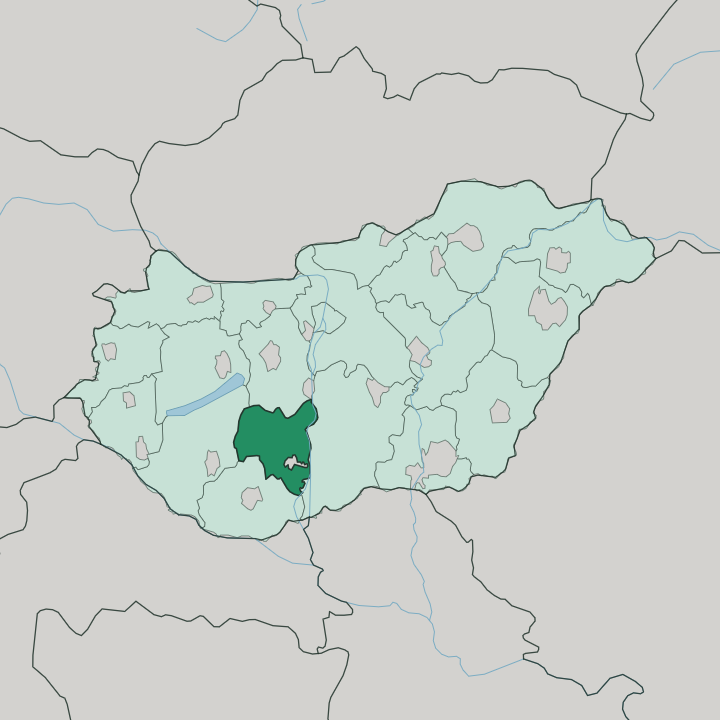
Towns & cities in Tolna megye
Pick a town or city — each links to where to stay.
Szekszárd is the obvious base. Its wine cellars are the whole point, and the small county capital sits right among the vineyards that give the region its name. Paks suits a traveller drawn to the Danube instead, close to the Gemenc forest and the river's game reserves out east.
Dombóvár, over west, is the county's rail junction and the door to the Kapos valley and its spa. Choose Szekszárd first; take Paks or Dombóvár when the river or the western hills are the point of the trip.
About Tolna megye
What is Tolna megye known for?
Red wine made this county's name. Szekszárd, its capital, presses the deep Bikavér and the spicy old kadarka on loess hills that catch the southern sun. Beyond the vineyards the Danube runs the eastern edge, and its Gemenc floodplain forest shelters red deer and fallow deer inside the Duna-Dráva national park.
The Sárköz villages here are famous across Hungary for their embroidered folk costume. Then there is Paks, where the country's only nuclear plant stands on the river bank.
Where is Tolna megye?
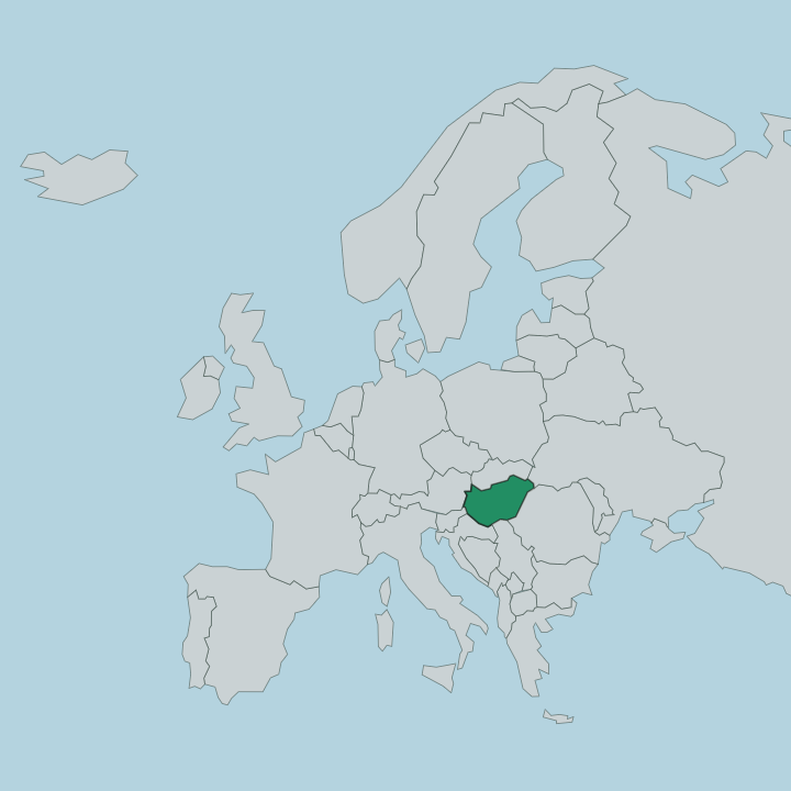
Tolna megye sits in southern Hungary, in the part of Transdanubia that lies west of the Danube. The great river forms the whole eastern boundary of the county. West of that water the land is not one thing but two, and the split runs through nearly everything the county grows and builds on its soil.
In the north-east spreads the Mezőföld, a flat loess tableland that shades down into the riverine lowlands along the Danube. The west and south are hill country instead, the rolling Tolna hills climbing toward the northern outliers of the Mecsek mountains. Szekszárd stands on the seam between those two worlds, at the point the western hills finally break off and drop away above the Danube plain.
The rivers do the rest. Draining the western valleys, the Kapos and the Koppány run east toward the Danube. The Sió, carrying the overflow of Lake Balaton away to the north-west, threads across the county and empties into the Danube near Szekszárd itself.
Somogy county borders Tolna to the west, Baranya to the south, Bács-Kiskun across the river to the east, and Fejér to the north. It is a compact place. Among Hungary's counties this is one of the smaller, and the Danube is never far from its eastern towns.
What is Tolna megye like?
Two threads run through the county's character, and both grow out of the land. The first is wine. Szekszárd has pressed red wine on its loess slopes since the Romans planted vines here in Pannonia, and the town gave its name to a Bikavér and to the kadarka grape that still ripens on the warm hills.
Cellars cut into the loess are part of the everyday fabric of the place. The second thread is folk tradition, strongest in the Sárköz. Those Sárköz villages, on the drained flats beside the Danube, grew prosperous when the wetlands were reclaimed, and the new wealth showed itself in dense, dark embroidery and the elaborate costume that Hungary still knows them for.
The county's people are not from one root. Germans came after the Ottomans left the land emptied, invited to resettle it, and their descendants are the Danube Swabians who still give Bonyhád and the surrounding villages a distinct stamp. Hungarian is the everyday language across all of it.
Vine-grower, river villager and Swabian settler together make the county what it is.
What is the history of Tolna megye?
The Romans held this ground as part of Pannonia, and it was they who first set vines on the Szekszárd hills. Magyar tribes settled the fertile land after the ninth century, and by the Middle Ages river towns along the Danube traded across the kingdom. Then Ottoman rule took the land.
Turkish rule lasted close to a century and a half and left much of the county's countryside emptied, its villages abandoned. When the Habsburgs drove the Ottomans out, German settlers were brought in to work the depopulated land, and they became the Danube Swabians. The modern county of Tolna took its present form in 1950.
What is the climate of Tolna megye?
This is warm, sunny country by Hungarian standards. The southern position and the sheltering hills give Szekszárd one of the longest growing seasons in the land, which is exactly why the red grapes ripen so fully on its loess. Summers are hot and dry, winters mild, and a long, warm autumn lets even the late varieties come in with good sugar.
Rain is light here. Most of it falls over the warm half of the year, and the Danube plain in the east tends to run a shade milder than the western hills.
How do you get to Tolna megye?
Most travellers come down from Budapest, which lies to the north. The M6 motorway runs south from the capital along the Danube and reaches Szekszárd in under two hours, the fastest way into the wine country. Trains are the other route.
Dombóvár, out west, is the county's main rail junction, where services from the capital and from the south change. There is no airport of any size here. Paks and the other river towns sit on the Danube road that hugs the eastern edge.
Updated July 2026