Hungary
Bács-Kiskun county, Hungary — Towns & Travel Guide


Bács-Kiskun is Hungary's largest county, a flat sweep of sand and orchards between the Danube and the Tisza.
About Bács-Kiskun county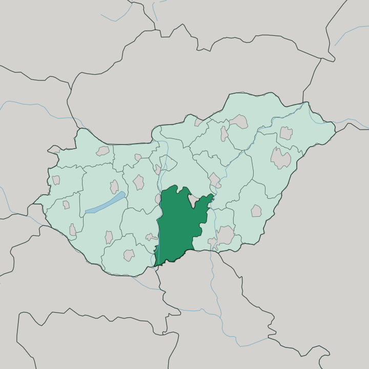
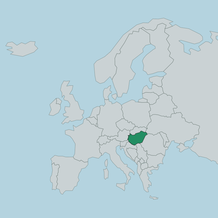
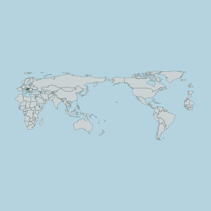
Towns & cities in Bács-Kiskun county
Pick a town or city — each links to where to stay.
Kecskemét is the natural first base, the county seat set almost midway between the Danube and the Tisza. Beds thin out fast. Baja anchors the south, a river port on a Danube branch where the county's low ground finally breaks into the only slight rises it has.
Kalocsa suits anyone drawn to paprika fields and painted folk art, and Kiskunhalas to the west is known for its lace and vineyards. For the open puszta, base yourself near Bugac in Kiskunság National Park. Choose Kecskemét first; choose the smaller towns when you want the plain itself.
About Bács-Kiskun county
This is sand country.
What is Bács-Kiskun county known for?
Bács-Kiskun spreads across the whole flat land between the Danube and the Tisza, the largest county in Hungary and slightly bigger than the entire island of Cyprus. Kecskemét, its seat, sits almost equidistant from both rivers and distils apricot brandy from its orchards. Kalocsa gave the country its painted folk art and much of its paprika.
Herders still work the grassy puszta of Kiskunság National Park, which lies within its borders too.
Where is Bács-Kiskun county?
Bács-Kiskun fills the southern reach of the Great Hungarian Plain, in the part of the country called the Southern Great Plain. It is the largest county in Hungary. The Danube marks its western edge and the Tisza its eastern one, so the whole county sits on the interfluve between the two great rivers of the plain.
Serbia lies along the southern border. The land is famously flat, an old plain of sand carried and reworked by wind into low ridges and dunes that run north-west to south-east. Only around Baja in the south does the ground rise into any real relief.
Between the sandy ridges lie the Solt Plain, the Kalocsa sand ridge, and the Bugac dunes, none of them tall. Kecskemét stands near the centre, roughly the same distance from the Danube on one side and the Tisza on the other. West of it the sand gives way to loess.
Scattered across the interfluve are shallow lakes and salt flats, the residue of a landscape with almost nowhere for water to drain. Kiskunság National Park protects the wildest of this ground, a mosaic of grassland, marsh, and dune spread in patches between the rivers. The plain seems to go on without end.
That flatness, more than any hill or coast, is the fact that shapes the whole county.
What is Bács-Kiskun county like?
Bács-Kiskun keeps the culture of the Hungarian plain close to the surface. Kalocsa is the emblem of it, a town whose writing women hand-paint bright floral motifs onto walls, cloth, and porcelain, a folk art counted among the richest in the country. The same soil around Kalocsa grows the paprika that colours and defines so much Hungarian cooking.
Food and craft are bound tightly together here. The grassland tradition survives in the puszta of Kiskunság National Park, where horse herds and grey longhorn cattle are still driven across open pasture as they were for centuries. Two of Hungary's great names came from this ground.
Sándor Petőfi, the national poet, was born at Kiskőrös, and the composer Zoltán Kodály at Kecskemét. Kecskemét carries the county's urban side. Its central squares hold a run of Art Nouveau architecture, and the town has long distilled apricot brandy from the orchards that ring it.
Wine and fruit shape the calendar as much as anything. Kiskunhalas is known for its needle lace and for a wine harvest festival that fills the streets each autumn. The Hungarian language ties it all together, spoken across the plain and carried in the folk songs Kodály spent his life collecting.
Old and new sit side by side. Painted farmhouses and modern galleries belong to the same county.
What is the history of Bács-Kiskun county?
The name carries two older lands. Kiskunság, or Little Cumania, was settled by the Cumans, a Turkic nomad people whom King Béla IV granted land on the plain after the Mongol invasion emptied it in 1241. That grazing people left their name on the whole northern half of the county.
The Bács half looks south to Bač, the old fortress town now in Serbia. The modern county was drawn only in 1950, welding the former Bács-Bodrog to the southern parts of the sprawling Pest-Pilis-Solt-Kiskun. Two histories became one administrative map.
What is the climate of Bács-Kiskun county?
The plain has a continental climate with none of the sea's moderating hand. Summers turn hot and dry over the open sand, and the Kiskunság can bake under long clear spells that push temperatures to extremes. Winters are cold and comparatively dry, with frost settling early on the flat, unsheltered ground between the Danube and the Tisza.
Rain is modest and unevenly spread, which is why the sandy interfluve holds so little standing water. The plain shows its weather starkly.
How do you get to Bács-Kiskun county?
Most visitors arrive through Budapest, whose airport is the main gateway for the whole plain. From there the M5 motorway runs straight down toward Serbia, reaching Kecskemét in under an hour and carrying on to Szeged. The railway is another way down onto the plain.
Direct services leave Budapest's Nyugati station for Kecskemét roughly every hour. Kecskemét sits almost midway between the capital and Szeged, which makes it an easy stop on the road and rail line south. Road or rail both serve.
Once you are on the plain, flat roads fan out to Baja, Kalocsa, and the puszta.
Updated July 2026