India
Sikkim, India — Towns & Travel Guide


Sikkim is India's small Himalayan state in the far north-east, wrapped around the valleys below Kangchenjunga, the country's highest peak.
Find your area →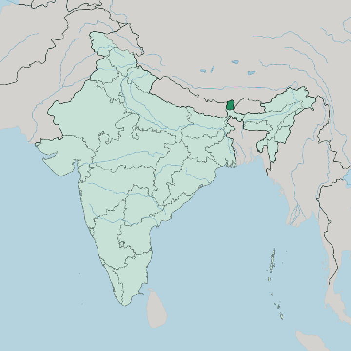
Towns & cities in Sikkim
Pick a town or city — each links to where to stay.
 India
India
Gangtok
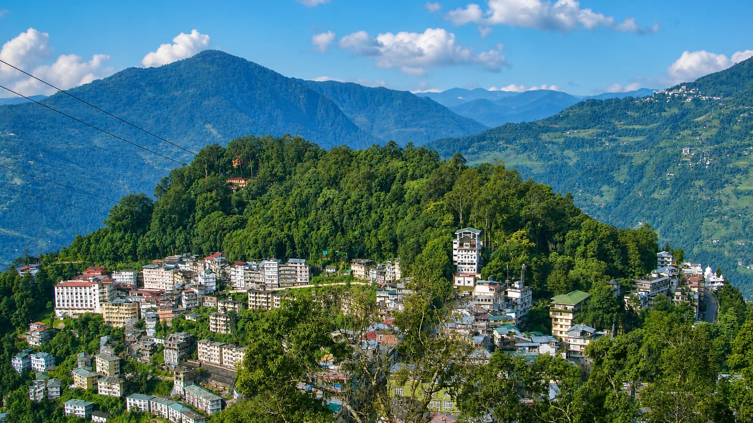
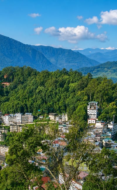
Ridgelines fall away on every side of Gangtok, the hillside capital of Sikkim, high in the eastern Himalayas.Where to stay →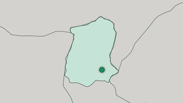
About Sikkim
Sikkim is mountain country.
What is Sikkim known for?
It is the least populous of India's states and the second-smallest, a wedge of the Eastern Himalaya squeezed between Nepal, Tibet and Bhutan. Kangchenjunga defines it. The peak is the highest in India and the third-highest on Earth, rising on the border the state shares with Nepal, and its snows are visible from ridgelines across the west.
Below the snow line sit Buddhist monasteries, terraced hillsides and the capital, Gangtok, strung along a spur above the Teesta valley. Trekkers and pilgrims both come.
Where is Sikkim?
Sikkim occupies a thumb of the Eastern Himalaya in India's far north-east, hemmed in on three sides by international borders. Nepal lies to the west, the Tibet Autonomous Region of China to the north and north-east, and Bhutan to the east. Only the southern edge joins the rest of India, meeting the state of West Bengal, and it is through that narrow neck that every road and rail line arrives.
The land climbs hard. From about 280 metres near the West Bengal border it rises to the summit of Kangchenjunga at 8,586 metres, the highest point in the country and the third-highest on the planet, standing on the Nepal frontier. Water orders the rest.
The Teesta and its tributary the Rangeet run the length of the state from north to south, cutting the deep valleys that most towns and roads follow. Gangtok, the capital, sits on a spur high above the Teesta in the south-east. Almost none of Sikkim is flat.
Ridgelines and river gorges do the work that plains do elsewhere, and the difference between a subtropical valley floor and a snowbound northern peak can be a single day's drive apart.
What is Sikkim like?
Three peoples share these hills. The Lepcha were here first, the oldest of the mountains' communities; the Bhutia came south from Tibet from around the 14th century, bringing Tibetan Buddhism with them; and Nepali-speaking settlers arrived later and now form the largest group. That layering is why Sikkim recognises nearly a dozen official languages, though Nepali is the one most people speak, alongside English.
The mix is unusually settled for a border region. Buddhism gives the state much of its public face. Well over two hundred monasteries dot the ridges, from Pemayangtse above Pelling, founded in the 18th century, to Rumtek near Gangtok, the seat of a major Tibetan Buddhist lineage.
Prayer flags string the passes and the losar and pang lhabsol festivals mark the calendar. Yet Hinduism is the majority religion, carried by the Nepali community, so temple and gompa often stand within sight of each other. Farming still shapes daily life on the terraced slopes.
Sikkim turned its whole agriculture organic, a policy that set it apart from every other Indian state and reshaped how its cardamom and rice are grown.
What is the history of Sikkim?
Sikkim began as a Buddhist kingdom in 1642, when three lamas consecrated Phuntsog Namgyal as the first Chogyal, or priest-king, at Yuksom in the west. The Namgyal dynasty ruled for more than three centuries. British suzerainty came in the 19th century, and after independence Sikkim became a protectorate of India in 1950, with the Chogyal still on the throne but defence and foreign affairs handed to Delhi.
Then it ended fast. A referendum in 1975 abolished the monarchy, and on 16 May that year Sikkim joined the Indian Union as its 22nd state.
What is the climate of Sikkim?
Altitude decides the weather here, not the calendar alone. The climate runs from subtropical in the low southern valleys to alpine and tundra on the northern peaks, so a single state holds palm-warm foothills and permanent snow. Gangtok and the inhabited middle slopes stay temperate and mild for much of the year.
The summer monsoon then soaks the hills from June, feeding the Teesta and its landslide-prone gorges, while winter brings snow to the higher ground and clearer skies for the mountain views. Spring and autumn are the settled seasons.
How do you get to Sikkim?
Almost everyone arrives through West Bengal. The state's only road in crosses its southern border, so the usual gateways are Bagdogra airport and the New Jalpaiguri railway station near Siliguri, both a few hours short of the hills and served by flights and trains from across the country. From there NH10 climbs alongside the Teesta up to Gangtok.
Sikkim does have its own airport, at Pakyong, one of the highest in India, though hill weather makes its flights unreliable. Permits are the other catch. Foreign visitors need them for the border districts of the north and east.
Common questions
What is the best area to stay in Sikkim?
Gangtok: an easy introduction to Sikkim.
Good for
Updated July 2026