India
State of Jhārkhand, India — Towns & Travel Guide


Jhārkhand is a forested plateau state in eastern India, carved from southern Bihar in 2000, its capital at Rānchī.
Find your area →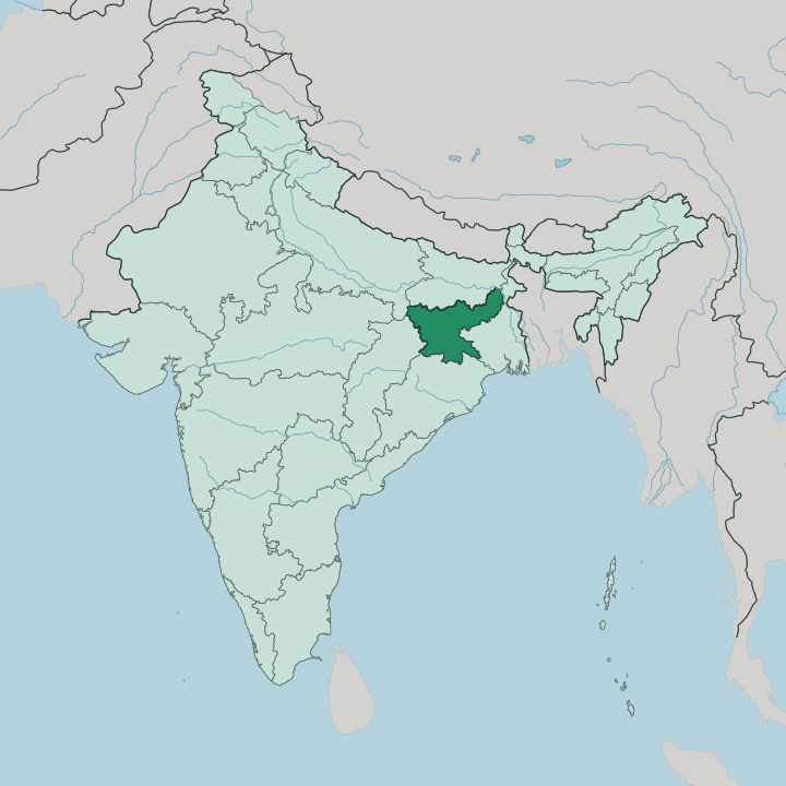
Towns & cities in State of Jhārkhand
Pick a town or city — each links to where to stay.
 India
India
Jamshedpur
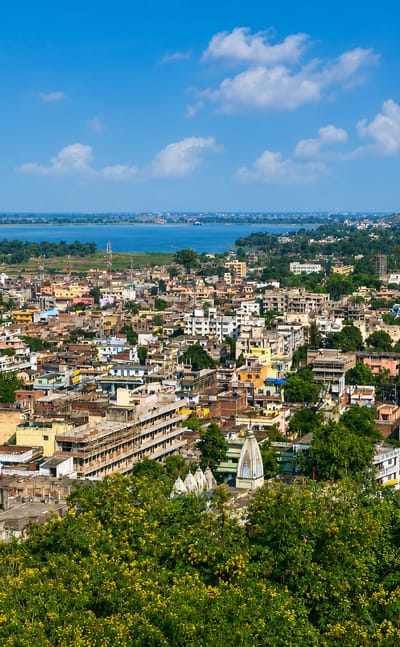
Jamshedpur, also called Tatanagar, is India's first planned steel city, laid out in 1919 between the Swarnarekha and Kharkai rivers.Where to stay →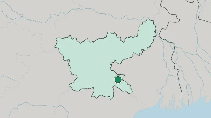
 India
India
Ranchi
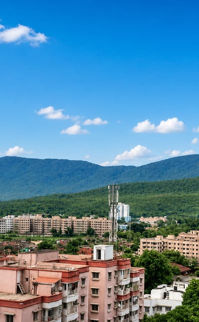
Church spires and museum halls stand across Ranchi, the capital of Jhārkhand in India, known for its tribal museums and the Jhārkhand movement.Where to stay →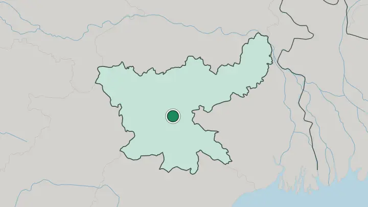
About State of Jhārkhand
The name means land of forests.
What is State of Jhārkhand known for?
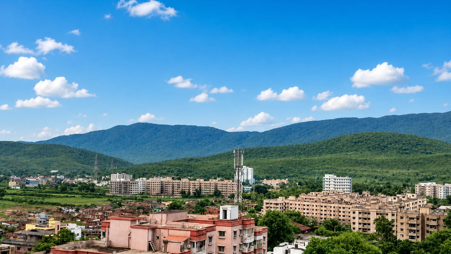
Jhārkhand sits on the Chota Nagpur Plateau, a tableland of undulating hills, waterfalls, and sāl forest that covers nearly the whole state and gives it a cooler, greener face than the plains of Bihar to the north. Coal, iron, and mica lie under that plateau, and Jamshedpur grew here as India's first planned industrial city around the Tata steelworks. It is also Adivāsi heartland.
The Santhal, Munda, Oraon, and Ho peoples have lived on this plateau far longer than any state line, and their festivals, sacred groves, and revolts against colonial rule shaped the movement that made Jhārkhand a state in its own right.
Where is State of Jhārkhand?
Jhārkhand lies in eastern India, a landlocked block of upland with no coast of its own. Bihar borders it to the north. Uttar Pradesh reaches in from the north-west and Chhattisgarh from the west, while West Bengal wraps the east and Odisha the south, so the state is hemmed in on every side by land.
Almost all of it rests on the Chota Nagpur Plateau, a series of stepped plateaus, detached hills, and forested valleys built on old crystalline rock and averaging around 600 metres above the plains. The Tropic of Cancer runs straight through the middle of the state. Rivers cut the tableland in every direction.
The Damodar, once called the sorrow of Bengal for its floods, drains the coal basin across the northern plateau, while the Subarnarekhā rises near Rānchī and slips south-east toward the Bay of Bengal, gathering the Kharkai on its way past Jamshedpur. Sharp granite peaks break the plateau's rolling surface. The highest is Parasnath, the Jain pilgrimage hill of Shikharji, rising to 1,365 metres above the Hazaribagh uplands.
That plateau setting, cooler and more wooded than the flat Gangetic plains north of it, is what sets Jhārkhand apart from Bihar and the country's crowded lowlands.
What is State of Jhārkhand like?
Jhārkhand is Adivāsi country before it is anything else. More than a quarter of its people belong to tribal communities, and the Santhal, Munda, Oraon, and Ho have lived on this plateau longest, each with its own tongue in Santali, Mundari, Kurukh, and Ho. Their year turns on the land.
Sarhul greets the spring and the flowering of the sāl tree, Sohrai honours cattle after the harvest and covers mud walls with painted animals and vines, and worship centres on the sarna, the sacred grove left standing at the edge of a village. That older faith, Sarnaism, keeps its groves and spirits alongside the Hinduism of the plains. History here is a history of resistance too.
Birsa Munda led a rising against colonial rule in the 1890s that still names the state's airport and its founding day. The steel town of Jamshedpur adds another layer, a planned industrial city set among the tribal uplands. Hindi and the state's own Nagpuri serve as the shared speech across markets and towns.
Yet the drum, the grove, and the harvest painting remain the truest signature of Jhārkhand, older than any border drawn around it.
What is the history of State of Jhārkhand?
Jhārkhand became a state on 15 November 2000, cut from the southern districts of Bihar. The date was chosen with care. It is the birth anniversary of Birsa Munda, the young tribal leader whose revolt against the British in 1895 became the greatest of the plateau's many Adivāsi risings.
Long before that, Santhal, Ho, Oraon, and Kol communities had fought colonial attempts to break their self-governing institutions and seize their forests. Those revolts fed a century-long movement for a separate homeland across the Chota Nagpur and Santhal Pargana regions, and that movement is what finally drew the new state's line.
What is the climate of State of Jhārkhand?
The Tropic of Cancer crosses Jhārkhand, giving it a subtropical monsoon climate of three clear seasons. Summers are hot. From March to May the plains cities like Jamshedpur can push past 40 degrees, though the plateau and the ridge at Netarhat stay a few degrees cooler.
The monsoon then breaks in June and soaks the sāl forests and rivers through September, when the Damodar and Subarnarekhā run full. Winters, from November to February, are mild and dry, and that cool, clear stretch through to March is the season most travellers choose for the falls and the forests.
How do you get to State of Jhārkhand?
Air arrivals land at Birsa Munda Airport in Rānchī, the state's main gateway, with flights from Delhi, Kolkata, and Mumbai. A newer airport at Deoghar now serves pilgrims from the north. Trains matter just as much here.
Rānchī, Dhanbad, and the steel town of Jamshedpur all sit on busy lines that connect the plateau to Kolkata and the rest of eastern India. From those hubs, road is the way onward to the waterfalls, the national parks, and the hill air of Netarhat.
Common questions
What is the best area to stay in State of Jhārkhand?
Rānchī: a first base on the Chota Nagpur Plateau. Jamshedpur: the steel city and the Dalma Hills.
Good for
Updated July 2026