India
State of Uttarākhand, India — Towns & Travel Guide


Uttarākhand is India's Himalayan north, Devbhūmi, the Land of the Gods, where the Ganges and the Yamuna both begin.
Find your area →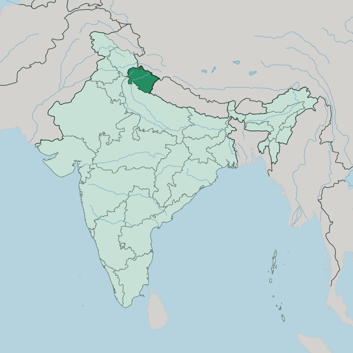
Towns & cities in State of Uttarākhand
Pick a town or city — each links to where to stay.
 India
India
Haridwar
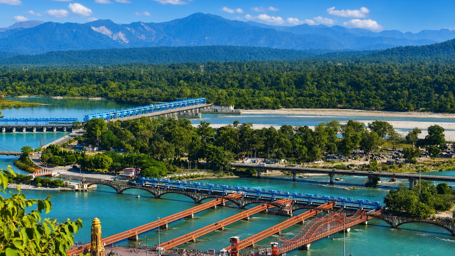
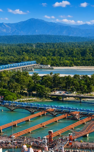
The Ganges River runs cool through Haridwar, a Hindu pilgrimage city in Uttarakhand, India, where the water leaves the hills for the plain.Where to stay →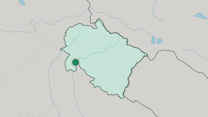
 India
India
Rishīkesh
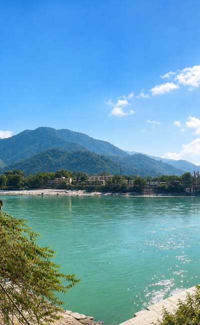
The Ganges comes down from the Himalayas at Rishīkesh, a pilgrimage town in Uttarakhand, India, known for its ashrams and its name as a yoga capital.Where to stay →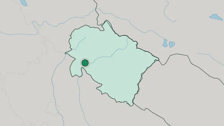
About State of Uttarākhand
Pilgrims know this state as Devbhūmi.
What is State of Uttarākhand known for?
Its Char Dham circuit strings together four Himalayan shrines, Yamunotri and Gangotri at the sources of the Yamuna and the Ganges, then Kedarnath's Shiva temple and Badrinath's temple to Vishnu, and draws millions up the mountain roads each open season. Below the high peaks sit the hill stations and river towns that most travellers actually stay in. Rishikesh on the Ganges is the yoga capital.
Haridwar hosts the Kumbh Mela, and Jim Corbett protects the tigers.
Where is State of Uttarākhand?
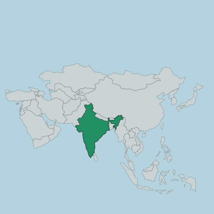
Uttarākhand fills a slice of the Himalayas in the far north of India, wedged against the mountain frontier. Tibet lies over the northern border and Nepal to the east, while Himachal Pradesh sits to the north-west and the plains of Uttar Pradesh spread away to the south. The land climbs in steps.
It rises from the flat Terai and the wide valley around Dehradun, up through the forested Lesser Himalaya, to the snow of the Greater Himalaya on the Tibetan rim. Nanda Devi crowns it all, the highest peak that stands entirely within India, hard against the Chamoli high country. Tradition splits the state in two.
Garhwal takes the west, holding Dehradun, Haridwar and the Char Dham shrines; Kumaon takes the east, with Nainital and the hills beyond. Two of India's holiest rivers are born here. The Ganges gathers itself at Gangotri and the Yamuna at Yamunotri, both fed by glaciers on the high slopes, and both leave the mountains near Haridwar for the plains below.
Water, more than any line on a map, orders this place.
What is State of Uttarākhand like?
Faith sets the rhythm here. The name Devbhūmi, Land of the Gods, is no tourist slogan, it comes from the density of temples and river shrines woven through the hills, and from the Char Dham pilgrimage that has drawn the devout up these valleys for centuries. Haridwar's Kumbh Mela is the largest gathering of pilgrims on earth, its bathing ghats packed when the fair returns.
That devotion sits alongside two distinct mountain cultures. Garhwalis and Kumaonis take their names from the state's two divisions. Each keeps its own dialect beside the Hindi spoken across the state, its own festivals, and its own arts, Kumaoni work runs to geometric patterns, Garhwali to forms drawn from nature.
Choliya, a sword dance, still marches through village weddings and fairs. The traditions of Vedic chanting, the Kumbh Mela and Garhwal's Ramman are all inscribed on UNESCO's list of intangible cultural heritage. Rishikesh sends the ancient practice outward.
Its ashrams gave yoga much of its modern global reach, and the evening Ganga aarti on the riverbank still gathers crowds to the water at dusk.
What is the history of State of Uttarākhand?
This is young ground, politically. The hills long belonged to two kingdoms, Garhwal in the west and Kumaon in the east, before both were folded into British India and later into the sprawling state of Uttar Pradesh. The hill people never quite fit that lowland state.
A statehood movement gathered through the 1990s until Parliament carved the mountain districts away in 2000, creating a state first named Uttaranchal. It took the name Uttarākhand at the start of 2007. The old kingdoms of Garhwal and Kumaon still name its two halves.
What is the climate of State of Uttarākhand?
Altitude writes the weather here. The valley towns of Dehradun and Haridwar run warm through spring and summer, while the hill stations and the high shrines stay cool, and the highest passes to the shrines lie under snow for much of the year. Then the monsoon arrives.
From June into September the south-west monsoon dumps most of the year's rain on the mountains, swelling the Ganges and closing landslide-prone roads. The clearest months for the high country come after the rains ease.
How do you get to State of Uttarākhand?
Most journeys funnel through Dehradun. Jolly Grant Airport, just outside the city, is the state's main air gateway, with flights down to Delhi and other Indian hubs. The railway matters just as much, the Vande Bharat Express covers the roughly 302 kilometres from Delhi to Dehradun in under five hours, and trains also serve Haridwar and Rishikesh.
From those valley towns the mountain roads take over. Buses and shared jeeps grind up the switchbacks to the hill stations and the Char Dham shrines beyond.
Good for
Updated July 2026