Jordan
Al Karak, Jordan — Towns & Travel Guide


Al Karak is a governorate of southern Jordan on the Moab highlands, ruled by the great medieval Kerak Castle above the Dead Sea.
About Al Karak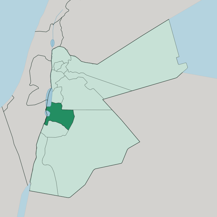
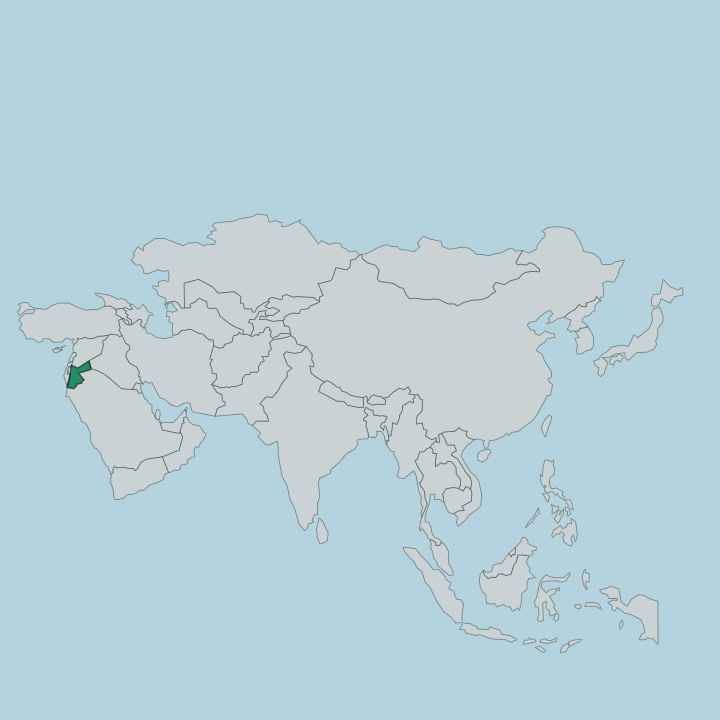
Towns & cities in Al Karak
Pick a town or city — each links to where to stay.
Nearly everyone bases in Karak town. The hilltop old quarter sits directly below the castle walls, and the governorate's other centres are farming towns and Dead Sea lowlands rather than tourist bases. Stay in Karak town for the fortress and the King's Highway drive; you wake within walking distance of the ramparts.
Mu'tah, just south, is a quiet university town beside the mausoleum where the Battle of Mu'tah was fought. Down in Ghor as-Safi, on the Dead Sea flats far below the ridge, beds are farm-town simple and the draw is the shoreline, not the room.
About Al Karak
One castle defines Al Karak.
What is Al Karak known for?
Kerak Castle crowns the hilltop town of the same name, a Crusader stronghold begun in the 1140s and later held by Saladin's Ayyubids and the Mamluks. The fortress guards the King's Highway. That ancient caravan road runs the length of the governorate and once carried pilgrims and traders alike between Damascus and Mecca, and the land itself falls away on either side of it.
West it drops to the Dead Sea; east it climbs to the Moab plateau, so the drive rewards you as much as the walls do.
Where is Al Karak?
Al Karak sits in southern Jordan, about 140 kilometres down the King's Highway from Amman. It is a governorate of two worlds stacked on top of each other. The high ground is the Moab plateau, the mountain chain the ancients called the Mountains of Moab, rising past 1,000 metres where the town of Karak stands on its ridge.
From there the land plunges westward to the Dead Sea, whose shore near Ghor as-Safi lies more than 300 metres below sea level, the lowest dry land on Earth. That single governorate therefore spans a vertical drop of well over a kilometre between its eastern heights and its western flats. Wadi Mujib cuts the northern boundary.
The gorge the Bible names the Arnon carries its stream down through the Moab highlands and empties into the Dead Sea, a canyon so deep it has always divided north from south. Ma'an lies east across the desert and Tafilah to the south, while the Dead Sea forms the whole western edge. Rich red farmland covers the plateau between the towns.
The King's Highway threads the crest of it, linking Karak, Mu'tah, Ar-Rabba and the smaller villages in one long ribbon along the ridge.
What is Al Karak like?
Al Karak is tribal, Arabic-speaking, and deeply proud of its past. Both Muslim and Christian families have farmed the Moab plateau here for generations, and the town of Karak keeps churches and mosques within the same old walls. Arabic is the common tongue, spoken in the strong Bedouin-influenced dialect of the south.
Hospitality is a point of honour on this plateau, and mansaf, Jordan's national dish of lamb and fermented yoghurt over rice, is the meal a Karak household sets before a guest. Faith and history sit close together in daily life. At Mu'tah and Al-Mazar, the mausolea of Ja'far ibn Abi Talib and Zayd ibn Harithah draw Muslim visitors to the graves of companions of the Prophet who fell at the Battle of Mu'tah.
The Mamluk sultan Baybars raised the first tombs over them. Farming still shapes the calendar. Wheat, olives and tomatoes come off the red plateau soil, and the harvest sets the rhythm of the villages strung along the King's Highway.
What is the history of Al Karak?
History piled up on this ridge long before the Crusaders. It was the heartland of the biblical kingdom of Moab, and in 629 the Battle of Mu'tah was fought on its plateau between Muhammad's army and the Byzantines. Then came the castle.
From the 1140s the Crusader lords of Oultrejordain raised Kerak Castle to command the King's Highway, until Saladin took it after a long siege in 1188 and the Mamluks under Baybars made it a regional capital. The Ottomans held the plateau for centuries afterward, and the town was folded into the Emirate of Transjordan that became modern Jordan.
What is the climate of Al Karak?
Altitude splits the weather in two. On the Moab plateau around Karak town the summers are hot and dry and the winters genuinely cold, with rain and the odd snowfall on the higher ground. The plateau catches some of the heaviest rainfall in Jordan, which is why its red soil farms so well.
Drop west to Ghor as-Safi on the Dead Sea flats and the air turns furnace-hot in summer and mild in winter, warm enough that crops ripen while the ridge above lies under frost.
How do you get to Al Karak?
Most travellers arrive overland from Amman. Two roads run south: the fast Desert Highway across the plateau's eastern edge, and the slower, older King's Highway that winds through Wadi Mujib and delivers you straight to the castle gate at Karak town. The scenic route is the reason many people come this way at all.
Jordan has no airport in the governorate, so you reach it by car or bus from the capital or from Petra further south. From Karak town the same highway carries on to Mu'tah, Ar-Rabba and the Dead Sea road below.
Good for
Updated July 2026