Jordan
Jerash, Jordan — Towns & Travel Guide


Jerash is a small governorate in northern Jordan, built around Gerasa, the best-preserved Roman city in the country after Petra.
Find your area →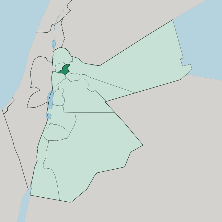
Towns & cities in Jerash
Pick a town or city — each links to where to stay.
Beds cluster tightly in Jerash town, the governorate capital that sits right beside the ruins. Most come for the day. The town itself keeps a handful of small hotels and guesthouses within walking distance of the Arch of Hadrian, enough for travellers who want the site to themselves at opening.
Souf and Sakib, the hill villages northwest toward the Ajloun forests, hold little more than family homes. Base yourself in Jerash town if you want to reach the colonnaded street before the coaches arrive; otherwise most people sleep in Amman and drive up for the morning.
About Jerash
One ruin defines the whole governorate.
What is Jerash known for?
Gerasa, the ancient city that gives Jerash its name, is the reason travellers come north from Amman. Its colonnaded main street, the oval forum ringed by Ionic columns, and the Arch of Hadrian raised for the emperor's visit rank among the finest Roman remains outside Italy. Every summer the ruins host the Jerash Festival of Culture and Arts, filling the old theatres with music.
Second only to Petra, it is the busiest archaeological site in Jordan.
Where is Jerash?
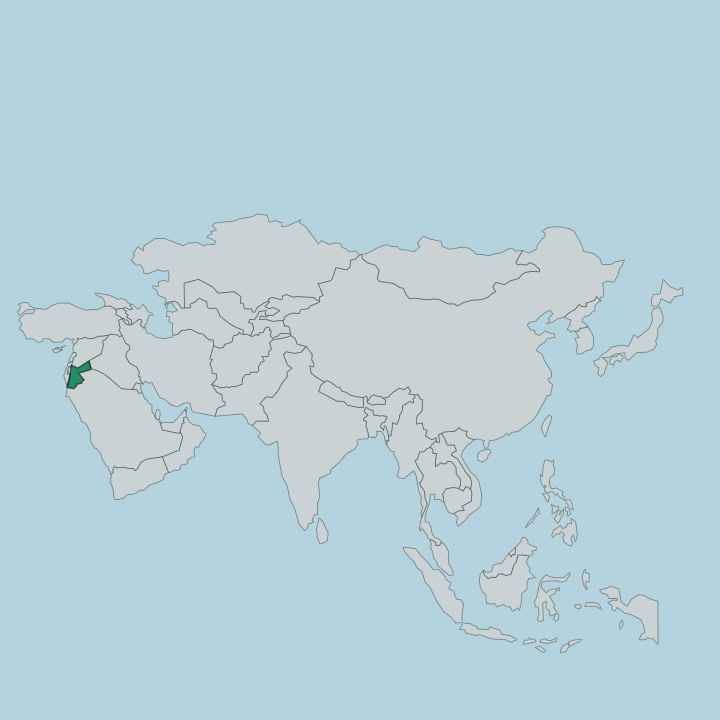
Jerash sits in northern Jordan, wedged between Amman to the south and Irbid to the north. It is the smallest of Jordan's twelve governorates by area, a compact block of hills covering little more than 400 square kilometres. The country's north is crowded.
This little block packs people in tightly, ranking among the most densely settled parts of Jordan, yet its terrain is anything but flat. The land is mountainous, folding from roughly 300 metres up to peaks above 1,200 metres, and the whole region tilts down off the highlands toward the Jordan Valley in the west. A single stream shaped the ancient city and still cuts through it.
The Chrysorhoas, the "Golden River" the Romans knew, rises near Souf village a few kilometres northwest and runs south through the old city before joining the Zarqa River a short way downstream. Ajloun's forested uplands rise to the west, basalt country stretches northeast, and the dry steppe opens out to the east. Small farming towns fill the folds between the ridges.
Souf, Sakib, and Borma spread across the hills, and the governorate divides administratively into three sub-districts named for Jarash, Mastabah, and Borma.
What is Jerash like?
Life in Jerash runs on two tracks: the ruins that draw the world, and the farm villages that carry on around them. Arabic is the everyday language. The modern town grew up on the east bank of the old river, where most of Gerasa's people lived in antiquity, while the excavated monuments spread across the western bank as a preserved archaeological zone.
That split between living town and open-air museum defines the place. The surrounding hills are olive country. Jerash accounts for a sizeable share of Jordan's olive oil, pressed from groves that climb the terraced slopes toward Ajloun's pine forests.
Once a year the culture goes loud. The Jerash Festival brings singers, dancers, and poets from across the Arab world into the Roman theatres and plazas, and the Roman Army and Chariot Experience stages mock legionary drills and races in the old hippodrome. For the rest of the year the site is quieter, walked by visitors tracing the colonnaded cardo and the temples of Artemis and Zeus.
The rhythm here is agricultural and archaeological at once.
What is the history of Jerash?
People have lived here since the Neolithic. The city that made the region famous, Gerasa, took shape as a Hellenistic foundation, credited by ancient inscriptions to Alexander the Great and his general Perdiccas around 331 BC. Under Rome it entered the Decapolis, the league of ten frontier cities, and its wealth built the temples, theatres, and colonnades still standing.
A single day undid much of it. The great earthquake of 749 flattened large parts of Gerasa, the town shrank to a village, and the ruins lay half-buried until systematic excavation began in the 1920s.
What is the climate of Jerash?
Jerash has a mild Mediterranean climate, cooler and wetter than the desert that opens to the east. Its hills catch some of the highest rainfall in Jordan, between 400 and 600 millimetres a year, which is why the slopes around Souf stay green and the olive groves thrive. Summers are warm and dry, winters cool and damp, with rain concentrated in the colder months.
That upland moisture is what feeds the forests of neighbouring Ajloun.
How do you get to Jerash?
Almost everyone comes through Amman. Queen Alia International Airport, south of the capital, is where flights land, leaving roughly 80 kilometres of road north to reach the ruins. The drive up from Amman takes about an hour on the highway toward Irbid, and Jerash sits just off it.
There is no railway and no airport of its own. Most travellers hire a car or join a day tour, and the whole governorate is small enough to cross in a morning.
Common questions
What is the best area to stay in Jerash?
Amman: using the city as a base for the north.
Good for
Updated July 2026